A blank world map with every country outlined, the seven continents and five oceans named, and a worksheet to label them. Free PDFs, landscape, US Letter and A4.
By Team Geography·Last reviewed
On this page
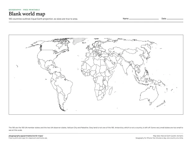
A blank world map with all 195 countries outlined.
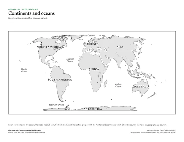
The seven continents and five oceans, named.
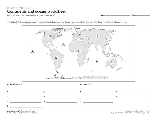
A continents and oceans worksheet with a word bank and answer key.
Landscape, US Letter and A4.
Download
Blank world map
Every country outlined, no labels, Equal Earth projection, on one landscape page. 1 page.
These maps use the Equal Earth projection, which keeps every country at its true size relative to the others. On the Mercator maps most classrooms grew up with, Greenland looks about the size of Africa; here it is drawn at its real size, roughly a fourteenth of Africa. That is a good first conversation to have with the blank map in hand, and why Greenland looks so big on most maps tells the rest of the story.
The continents worksheet uses the seven continent model taught in most US and UK schools, so Australia is labeled as a continent. The country sheets on this site group Australia with the Pacific island states as Oceania, which is the convention the UN uses. Both are right; they answer different questions.
Ways to use them
Hand out the blank map and ask for the five largest countries, then check against an atlas.
Color the continents, then compare with the labeled continents map.
Use the continents and oceans worksheet as a two minute opener before a unit on one continent.
Common questions
Are these printables really free?
Yes. Every sheet is a free PDF with no sign up and no email address. You may print and copy them for your own classroom, homeschool or family. Each one comes in US Letter and A4, and the worksheets carry their answer key on the last page.
How do I print them so nothing is cut off?
Download the PDF that matches your paper, US Letter or A4, and print at actual size or 100 percent. Every sheet keeps half an inch of margin on all sides, so ordinary home and school printers reach every line. The maps print well in black and white; anything with flags needs color.
How many continents and oceans are on the worksheet?
Seven continents (Africa, Antarctica, Asia, Australia, Europe, North America and South America) and five oceans (Arctic, Atlantic, Indian, Pacific and Southern). That is the model most US and UK schools teach. Some countries teach six continents instead, joining the Americas or Europe and Asia.
Which countries do the sheets count?
The same 195 that every page on playgeography.app uses: the 193 UN member states plus the two UN observer states, Vatican City and Palestine. By continent that is Africa 54, Asia 48, Europe 44, North America 23, South America 12 and Oceania 14, following the UN geoscheme.