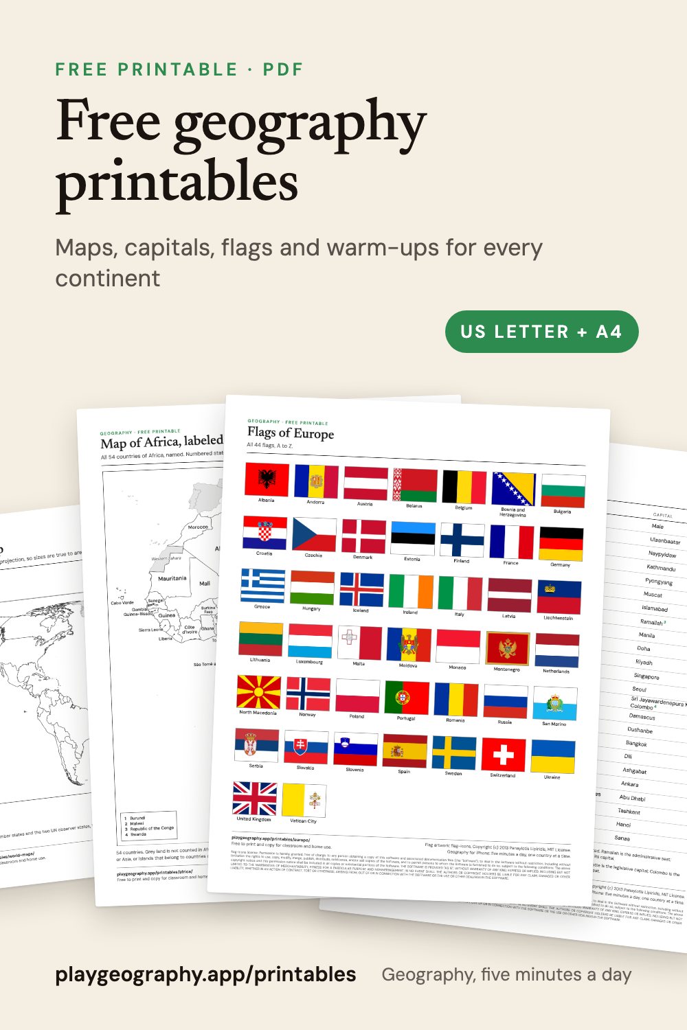
By kind of sheet
A blank world map, and the seven continents and five oceans, named and as a worksheet.
Blank and labeled mapsAn outline map and a labeled map for each of the six continents.
Countries and capitalsA one page cheat sheet per continent, a worksheet with its answer key, and all 195 in one file.
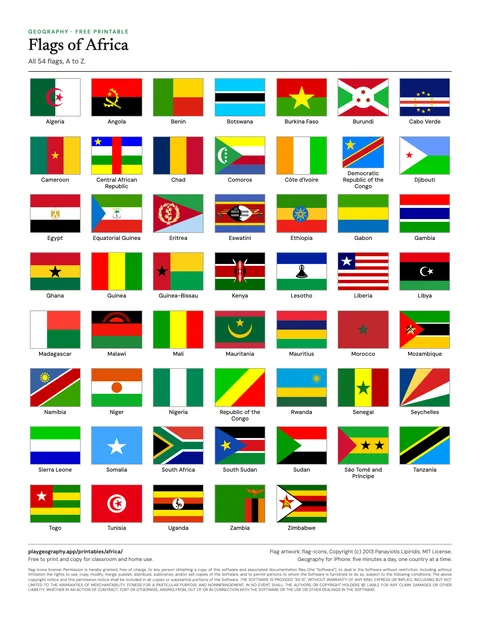
Flags of the worldEvery flag by continent, a numbered flag worksheet with its answer key, and all 195 in one file.
Five minute warm-upsEight countries to find, five capitals and three flags, one sheet per continent.
By continent
Each continent page is a small unit pack: everything for one continent, on one page.
54 countries: blank and labeled maps, capitals, flags and a warm-up.
Asia48 countries: blank and labeled maps, capitals, flags and a warm-up.
Europe44 countries: blank and labeled maps, capitals, flags and a warm-up.
North America23 countries: blank and labeled maps, capitals, flags and a warm-up.
South America12 countries: blank and labeled maps, capitals, flags and a warm-up.
Oceania14 countries: blank and labeled maps, capitals, flags and a warm-up.
The most useful downloads
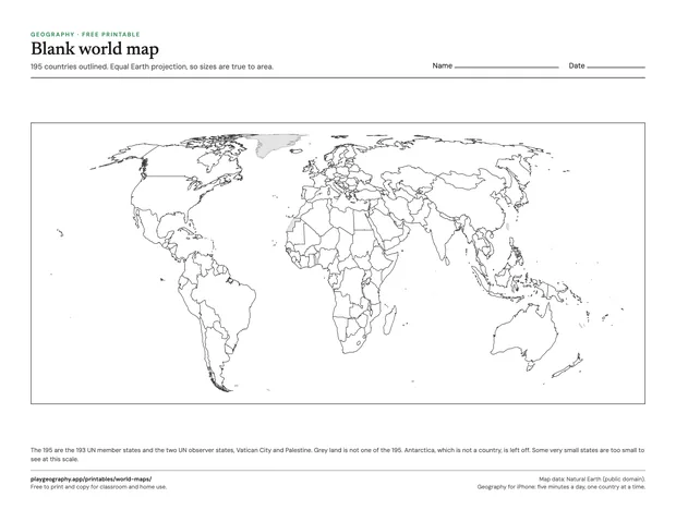
Blank world map
Every country outlined, no labels, Equal Earth projection, on one landscape page.
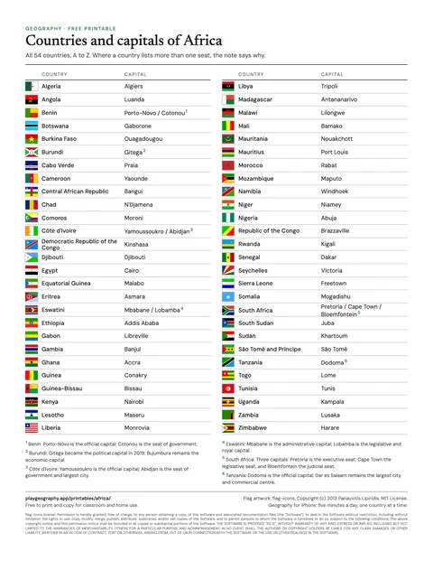
Countries and capitals of the world
All 195 countries and their capitals, one continent per page.
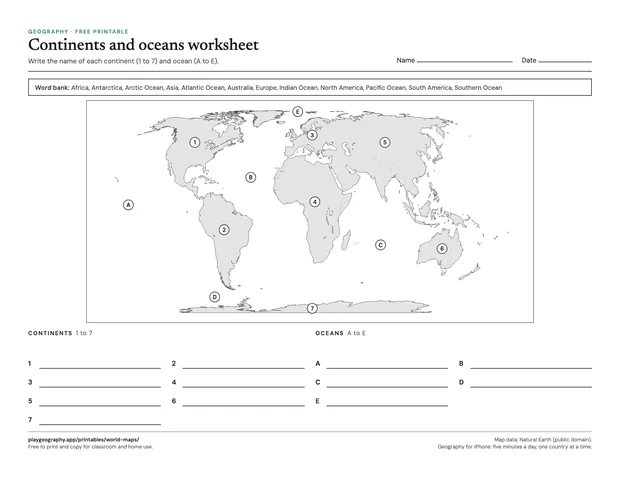
Continents and oceans worksheet
Label the seven continents and five oceans from a word bank. Page two is the answer key.
How the sheets are made
Every country, capital and continent on these sheets is read from the same dataset as the name all 195 countries quiz, so a sheet and a quiz never disagree. Maps are drawn from Natural Earth, a public domain map dataset, and the flags are the MIT licensed flag-icons set. Where a border or a count is argued about, the sheet says which convention it uses and points to the page that explains why, starting with how many countries there are.