How it works Try a lens The library Explore Get started FAQ Download on the App Store →

PRINTABLES

Physical maps of the world to print

Labeled maps and numbered worksheets for the world's great rivers, mountain ranges, deserts, seas and straits, and latitude and longitude. Free PDFs in US Letter and A4, with answer keys.

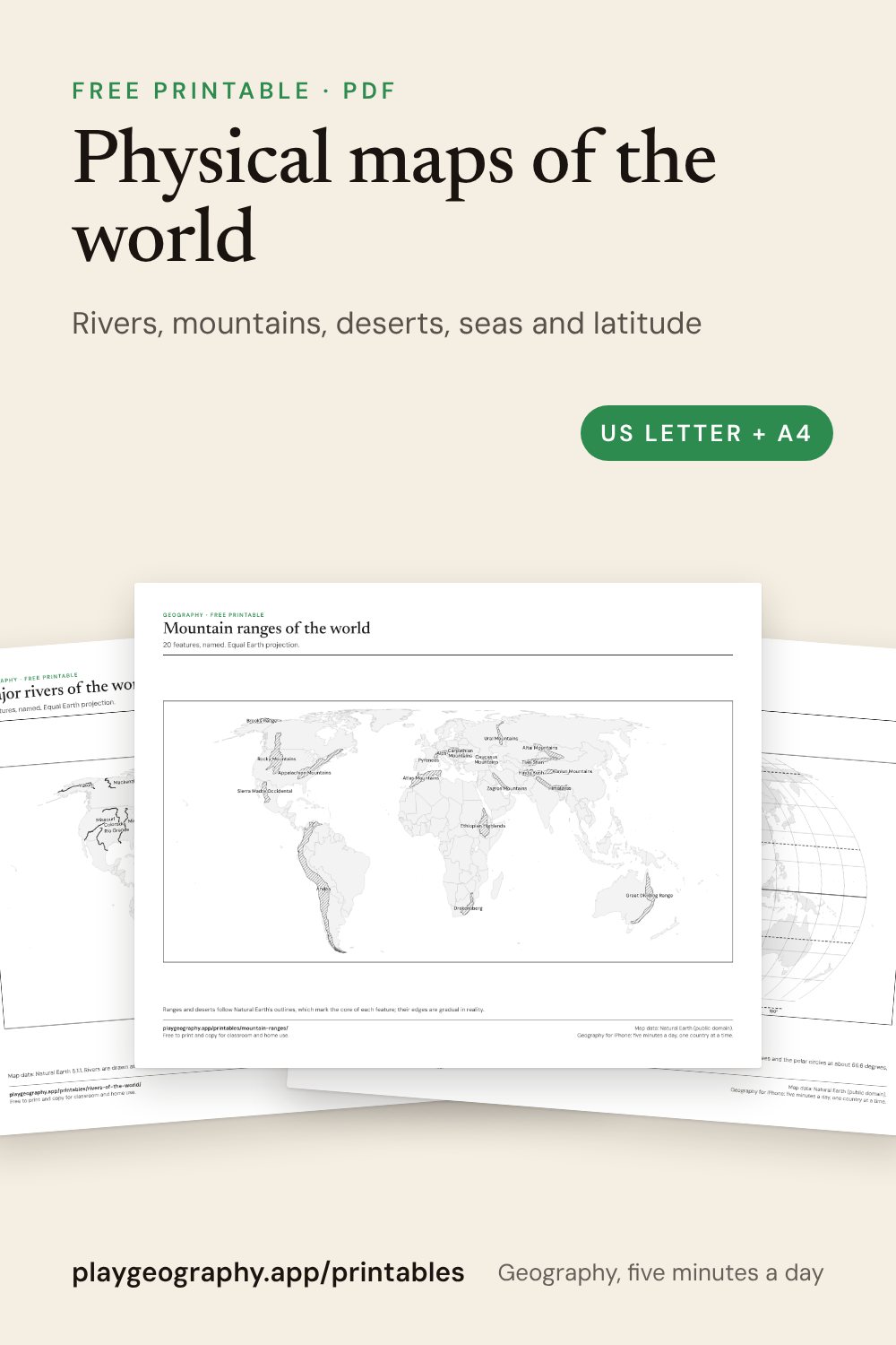
Physical maps of the world: preview of the printable sheets

On this page

  • Rivers, mountain ranges, deserts, and seas and straits of the world.
  • Latitude and longitude, with a coordinates worksheet.
  • A labeled map and a numbered worksheet with answer key for each.
  • US Letter and A4, black and grey only.

Choose a topic

The most useful downloads

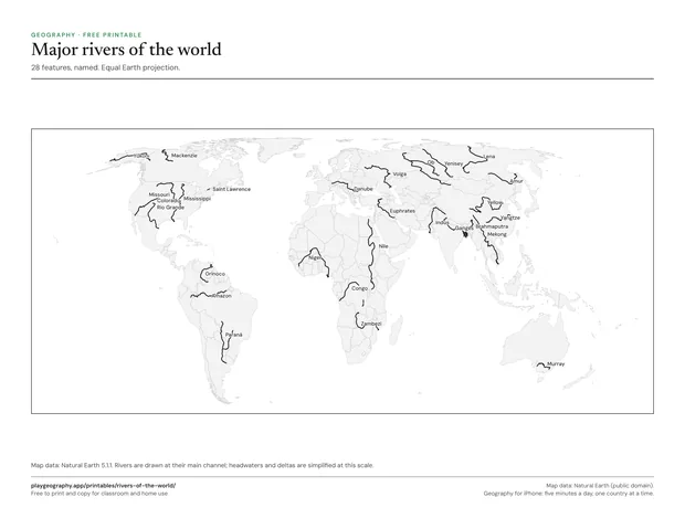
Preview of the Major rivers of the world sheet

Major rivers of the world

The world's great rivers, from the Nile and the Amazon to the Murray, drawn and named. 1 page.
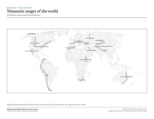
Preview of the Mountain ranges of the world sheet

Mountain ranges of the world

Twenty ranges, from the Himalayas and the Andes to the Drakensberg, hatched and named. 1 page.
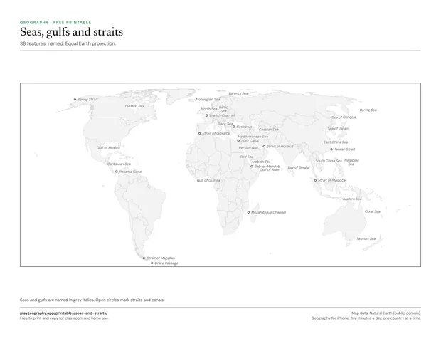
Preview of the Seas, gulfs and straits sheet

Seas, gulfs and straits

Twenty five seas and gulfs and thirteen straits and canals that shipping depends on. 1 page.
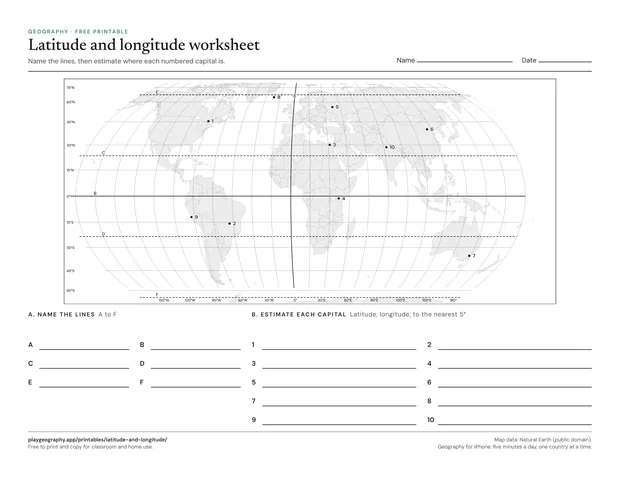
Preview of the Latitude and longitude worksheet sheet

Latitude and longitude worksheet

Name six key lines and estimate the coordinates of ten capitals. Page two is the answer key. 2 pages.

How the maps are drawn

Every sheet uses the same Equal Earth world map as the blank world map, so sizes are true to area and the sheets line up with each other. Rivers are solid black lines, mountain ranges are hatched and deserts are stippled, so a black and white printer loses nothing. The outlines come from Natural Earth, a public domain dataset, which marks the core of each range or desert; in reality their edges are gradual.

Common questions

Are these printables really free?
Yes. Every sheet is a free PDF with no sign up and no email address. You may print and copy them for your own classroom, homeschool or family. Each one comes in US Letter and A4, and the worksheets carry their answer key on the last page.
How do I print them so nothing is cut off?
Download the PDF that matches your paper, US Letter or A4, and print at actual size or 100 percent. Every sheet keeps half an inch of margin on all sides, so ordinary home and school printers reach every line. The maps print well in black and white; anything with flags needs color.
Which is the longest river in the world?
The Nile and the Amazon are the two longest, and which comes first depends on where each river's source and mouth are measured, so atlases differ. The Nile is the usual answer in schools. The Yangtze is the longest river that flows within a single country.
Which is the longest mountain range in the world?
On land, the Andes, which run the length of South America's west coast. The highest is the Himalayas, home to Mount Everest. Under the sea, the mid-ocean ridge is far longer than any range on land.

Keep exploring