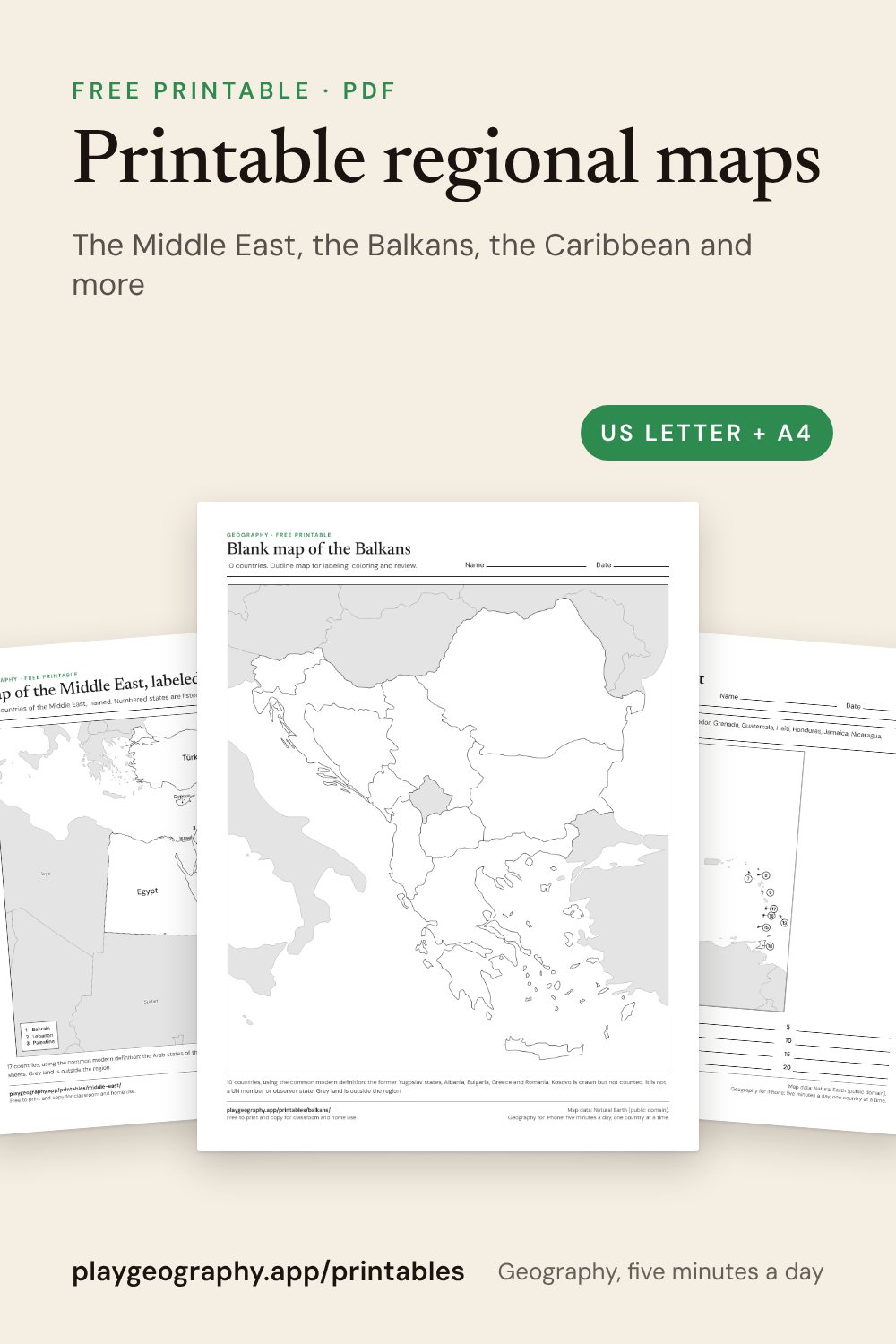
Choose a region
17 countries: blank map, labeled map and a numbered worksheet.
Southeast Asia11 countries: blank map, labeled map and a numbered worksheet.
Central America and the Caribbean20 countries: blank map, labeled map and a numbered worksheet.
The Balkans10 countries: blank map, labeled map and a numbered worksheet.
Scandinavia and the Nordic countries5 countries: blank map, labeled map and a numbered worksheet.
Central Asia5 countries: blank map, labeled map and a numbered worksheet.
West Africa16 countries: blank map, labeled map and a numbered worksheet.
East Africa18 countries: blank map, labeled map and a numbered worksheet.
Southern Africa5 countries: blank map, labeled map and a numbered worksheet.
The most useful downloads
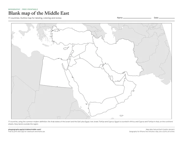
Blank map of the Middle East
Outline map of the 17 countries of the Middle East, no labels. For labeling, coloring and review.
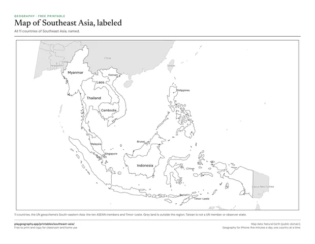
Map of Southeast Asia, labeled
Every country of Southeast Asia named on the map. Use it as the answer key for the blank map.
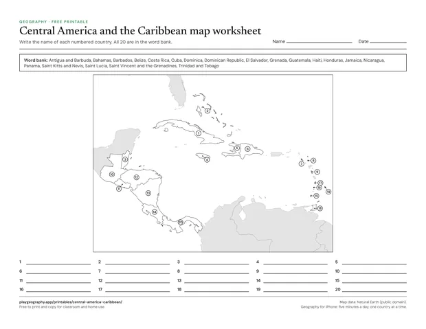
Central America and the Caribbean map worksheet
Name the 20 numbered countries from a word bank. Page two is the answer key.
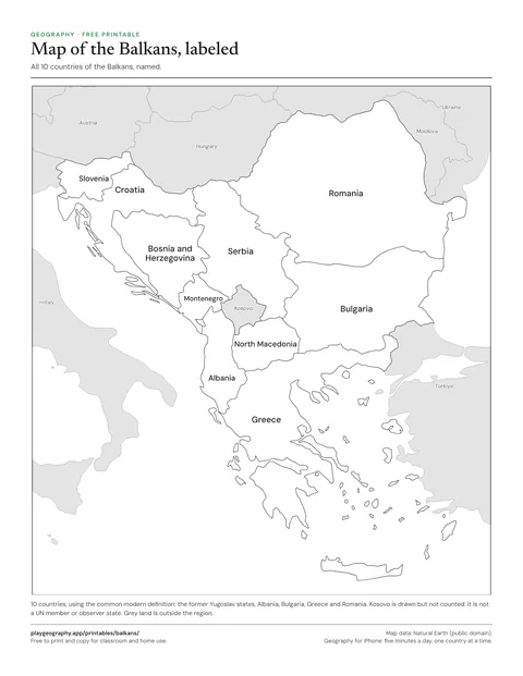
Map of the Balkans, labeled
Every country of the Balkans named on the map. Use it as the answer key for the blank map.
Why regional maps
On a continent map the countries that make the news are often the hardest to read. The Gulf states, the Balkans and the Caribbean islands shrink to dots, and their names go into a numbered key. A regional sheet gives the same countries a whole page, so every name fits on the map and a class can work on one part of the world at a time.
Regions overlap continents. Egypt is counted in Africa on the continent sheets and appears again on the Middle East sheet, and Mexico, counted in North America, is drawn in grey beside Central America. Each sheet's note says exactly which countries it counts and which definition it follows, because regions such as the Middle East or the Balkans have more than one.