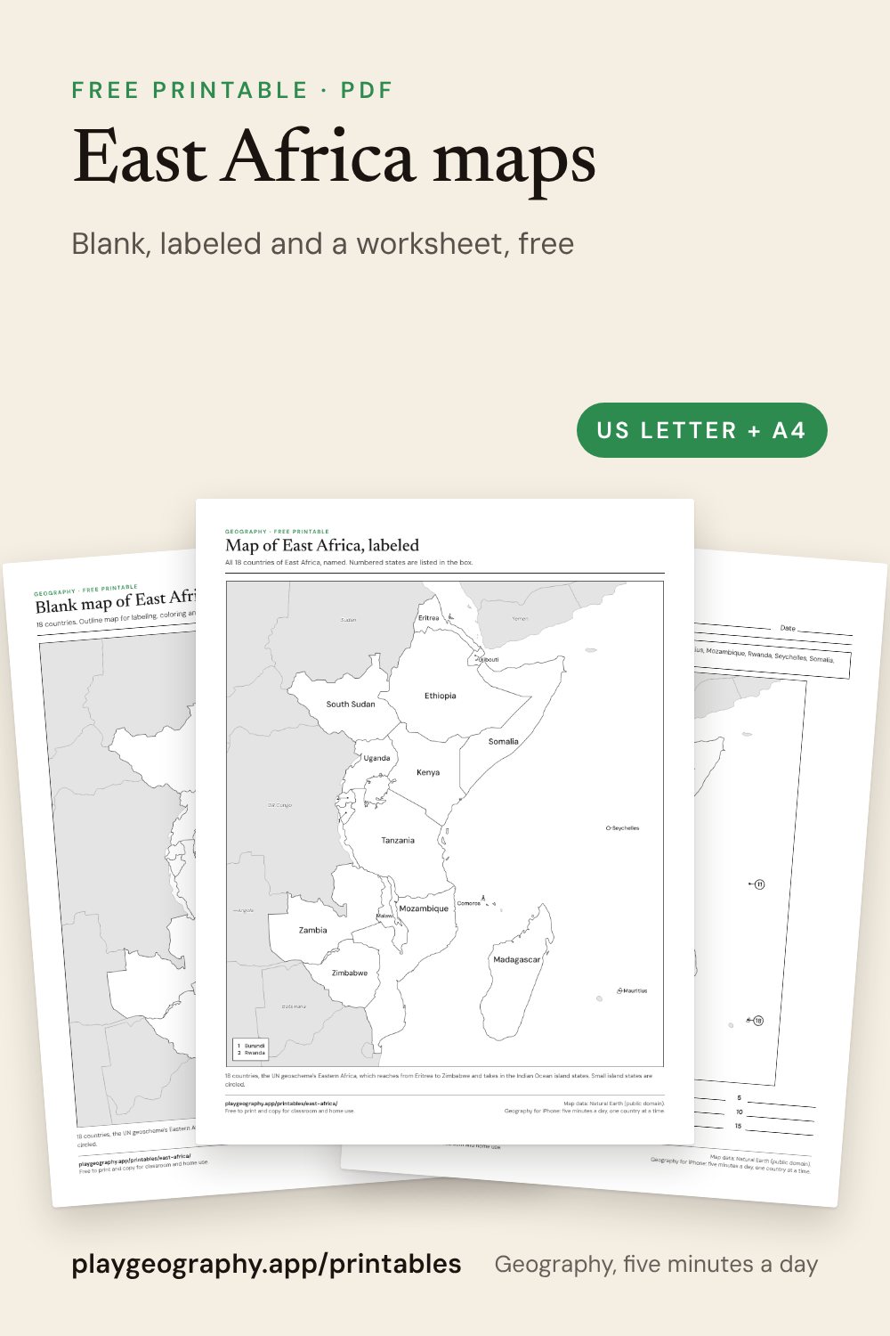
Download
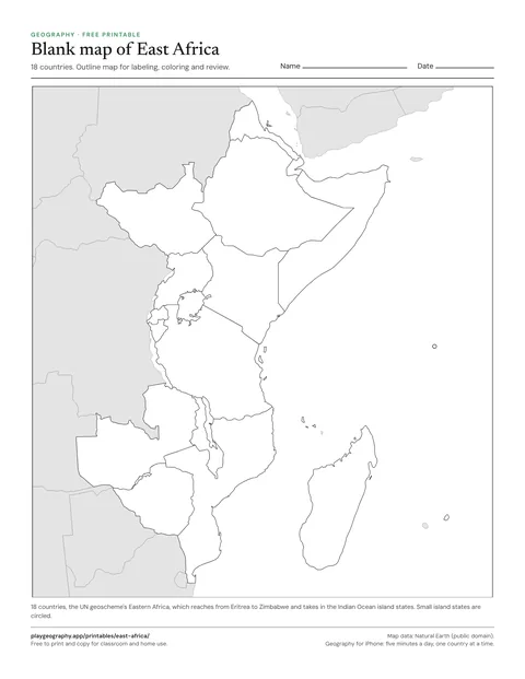
Blank map of East Africa
Outline map of the 18 countries of East Africa, no labels. For labeling, coloring and review.
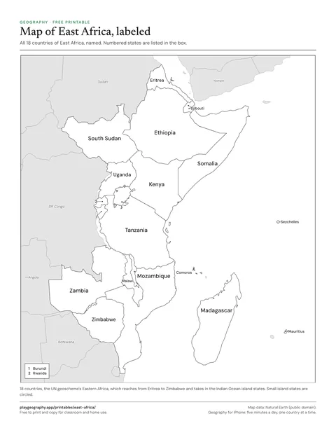
Map of East Africa, labeled
Every country of East Africa named on the map. Use it as the answer key for the blank map.
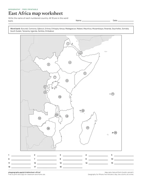
East Africa map worksheet
Name the 18 numbered countries from a word bank. Page two is the answer key.
Which countries are in East Africa?
East Africa follows the UN's Eastern Africa, which is wider than many textbooks: it runs from Eritrea and Djibouti down to Zambia and Zimbabwe, and takes in the Indian Ocean island states, from Madagascar to the Seychelles.
On these sheets that makes 18: Burundi, Comoros, Djibouti, Eritrea, Ethiopia, Kenya, Madagascar, Malawi, Mauritius, Mozambique, Rwanda, Seychelles, Somalia, South Sudan, Tanzania, Uganda, Zambia, Zimbabwe.
Capitals
- Burundi: Gitega
- Comoros: Moroni
- Djibouti: Djibouti
- Eritrea: Asmara
- Ethiopia: Addis Ababa
- Kenya: Nairobi
- Madagascar: Antananarivo
- Malawi: Lilongwe
- Mauritius: Port Louis
- Mozambique: Maputo
- Rwanda: Kigali
- Seychelles: Victoria
- Somalia: Mogadishu
- South Sudan: Juba
- Tanzania: Dodoma
- Uganda: Kampala
- Zambia: Lusaka
- Zimbabwe: Harare
A simple plan for a lesson
- Hand out the blank map and ask what anyone already knows.
- Work through the labeled map together, region by region.
- Finish with the numbered worksheet, using the word bank, and mark it with page two.
Common questions
How many countries are in East Africa?
18 on these sheets: Burundi, Comoros, Djibouti, Eritrea, Ethiopia, Kenya, Madagascar, Malawi, Mauritius, Mozambique, Rwanda, Seychelles, Somalia, South Sudan, Tanzania, Uganda, Zambia and Zimbabwe. East Africa follows the UN's Eastern Africa, which is wider than many textbooks: it runs from Eritrea and Djibouti down to Zambia and Zimbabwe, and takes in the Indian Ocean island states, from Madagascar to the Seychelles..
Are these printables really free?
Yes. Every sheet is a free PDF with no sign up and no email address. You may print and copy them for your own classroom, homeschool or family. Each one comes in US Letter and A4, and the worksheets carry their answer key on the last page.
How do I print them so nothing is cut off?
Download the PDF that matches your paper, US Letter or A4, and print at actual size or 100 percent. Every sheet keeps half an inch of margin on all sides, so ordinary home and school printers reach every line. The maps print well in black and white; anything with flags needs color.