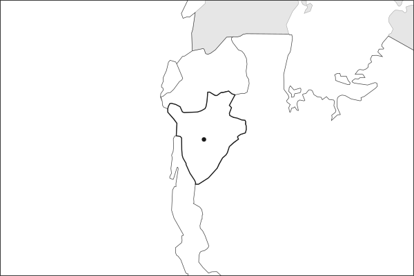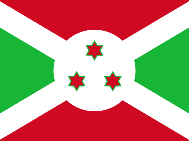
Key facts about Burundi
| Capital | GitegaGitega became the political capital in 2019; Bujumbura remains the economic capital. |
|---|---|
| Continent | Africa |
| Region | East Africa |
| Population | 14,390,003 2025, World Bank. 77th of 195. |
| Area | 27,830 km² (10,745 sq mi) World Bank, surface area. 142nd largest of 195. |
| Population density | 517 people per km² |
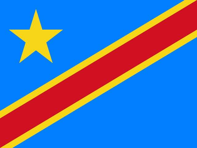
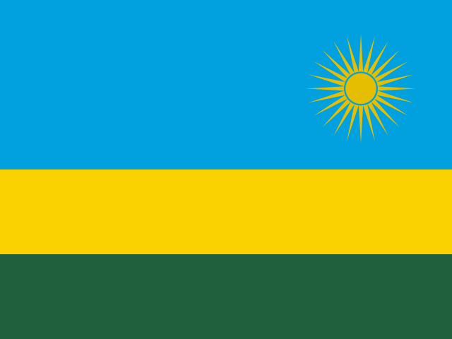
| Land neighbours | 3: Democratic Republic of the Congo, Rwanda, Tanzania |
| Official name | Republic of Burundi |
| UN status | Member state |
| Capital coordinates | 3.43° S, 29.84° E Gitega, Natural Earth. |
Land neighbours
Burundi borders 3 countries on land. Each links to its own page.
From the Geography app
The app teaches each country through short hand written lenses: PLACE for physical geography, STORY for history and identity, NOW for the news, and THREAD for the ties between countries. Here is one of Burundi's 5, in full.
Where does Burundi sit in Africa's interior?
Burundi occupies a compact, hilly territory in the African Great Lakes region, bordered by Rwanda to the north, Tanzania to the east, and the Democratic Republic of the Congo across Lake Tanganyika to the west. The country's western edge drops sharply into the Albertine Rift, one of the most biodiverse corridors on the continent. At roughly 27,834 km², it ranks among Africa's smallest nations, yet its elevation, averaging above 1,500 meters, gives it a temperate climate unusual for its equatorial latitude.
More on Albertine Rift
The western branch of the East African Rift system, running from Lake Albert to Lake Tanganyika. Its montane forests harbor more endemic vertebrate species than any other region on the African mainland.
4 more lenses on Burundi in the app
Titles only. The app brings each lens back on a spaced repetition schedule set by how well you knew it: New, Hazy or Clear.
Compare Burundi with another country
Opens the country comparison tool with population, area, income and more side by side, every figure dated.