Tanzania is a country in Africa, in East Africa, with about 70.5 million people (2025) and an area of 947,300 square kilometres. Its capital is Dodoma, and it shares land borders with 7 countries.
By Team Geography·Last reviewed
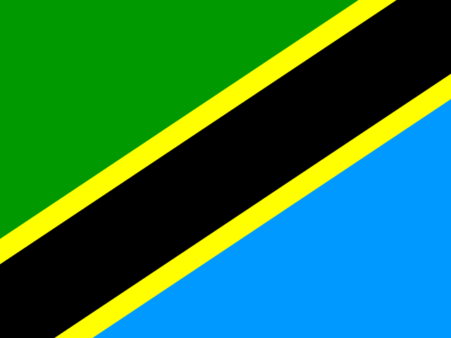
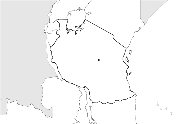
Flag of TanzaniaTanzania in solid, land neighbours outlined, capital marked.
Key facts about Tanzania
Capital
DodomaDodoma is the official capital; Dar es Salaam remains the largest city and commercial centre.
The app teaches each country through short hand written lenses: PLACE for physical geography, STORY for history and identity, NOW for the news, and THREAD for the ties between countries. Here is one of Tanzania's 6, in full.
PLACELens 1 of 6
Tanzania spans from the Indian Ocean to Africa's highest peak
Tanzania stretches from the Indian Ocean coast, with Zanzibar's spice islands offshore, to the shores of Lake Victoria, Africa's largest lake, and Mount Kilimanjaro, the continent's highest point at 5,895 meters. The Great Rift Valley cuts through the country's interior. That geographic range (coast, highlands, rift, savanna, lakes) makes Tanzania one of Africa's most ecologically and strategically diverse countries.
More on Zanzibar
A semi-autonomous archipelago off Tanzania's coast, Zanzibar was historically a center of the Indian Ocean spice and slave trades. It united with mainland Tanganyika in 1964 to form Tanzania but retains its own president and parliament.
5 more lenses on Tanzania in the app
STORY Nyerere unified 120 ethnic groups under Swahili and a shared national idea
STORY The Serengeti is the world's most famous wildlife landscape
NOW The infrastructure arrived; the politics narrowed
THREAD Dar es Salaam is East Africa's logistics chokepoint
PLACE Africa's largest lake is barely eighty meters deep
Titles only. The app brings each lens back on a spaced repetition schedule set by how well you knew it: New, Hazy or Clear.
Compare Tanzania with another country
Opens the country comparison tool with population, area, income and more side by side, every figure dated.
Common questions
What is the capital of Tanzania?
The capital of Tanzania is Dodoma. Dodoma is the official capital; Dar es Salaam remains the largest city and commercial centre. Dodoma lies at about 6.2 degrees south and 35.8 degrees east. Tanzania is in Africa, in the region often called East Africa.
What is the population of Tanzania?
About 70.5 million people live in Tanzania, according to the World Bank figures for 2025. That makes it the 21st most populous of the 195 countries. With an area of 947,300 square kilometres, that is about 74 people per square kilometre.
What countries border Tanzania?
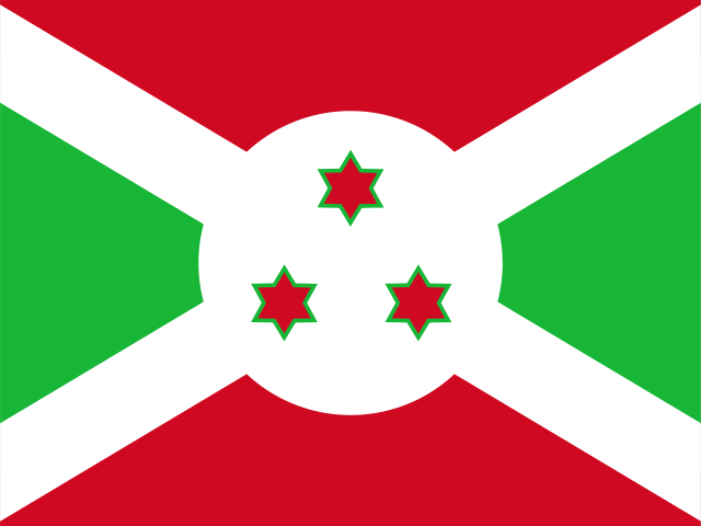
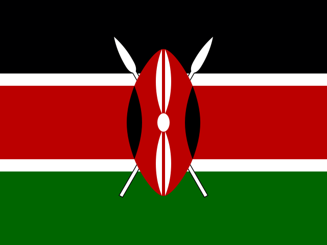
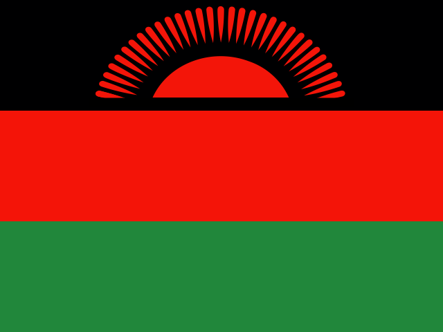
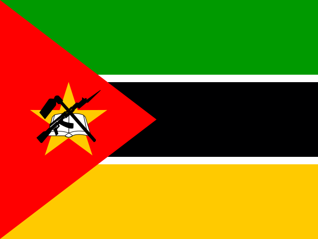
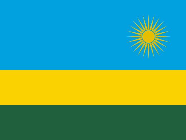
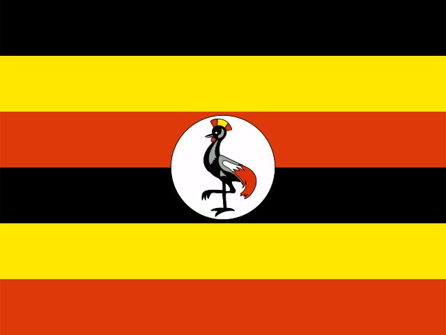
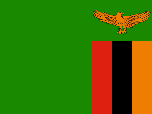
Tanzania shares land borders with 7 countries: Burundi, Kenya, Malawi, Mozambique, Rwanda, Uganda and Zambia. The map on this page outlines each of them around Tanzania. The count includes only borders on land, not neighbours across a sea or a lake.
How big is Tanzania?
Tanzania covers 947,300 square kilometres, or about 365,754 square miles. That makes it the 30th largest of the 195 countries. The figure is total surface area, which includes inland water such as lakes and rivers. Its population of about 70.5 million gives a density of 74 people per square kilometre.
Tanzania is a country in Africa, in East Africa, with about 70.5 million people (2025) and an area of 947,300 square kilometres. Its capital is Dodoma, and it shares land borders with 7 countries.
Capital
DodomaDodoma is the official capital; Dar es Salaam remains the largest city and commercial centre.
Continent
Africa
Region
East Africa
Population
70,545,865 2025, World Bank. 21st of 195.
Area
947,300 km² (365,754 sq mi) World Bank, surface area. 30th largest of 195.
Tanzania spans from the Indian Ocean to Africa's highest peak
Tanzania stretches from the Indian Ocean coast, with Zanzibar's spice islands offshore, to the shores of Lake Victoria, Africa's largest lake, and Mount Kilimanjaro, the continent's highest point at 5,895 meters. The Great Rift Valley cuts through the country's interior. That geographic range (coast, highlands, rift, savanna, lakes) makes Tanzania one of Africa's most ecologically and strategically diverse countries.
Keep going on your iPhone. Scan for Geography: the world, one country at a time, about five minutes a day. No quizzes and no streaks. playgeography.app/countries/tanzania/ · Map data: Natural Earth. Figures: World Bank and national sources, as listed on the page.
Geography · Country report
Tanzania
NameDate
Draw the flag
Colour Tanzania on the map, then fill in what you find.
Capital
Continent
Population
Area
Languages
Currency
Neighbours
Landmarks
Rivers or mountains
Three things I learned
1
2
3
One question I still have
?
Keep going on your iPhone. Scan for Geography: the world, one country at a time, about five minutes a day. No quizzes and no streaks. playgeography.app/countries/tanzania/ · Map data: Natural Earth. Figures: World Bank and national sources, as listed on the page.