Tajikistan is a country in Asia, in Central Asia, with about 10.8 million people (2025) and an area of 141,379 square kilometres. Its capital is Dushanbe, and it shares land borders with 4 countries.
By Team Geography·Last reviewed
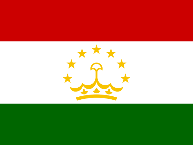
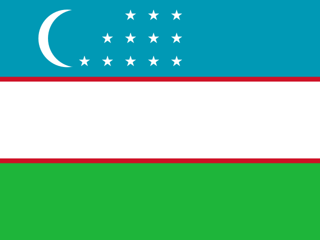
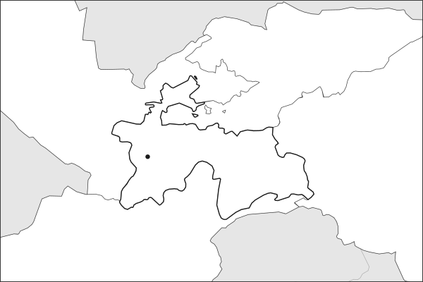
Flag of TajikistanTajikistan in solid, land neighbours outlined, capital marked.
The app teaches each country through short hand written lenses: PLACE for physical geography, STORY for history and identity, NOW for the news, and THREAD for the ties between countries. Here is one of Tajikistan's 8, in full.
PLACELens 1 of 8
Mountains that decide where Central Asia's cotton grows
More than 90 percent of Tajikistan is mountainous. The Pamir and Alay ranges catch the snowfall that feeds the Amu Darya and Syr Darya, the rivers that irrigate cotton and fill reservoirs across Uzbekistan, Turkmenistan, and Kazakhstan. At 143,100 square kilometers it is the smallest Central Asian state, yet its highlands are Central Asia's water tower. Dushanbe sits in a valley at roughly 800 meters, modest by Tajik standards, while the eastern Pamir Highway crosses terrain above 4,000 meters to reach isolated communities.
More on Central Asia's water tower
Tajikistan and neighboring Kyrgyzstan together generate the headwaters for roughly 80 percent of Central Asia's surface water. Downstream nations, particularly Uzbekistan, which depends on irrigation for its cotton sector, view upstream dam-building with deep suspicion.
7 more lenses on Tajikistan in the app
STORY Persian-speaking in a Turkic neighborhood
NOW The world's tallest dam rises in a seismic zone
THREAD The Silk Road never really disappeared here
THREAD Water politics could remake Central Asian alliances
NOW The poorest country in Central Asia runs on remittances
STORY A civil war that shaped everything after it
NOW The mineral that brought Western officials to Dushanbe
Titles only. The app brings each lens back on a spaced repetition schedule set by how well you knew it: New, Hazy or Clear.
Compare Tajikistan with another country
Opens the country comparison tool with population, area, income and more side by side, every figure dated.
Common questions
What is the capital of Tajikistan?
The capital of Tajikistan is Dushanbe. Dushanbe lies at about 38.6 degrees north and 68.8 degrees east. Tajikistan is in Asia, in the region often called Central Asia. It is home to about 10.8 million people. The world capitals quiz on this site tests every capital, and the printable capitals sheets cover each continent.
What is the population of Tajikistan?
About 10.8 million people live in Tajikistan, according to the World Bank figures for 2025. That makes it the 90th most populous of the 195 countries. With an area of 141,379 square kilometres, that is about 76 people per square kilometre.
What countries border Tajikistan?
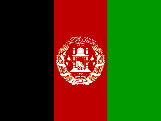
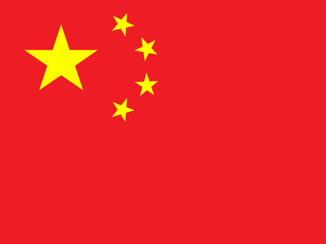
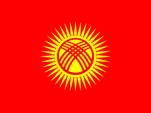
Tajikistan shares land borders with 4 countries: Afghanistan, China, Kyrgyzstan and Uzbekistan. The map on this page outlines each of them around Tajikistan. The count includes only borders on land, not neighbours across a sea or a lake. Borders here follow Natural Earth at the 1:50 million scale, with Crimea shown as part of Ukraine and Western Sahara as a separate territory.
How big is Tajikistan?
Tajikistan covers 141,379 square kilometres, or about 54,587 square miles. That makes it the 95th largest of the 195 countries. The figure is total surface area, which includes inland water such as lakes and rivers. Its population of about 10.8 million gives a density of 76 people per square kilometre.
Tajikistan is a country in Asia, in Central Asia, with about 10.8 million people (2025) and an area of 141,379 square kilometres. Its capital is Dushanbe, and it shares land borders with 4 countries.
Capital
Dushanbe
Continent
Asia
Region
Central Asia
Population
10,786,734 2025, World Bank. 90th of 195.
Area
141,379 km² (54,587 sq mi) World Bank, surface area. 95th largest of 195.
Population density
76 people per km²
Land neighbours
4: Afghanistan, China, Kyrgyzstan, Uzbekistan
Official name
Republic of Tajikistan
UN status
Member state
PLACE · from the Geography app
Mountains that decide where Central Asia's cotton grows
More than 90 percent of Tajikistan is mountainous. The Pamir and Alay ranges catch the snowfall that feeds the Amu Darya and Syr Darya, the rivers that irrigate cotton and fill reservoirs across Uzbekistan, Turkmenistan, and Kazakhstan. At 143,100 square kilometers it is the smallest Central Asian state, yet its highlands are Central Asia's water tower. Dushanbe sits in a valley at roughly 800 meters, modest by Tajik standards, while the eastern Pamir Highway crosses terrain above 4,000 meters to reach isolated communities.
Keep going on your iPhone. Scan for Geography: the world, one country at a time, about five minutes a day. No quizzes and no streaks. playgeography.app/countries/tajikistan/ · Map data: Natural Earth. Figures: World Bank and national sources, as listed on the page.
Geography · Country report
Tajikistan
NameDate
Draw the flag
Colour Tajikistan on the map, then fill in what you find.
Capital
Continent
Population
Area
Languages
Currency
Neighbours
Landmarks
Rivers or mountains
Three things I learned
1
2
3
One question I still have
?
Keep going on your iPhone. Scan for Geography: the world, one country at a time, about five minutes a day. No quizzes and no streaks. playgeography.app/countries/tajikistan/ · Map data: Natural Earth. Figures: World Bank and national sources, as listed on the page.