Uganda is a country in Africa, in East Africa, with about 51.4 million people (2025) and an area of 241,550 square kilometres. Its capital is Kampala, and it shares land borders with 5 countries.
By Team Geography·Last reviewed
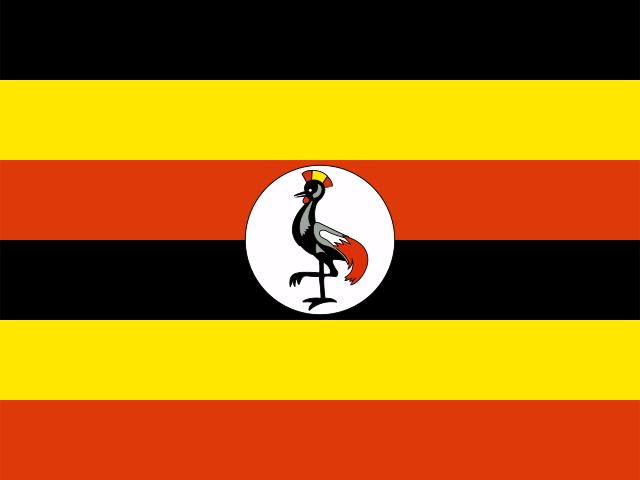
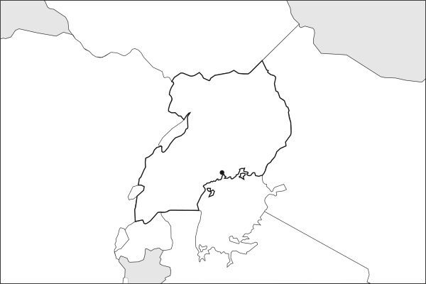
Flag of UgandaUganda in solid, land neighbours outlined, capital marked.
The app teaches each country through short hand written lenses: PLACE for physical geography, STORY for history and identity, NOW for the news, and THREAD for the ties between countries. Here is one of Uganda's 7, in full.
PLACELens 1 of 7
Where the Nile begins its journey north
Uganda is landlocked in East Africa, cradled between the two arms of the Great Rift Valley. Lake Victoria, Africa's largest lake, fills the southeast, and from its northern shore the White Nile starts a 6,600-kilometer journey to the Mediterranean. The country sits on a plateau averaging 1,100 meters, which gives it a milder climate than its equatorial latitude suggests. In the west, the Rwenzori Mountains, Ptolemy's "Mountains of the Moon," rise above 5,000 meters along the Congolese border, their glaciers retreating fast.
More on White Nile
The Nile's longer tributary begins at Lake Victoria's outlet near Jinja, Uganda. It flows north through Lake Kyoga and Lake Albert before entering South Sudan. The river's flow is critical to downstream Egypt and Sudan, making Uganda a key player in Nile basin politics.
6 more lenses on Uganda in the app
STORY The Pearl of Africa has kingdoms inside a republic
STORY A country shaped by its most famous dictator
NOW Mountain gorillas and oil: Uganda's competing futures
THREAD East Africa's underestimated crossroads
NOW The youngest country on the youngest continent
PLACE A country built on volcanic soil and freshwater
Titles only. The app brings each lens back on a spaced repetition schedule set by how well you knew it: New, Hazy or Clear.
Compare Uganda with another country
Opens the country comparison tool with population, area, income and more side by side, every figure dated.
Common questions
What is the capital of Uganda?
The capital of Uganda is Kampala. Kampala lies at about 0.3 degrees north and 32.6 degrees east. Uganda is in Africa, in the region often called East Africa. It is home to about 51.4 million people. The world capitals quiz on this site tests every capital, and the printable capitals sheets cover each continent.
What is the population of Uganda?
About 51.4 million people live in Uganda, according to the World Bank figures for 2025. That makes it the 31st most populous of the 195 countries. With an area of 241,550 square kilometres, that is about 213 people per square kilometre.
What countries border Uganda?
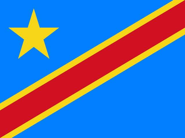
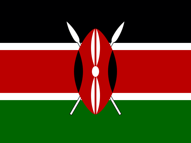
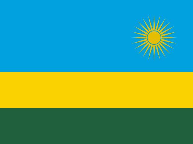
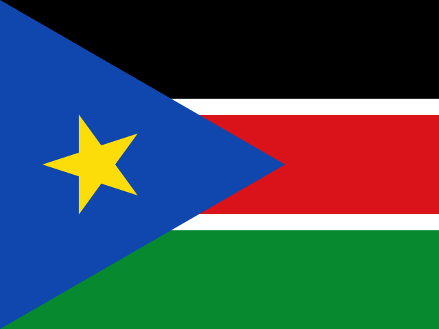
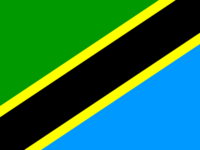
Uganda shares land borders with 5 countries: Democratic Republic of the Congo, Kenya, Rwanda, South Sudan and Tanzania. The map on this page outlines each of them around Uganda. The count includes only borders on land, not neighbours across a sea or a lake.
How big is Uganda?
Uganda covers 241,550 square kilometres, or about 93,263 square miles. That makes it the 79th largest of the 195 countries. The figure is total surface area, which includes inland water such as lakes and rivers. Its population of about 51.4 million gives a density of 213 people per square kilometre.
Uganda is a country in Africa, in East Africa, with about 51.4 million people (2025) and an area of 241,550 square kilometres. Its capital is Kampala, and it shares land borders with 5 countries.
Capital
Kampala
Continent
Africa
Region
East Africa
Population
51,384,894 2025, World Bank. 31st of 195.
Area
241,550 km² (93,263 sq mi) World Bank, surface area. 79th largest of 195.
Population density
213 people per km²
Land neighbours
5: Democratic Republic of the Congo, Kenya, Rwanda, South Sudan, Tanzania
Official name
Republic of Uganda
UN status
Member state
PLACE · from the Geography app
Where the Nile begins its journey north
Uganda is landlocked in East Africa, cradled between the two arms of the Great Rift Valley. Lake Victoria, Africa's largest lake, fills the southeast, and from its northern shore the White Nile starts a 6,600-kilometer journey to the Mediterranean. The country sits on a plateau averaging 1,100 meters, which gives it a milder climate than its equatorial latitude suggests. In the west, the Rwenzori Mountains, Ptolemy's "Mountains of the Moon," rise above 5,000 meters along the Congolese border, their glaciers retreating fast.
Keep going on your iPhone. Scan for Geography: the world, one country at a time, about five minutes a day. No quizzes and no streaks. playgeography.app/countries/uganda/ · Map data: Natural Earth. Figures: World Bank and national sources, as listed on the page.
Geography · Country report
Uganda
NameDate
Draw the flag
Colour Uganda on the map, then fill in what you find.
Capital
Continent
Population
Area
Languages
Currency
Neighbours
Landmarks
Rivers or mountains
Three things I learned
1
2
3
One question I still have
?
Keep going on your iPhone. Scan for Geography: the world, one country at a time, about five minutes a day. No quizzes and no streaks. playgeography.app/countries/uganda/ · Map data: Natural Earth. Figures: World Bank and national sources, as listed on the page.