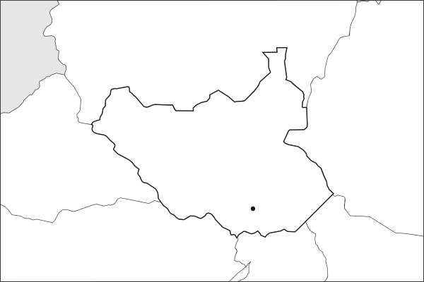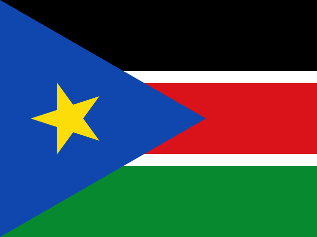
Key facts about South Sudan
| Capital | Juba |
|---|---|
| Continent | Africa |
| Region | East Africa |
| Population | 12,188,788 2025, World Bank. 80th of 195. |
| Area | 646,883 km² (249,763 sq mi) World Bank, surface area. 41st largest of 195. |
| Population density | 19 people per km² |
| Land neighbours | 6: Central African Republic, Democratic Republic of the Congo, Ethiopia, Kenya, Sudan, Uganda |
| Official name | Republic of South Sudan |
| UN status | Member state |
| Capital coordinates | 4.83° N, 31.58° E Juba, Natural Earth. |
Land neighbours
South Sudan borders 6 countries on land. Each links to its own page.
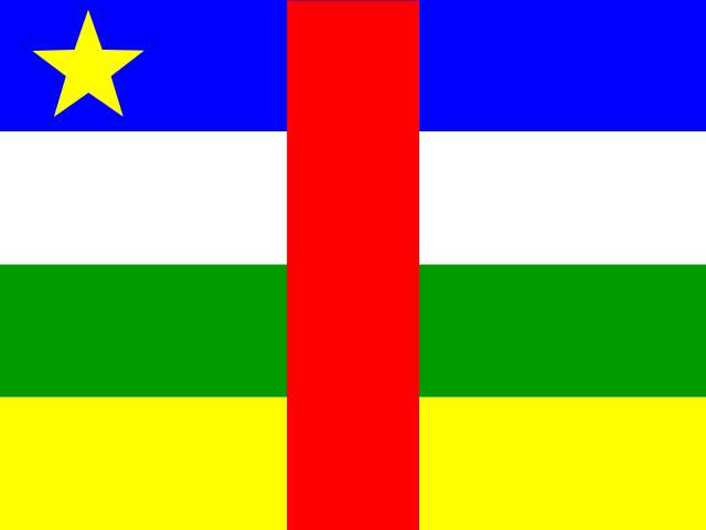 Central African RepublicBangui
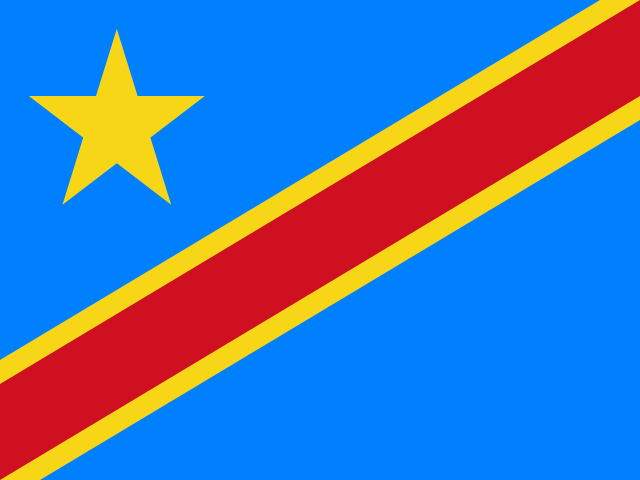 Democratic Republic of the CongoKinshasa
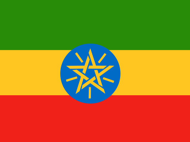 EthiopiaAddis Ababa
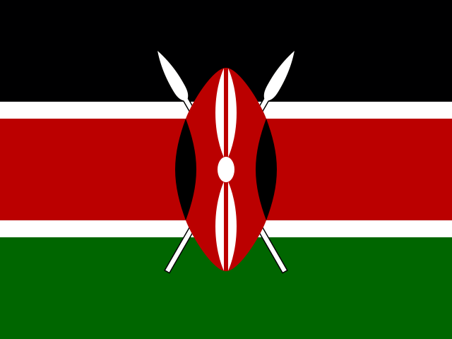 KenyaNairobi
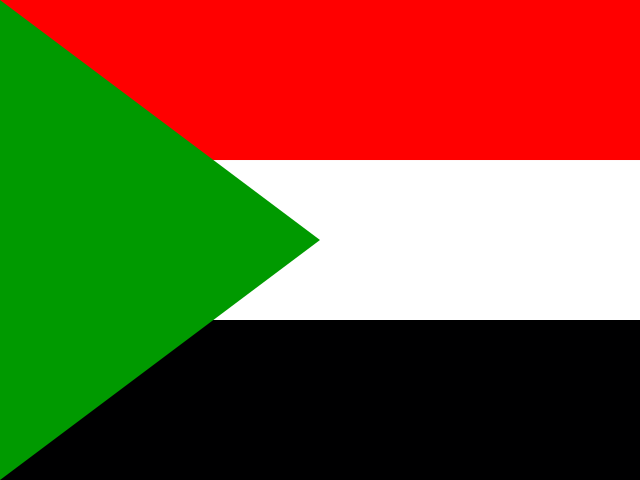 SudanKhartoum
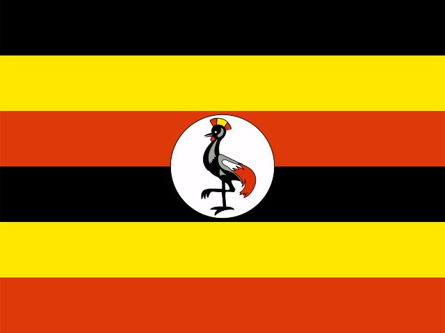 UgandaKampala
From the Geography app
The app teaches each country through short hand written lenses: PLACE for physical geography, STORY for history and identity, NOW for the news, and THREAD for the ties between countries. Here is one of South Sudan's 5, in full.
What landscape defines the world's youngest nation?
South Sudan, which gained independence in 2011, is dominated by the vast floodplain of the White Nile and its tributaries. At the country's heart lies the Sudd, one of the world's largest freshwater wetlands, which swells during the rainy season to cover an area the size of England. The Imatong Mountains along the Ugandan border reach 3,187 meters at Mount Kinyeti, the country's highest point. Seasonal flooding renders much of the road network impassable for months, isolating communities and complicating governance.
More on Sudd
Derived from the Arabic word for "barrier," the Sudd is a labyrinth of papyrus, water hyacinth, and floating vegetation that blocked Nile navigation for centuries. It supports massive wildlife migrations, including the white-eared kob, tiang antelope, and Mongalla gazelle.
4 more lenses on South Sudan in the app
Titles only. The app brings each lens back on a spaced repetition schedule set by how well you knew it: New, Hazy or Clear.
Compare South Sudan with another country
Opens the country comparison tool with population, area, income and more side by side, every figure dated.