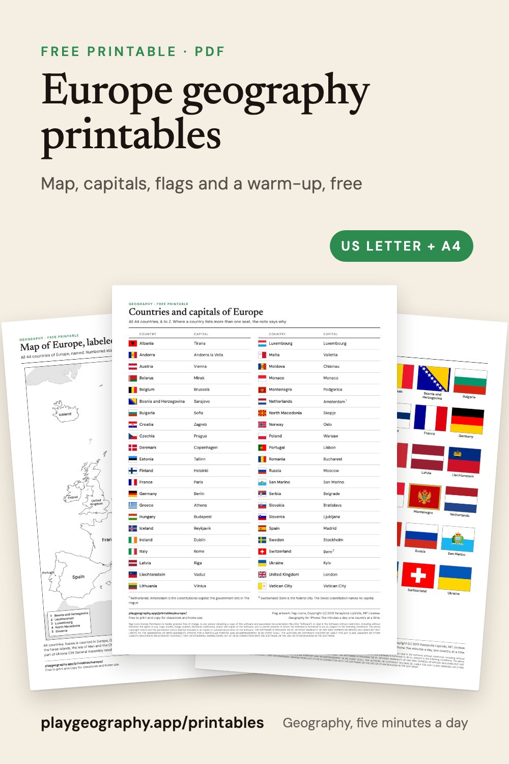
Maps
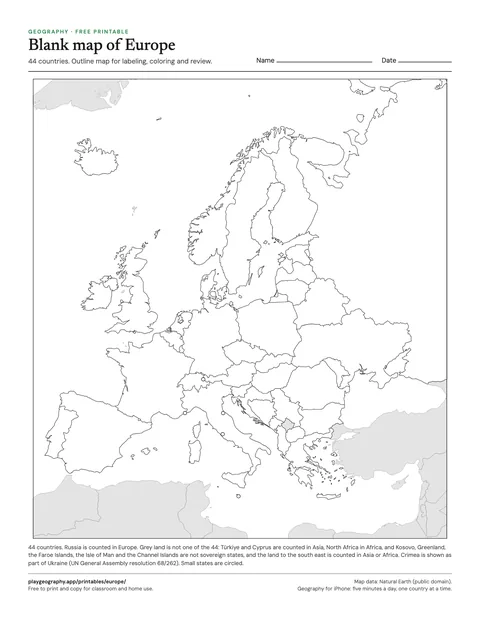
Blank map of Europe
Outline map of all 44 countries of Europe, no labels. For labeling, coloring and review.
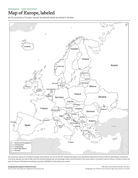
Map of Europe, labeled
Every country of Europe named on the map. Use it as the answer key for the blank map.
Countries and capitals
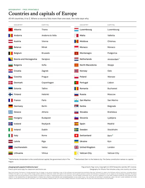
Countries and capitals of Europe
All 44 countries of Europe with their capitals and flags, A to Z, on one page.
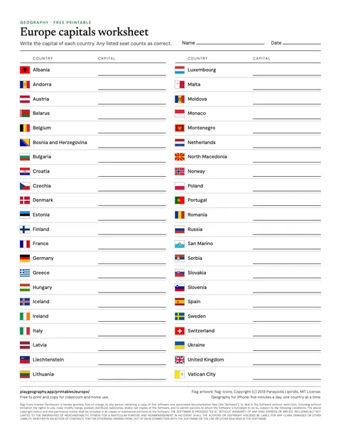
Europe capitals worksheet
Write the capital of each of the 44 countries. Page two is the answer key.
Flags
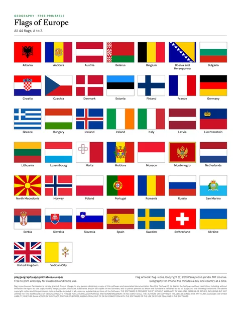
Flags of Europe
All 44 flags of Europe, named, in alphabetical order.
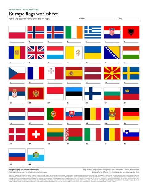
Europe flags worksheet
Name all 44 flags, in shuffled order. Page two is the answer key.
Five minute warm-up
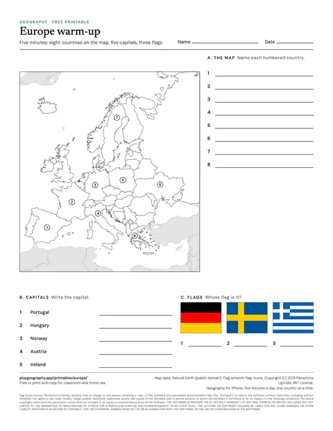
Europe five minute warm-up
Eight countries to find, five capitals and three flags. Page two is the answer key.
How the sheets count Europe
Every sheet in this pack counts 44 countries in Europe, read from the same list as the rest of playgeography.app: the 193 UN member states and two observer states, each filed under one continent by the UN geoscheme. Russia is counted in Europe. Türkiye, Cyprus, Georgia, Armenia, Azerbaijan and Kazakhstan are counted in Asia, which is why published counts for Europe run from 44 to about 50. Kosovo is drawn but not counted, and Crimea is drawn as part of Ukraine. How many countries are in Europe? goes through the count in full.
A simple plan for a unit
- Start with the warm-up, without notes, to see what the class already knows.
- Work through the labeled map together, then hand out the blank map to fill in.
- Use the countries and capitals sheet as the reference for the week.
- Finish with the capitals and flag worksheets, and mark them with the answer keys.