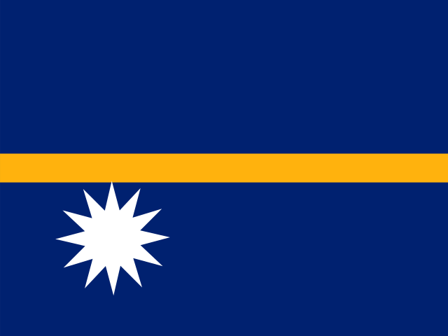
20 km² (7.72 sq mi) World Bank, surface area. 193rd largest of 195.
Population density
601 people per km²
Land neighbours
None. It has no land borders with another country.
Official name
Republic of Nauru
UN status
Member state
Capital coordinates
0.55° S, 166.92° E Yaren, Natural Earth.
No land borders
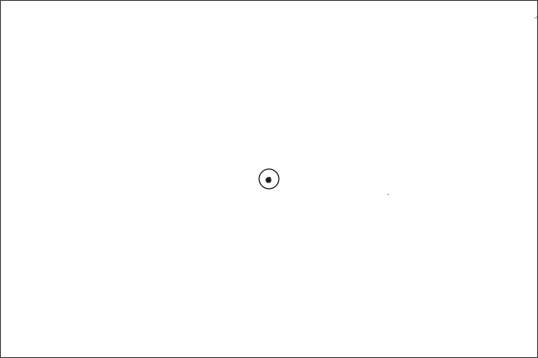
Nauru shares no land border with another country. Its nearest neighbours are across the sea, as the map above shows.
From the Geography app
The app teaches each country through short hand written lenses: PLACE for physical geography, STORY for history and identity, NOW for the news, and THREAD for the ties between countries. Here is one of Nauru's 7, in full.
PLACELens 1 of 7
The third-smallest country on Earth
Nauru is a single raised coral island of just 21 square kilometers in the central Pacific, making it the third-smallest country by area after Vatican City and Monaco. It has no rivers, no harbor, and no capital city in the formal sense; government offices are in the Yaren district. A narrow fertile coastal strip rings a barren, mined-out limestone plateau that covers 80 percent of the interior.
More on mined-out limestone plateau
Decades of phosphate mining stripped the island's interior down to jagged coral pinnacles, leaving a lunar landscape that supports almost no vegetation. Rehabilitation efforts have made limited progress, and Nauru must import nearly all its food.
6 more lenses on Nauru in the app
STORY From richest per capita to near collapse
NOW Australia's offshore detention island
STORY A nation searching for a second act
THREAD Diplomatic recognition as a revenue source
NOW After the phosphate, Nauru looks to the seabed
THREAD One rock fed the world and ate an island
Titles only. The app brings each lens back on a spaced repetition schedule set by how well you knew it: New, Hazy or Clear.
Compare Nauru with another country
Opens the country comparison tool with population, area, income and more side by side, every figure dated.
Common questions
What is the capital of Nauru?
The capital of Nauru is Yaren. Yaren lies at about 0.5 degrees south and 166.9 degrees east. Nauru is in Oceania. It is home to about 12,000 people. The world capitals quiz on this site tests every capital, and the printable capitals sheets cover each continent.
What is the population of Nauru?
About 12,000 people live in Nauru, according to the World Bank figures for 2025. That makes it the 193rd most populous of the 195 countries. With an area of 20 square kilometres, that is about 601 people per square kilometre.
What countries border Nauru?
None. Nauru has no land borders with any other country. It is surrounded by sea, so every neighbour of Nauru is across the water. It lies in Oceania. Its area is 20 square kilometres, and about 12,000 people live there.
How big is Nauru?
Nauru covers 20 square kilometres, or about 7.72 square miles. That makes it the 193rd largest of the 195 countries. The figure is total surface area, which includes inland water such as lakes and rivers. Its population of about 12,000 gives a density of 601 people per square kilometre.
Nauru is a country in Oceania, with about 12,000 people (2025) and an area of 20 square kilometres. Its capital is Yaren, and it has no land borders.
Capital
Yaren
Continent
Oceania
Population
12,025 2025, World Bank. 193rd of 195.
Area
20 km² (7.72 sq mi) World Bank, surface area. 193rd largest of 195.
Population density
601 people per km²
Land neighbours
None. It has no land borders with another country.
Official name
Republic of Nauru
UN status
Member state
PLACE · from the Geography app
The third-smallest country on Earth
Nauru is a single raised coral island of just 21 square kilometers in the central Pacific, making it the third-smallest country by area after Vatican City and Monaco. It has no rivers, no harbor, and no capital city in the formal sense; government offices are in the Yaren district. A narrow fertile coastal strip rings a barren, mined-out limestone plateau that covers 80 percent of the interior.
Keep going on your iPhone. Scan for Geography: the world, one country at a time, about five minutes a day. No quizzes and no streaks. playgeography.app/countries/nauru/ · Map data: Natural Earth. Figures: World Bank and national sources, as listed on the page.
Geography · Country report
Nauru
NameDate
Draw the flag
Colour Nauru on the map, then fill in what you find.
Capital
Continent
Population
Area
Languages
Currency
Neighbours
Landmarks
Rivers or mountains
Three things I learned
1
2
3
One question I still have
?
Keep going on your iPhone. Scan for Geography: the world, one country at a time, about five minutes a day. No quizzes and no streaks. playgeography.app/countries/nauru/ · Map data: Natural Earth. Figures: World Bank and national sources, as listed on the page.