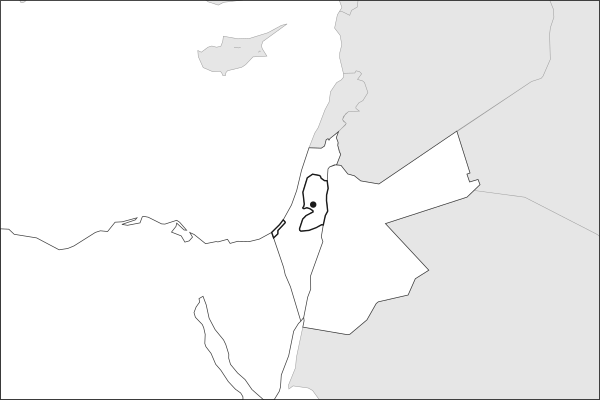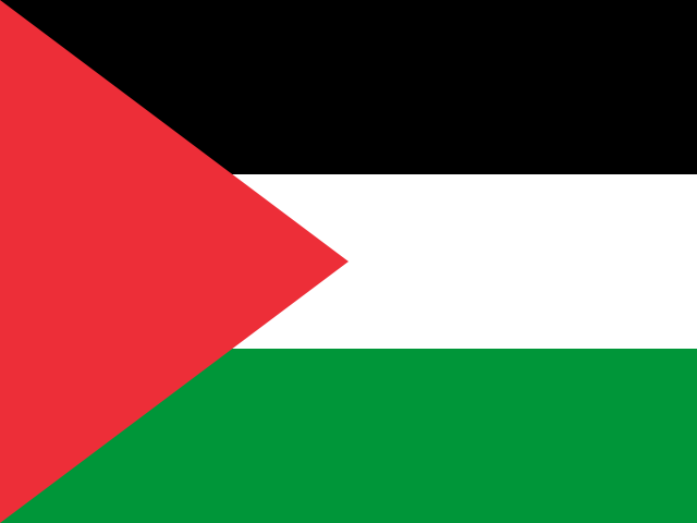
Key facts about Palestine
| Capital | RamallahCapital status is disputed. Ramallah is the administrative seat; Palestine claims East Jerusalem as its capital. |
|---|---|
| Continent | Asia |
| Region | Middle East |
| Population | 5,413,596 2025, World Bank. 122nd of 195. |
| Area | 6,025 km² (2,326 sq mi) World Bank, surface area. 163rd largest of 195. |
| Population density | 899 people per km² |
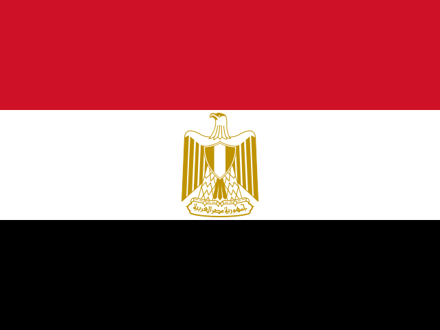
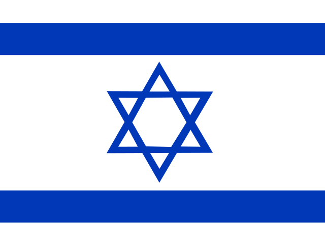
| Land neighbours | 3: Egypt, Israel, JordanEgypt borders a part of Palestine away from its main territory. |
| Official name | State of Palestine |
| UN status | Non-member observer state |
| Capital coordinates | 31.90° N, 35.21° E Ramallah, Natural Earth. |
Land neighbours
Palestine borders 3 countries on land. Each links to its own page.
From the Geography app
The app teaches each country through short hand written lenses: PLACE for physical geography, STORY for history and identity, NOW for the news, and THREAD for the ties between countries. Here is one of Palestine's 5, in full.
Two territories separated by another country
The Palestinian territories consist of two non-contiguous areas: the West Bank, a hilly region of roughly 5,860 square kilometers east of Israel, and the Gaza Strip, a narrow coastal enclave of 365 square kilometers on the Mediterranean. The two are separated by about 40 kilometers of Israeli territory, with no direct land connection between them. This geographic fragmentation shapes every aspect of Palestinian governance, economy, and daily life.
More on Gaza Strip
One of the most densely populated areas on Earth, the Gaza Strip is home to roughly 2.3 million people in a territory only 41 kilometers long and 6 to 12 kilometers wide. Its borders with Israel and Egypt have been tightly controlled since Hamas took power in 2007.
4 more lenses on Palestine in the app
Titles only. The app brings each lens back on a spaced repetition schedule set by how well you knew it: New, Hazy or Clear.
Compare Palestine with another country
Opens the country comparison tool with population, area, income and more side by side, every figure dated.