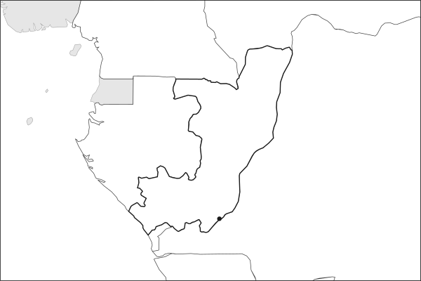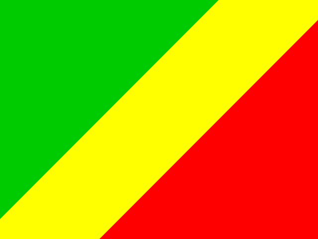
Key facts about the Republic of the Congo
| Capital | Brazzaville |
|---|---|
| Continent | Africa |
| Population | 6,484,437 2025, World Bank. 109th of 195. |
| Area | 342,000 km² (132,047 sq mi) World Bank, surface area. 64th largest of 195. |
| Population density | 19 people per km² |
| Land neighbours | 5: Angola, Cameroon, Central African Republic, Democratic Republic of the Congo, Gabon |
| Official name | Congo Republic |
| UN status | Member state |
| Capital coordinates | 4.26° S, 15.28° E Brazzaville, Natural Earth. |
Land neighbours
The Republic of the Congo borders 5 countries on land. Each links to its own page.
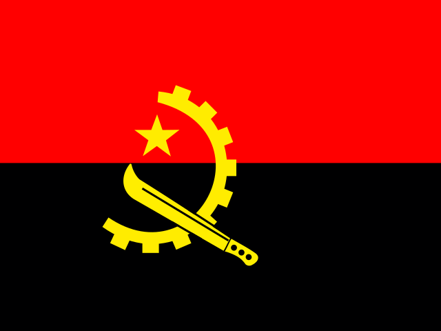 AngolaLuanda
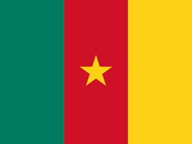 CameroonYaounde
 Central African RepublicBangui
 Democratic Republic of the CongoKinshasa
 GabonLibreville
From the Geography app
The app teaches each country through short hand written lenses: PLACE for physical geography, STORY for history and identity, NOW for the news, and THREAD for the ties between countries. Here is one of the Republic of the Congo's 6, in full.
Two capitals facing each other across one river
Brazzaville sits on the north bank of the Congo River where it widens into Pool Malebo, four kilometers of brown water from Kinshasa. No other national capitals grew within sight of each other across a river, and only Rome and Vatican City sit closer together. There is still no bridge. Ferries and private speedboats carry everything between them, and a road-rail crossing of 1,575 meters, agreed in 2018, has yet to break ground. Kinshasa holds roughly eighteen million people, Brazzaville about two.
More on Pool Malebo
Pool Malebo is a lake-like widening of the Congo River, roughly thirty five kilometers long. It marks the end of navigation: below it the Livingstone Falls break the river into some three hundred kilometers of rapids before the Atlantic. That barrier explains both capitals. Cargo from the interior must leave the water here and continue overland, which is what the railway and the roads were built to do.
5 more lenses on the Republic of the Congo in the app
Titles only. The app brings each lens back on a spaced repetition schedule set by how well you knew it: New, Hazy or Clear.
Compare the Republic of the Congo with another country
Opens the country comparison tool with population, area, income and more side by side, every figure dated.