The United States is a country in North America, with about 341.8 million people (2025) and an area of 9,831,510 square kilometres. Its capital is Washington, D.C., and it shares land borders with 2 countries.
By Team Geography·Last reviewed
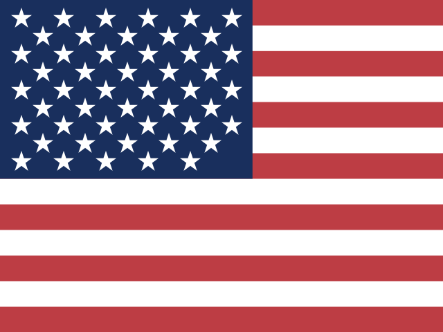
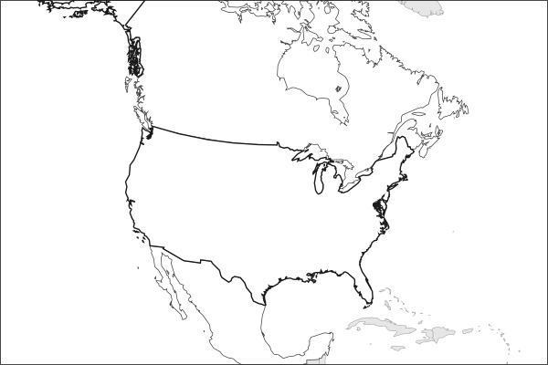
Flag of the United StatesThe United States in solid, land neighbours outlined, capital marked.
The app teaches each country through short hand written lenses: PLACE for physical geography, STORY for history and identity, NOW for the news, and THREAD for the ties between countries. Here is one of the United States's 17, in full.
PLACELens 1 of 17
Geography gave the US advantages most countries cannot replicate
The United States spans a continent with ocean buffers on two sides, navigable rivers that reduce transport costs, deep-water ports on three coasts, and vast agricultural land in the interior. The Mississippi River system alone drains 40% of the continental US and historically made American grain cheaper to ship than almost any competitor's. Few countries have been dealt a geographic hand this favorable.
More on Mississippi River system
The Mississippi and its tributaries form the largest navigable river system in the world, over 25,000 km of commercially usable waterway. It was the economic backbone of American expansion westward.
16 more lenses on the United States in the app
STORY A nation of immigrants that periodically debates who belongs
NOW A trade war ended in the Supreme Court
THREAD The US alliance network is the largest security architecture in history
PLACE A tournament that fills a continent
STORY The Miracle on Grass at Belo Horizonte
NOW A European-trained generation came home to play
THREAD Sharing a World Cup with the neighbors
PLACE The meadowlands where the final was decided
STORY When the women led the way
NOW The league that the 1994 World Cup built
THREAD The Gold Cup and the regional ladder
PLACE The dry line that runs through the plains
STORY The land grant that built American research
NOW Electricity demand returns after twenty flat years
THREAD A chip is a chain of countries
PLACE The republic's largest territory is under water
Titles only. The app brings each lens back on a spaced repetition schedule set by how well you knew it: New, Hazy or Clear.
Compare the United States with another country
Opens the country comparison tool with population, area, income and more side by side, every figure dated.
Common questions
What is the capital of the United States?
The capital of the United States is Washington, D.C.. Washington, D.C. lies at about 38.9 degrees north and 77.0 degrees west. The United States is in North America. It is home to about 341.8 million people. The world capitals quiz on this site tests every capital, and the printable capitals sheets cover each continent.
What is the population of the United States?
About 341.8 million people live in the United States, according to the World Bank figures for 2025. That makes it the 3rd most populous of the 195 countries. With an area of 9,831,510 square kilometres, that is about 35 people per square kilometre.
What countries border the United States?
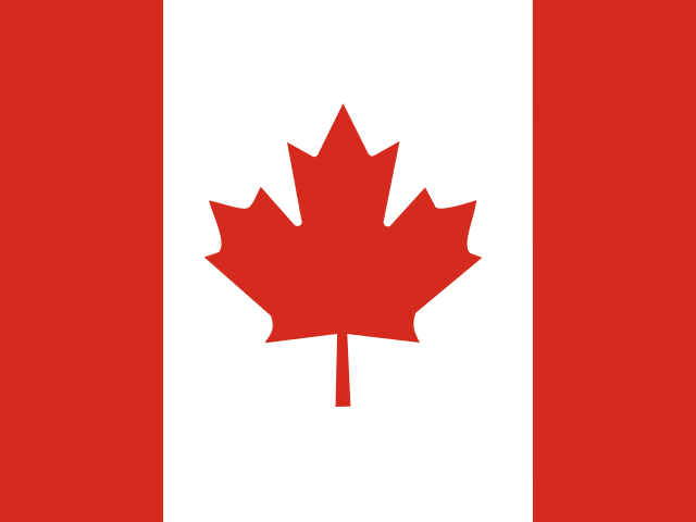
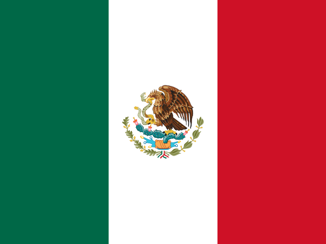
The United States shares land borders with 2 countries: Canada and Mexico. The map on this page outlines each of them around the United States. The count includes only borders on land, not neighbours across a sea or a lake.
How big is the United States?
The United States covers 9,831,510 square kilometres, or about 3,795,966 square miles. That makes it the 3rd largest of the 195 countries. The figure is total surface area, which includes inland water such as lakes and rivers. Its population of about 341.8 million gives a density of 35 people per square kilometre.
The United States is a country in North America, with about 341.8 million people (2025) and an area of 9,831,510 square kilometres. Its capital is Washington, D.C., and it shares land borders with 2 countries.
Capital
Washington, D.C.
Continent
North America
Population
341,784,857 2025, World Bank. 3rd of 195.
Area
9,831,510 km² (3,795,966 sq mi) World Bank, surface area. 3rd largest of 195.
Population density
35 people per km²
Land neighbours
2: Canada, Mexico
Official name
United States of America
UN status
Member state
PLACE · from the Geography app
Geography gave the US advantages most countries cannot replicate
The United States spans a continent with ocean buffers on two sides, navigable rivers that reduce transport costs, deep-water ports on three coasts, and vast agricultural land in the interior. The Mississippi River system alone drains 40% of the continental US and historically made American grain cheaper to ship than almost any competitor's. Few countries have been dealt a geographic hand this favorable.
Keep going on your iPhone. Scan for Geography: the world, one country at a time, about five minutes a day. No quizzes and no streaks. playgeography.app/countries/united-states/ · Map data: Natural Earth. Figures: World Bank and national sources, as listed on the page.
Geography · Country report
United States
NameDate
Draw the flag
Colour the United States on the map, then fill in what you find.
Capital
Continent
Population
Area
Languages
Currency
Neighbours
Landmarks
Rivers or mountains
Three things I learned
1
2
3
One question I still have
?
Keep going on your iPhone. Scan for Geography: the world, one country at a time, about five minutes a day. No quizzes and no streaks. playgeography.app/countries/united-states/ · Map data: Natural Earth. Figures: World Bank and national sources, as listed on the page.