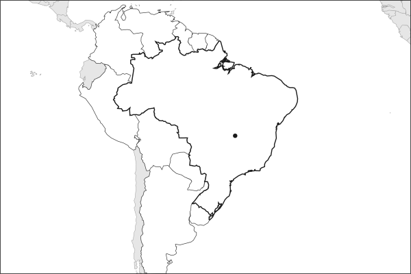
Brazil is a country in South America, with about 212.8 million people (2025) and an area of 8,510,420 square kilometres. Its capital is Brasilia, and it shares land borders with 10 countries.
By Team Geography·Last reviewed
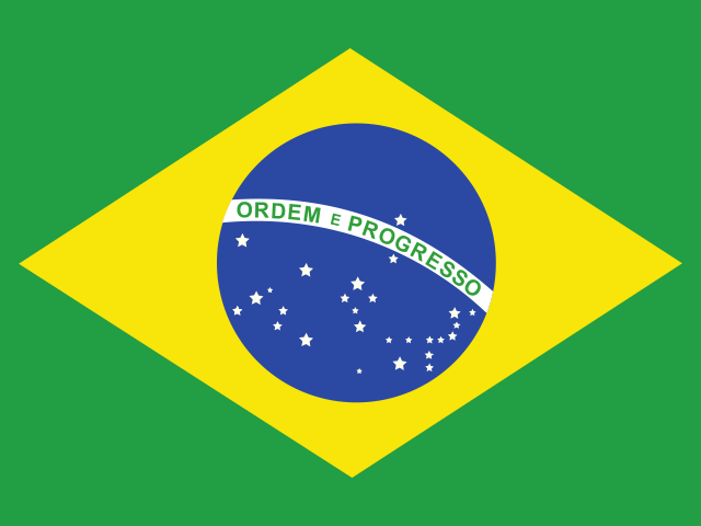
Flag of BrazilBrazil in solid, land neighbours outlined, capital marked.
The app teaches each country through short hand written lenses: PLACE for physical geography, STORY for history and identity, NOW for the news, and THREAD for the ties between countries. Here is one of Brazil's 17, in full.
PLACELens 1 of 17
A wall of mountains behind the beach
Behind Brazil's southeastern coast the land rises abruptly: the Serra do Mar climbs from sea level to around 800 meters in a few kilometers, and Sao Paulo sits on the plateau above it. Rivers on that plateau run the wrong way. The Tiete rises twenty kilometers from the Atlantic, then turns inland and crosses the city heading west, reaching the ocean only by way of the Parana. For two centuries the escarpment held colonists to a narrow coastal strip.
More on Serra do Mar
Coffee solved the problem in 1867, when British engineers opened the Sao Paulo Railway and dropped wagons down the escarpment on cable-hauled inclines, turning Santos into the port through which most of the world's coffee passed. Before that, goods went up and down on mule trains along a colonial road, and the interior was reached mainly by river.
16 more lenses on Brazil in the app
PLACE Placing Brazil
PLACE Coast versus interior
STORY A Portuguese giant in a Spanish continent
NOW Why Brazil keeps returning to the global conversation
THREAD Brazil in the diplomatic middle
STORY Brazil urbanized fast and unevenly
NOW The world's farm and its rain forest are the same country
PLACE A continent-sized country and one shrine
STORY The only five-time champion of the world
NOW The unbroken streak and the early exit
THREAD The wound that binds Brazil and Uruguay
PLACE From a favela court to a European stadium
STORY A yellow shirt that turned political
NOW A foreign coach for a proud tradition
THREAD The talent road that runs to Europe
THREAD A dam that two countries must share
Titles only. The app brings each lens back on a spaced repetition schedule set by how well you knew it: New, Hazy or Clear.
Compare Brazil with another country
Opens the country comparison tool with population, area, income and more side by side, every figure dated.
Common questions
What is the capital of Brazil?
The capital of Brazil is Brasilia. Brasilia lies at about 15.8 degrees south and 47.9 degrees west. Brazil is in South America. It is home to about 212.8 million people. The world capitals quiz on this site tests every capital, and the printable capitals sheets cover each continent.
What is the population of Brazil?
About 212.8 million people live in Brazil, according to the World Bank figures for 2025. That makes it the 7th most populous of the 195 countries. With an area of 8,510,420 square kilometres, that is about 25 people per square kilometre.
What countries border Brazil?
Brazil shares land borders with 10 countries: Argentina, Bolivia, Colombia, France, Guyana, Paraguay, Peru, Suriname, Uruguay and Venezuela. The map on this page outlines each of them around Brazil. The count includes only borders on land, not neighbours across a sea or a lake.
How big is Brazil?
Brazil covers 8,510,420 square kilometres, or about 3,285,890 square miles. That makes it the 5th largest of the 195 countries. The figure is total surface area, which includes inland water such as lakes and rivers. Its population of about 212.8 million gives a density of 25 people per square kilometre.
Brazil is a country in South America, with about 212.8 million people (2025) and an area of 8,510,420 square kilometres. Its capital is Brasilia, and it shares land borders with 10 countries.
Capital
Brasilia
Continent
South America
Population
212,812,405 2025, World Bank. 7th of 195.
Area
8,510,420 km² (3,285,890 sq mi) World Bank, surface area. 5th largest of 195.
Population density
25 people per km²
Land neighbours
10: Argentina, Bolivia, Colombia, France, Guyana, Paraguay, Peru, Suriname, Uruguay, Venezuela
Official name
Federative Republic of Brazil
UN status
Member state
PLACE · from the Geography app
A wall of mountains behind the beach
Behind Brazil's southeastern coast the land rises abruptly: the Serra do Mar climbs from sea level to around 800 meters in a few kilometers, and Sao Paulo sits on the plateau above it. Rivers on that plateau run the wrong way. The Tiete rises twenty kilometers from the Atlantic, then turns inland and crosses the city heading west, reaching the ocean only by way of the Parana. For two centuries the escarpment held colonists to a narrow coastal strip.
Keep going on your iPhone. Scan for Geography: the world, one country at a time, about five minutes a day. No quizzes and no streaks. playgeography.app/countries/brazil/ · Map data: Natural Earth. Figures: World Bank and national sources, as listed on the page.
Geography · Country report
Brazil
NameDate
Draw the flag
Colour Brazil on the map, then fill in what you find.
Capital
Continent
Population
Area
Languages
Currency
Neighbours
Landmarks
Rivers or mountains
Three things I learned
1
2
3
One question I still have
?
Keep going on your iPhone. Scan for Geography: the world, one country at a time, about five minutes a day. No quizzes and no streaks. playgeography.app/countries/brazil/ · Map data: Natural Earth. Figures: World Bank and national sources, as listed on the page.
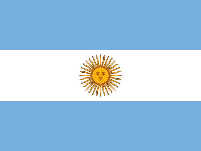 ArgentinaBuenos Aires
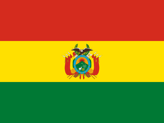 BoliviaSucre and La Paz
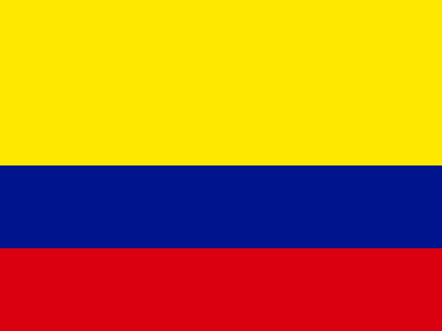 ColombiaBogota
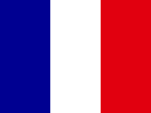 FranceParis
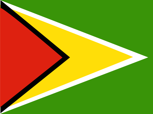 GuyanaGeorgetown
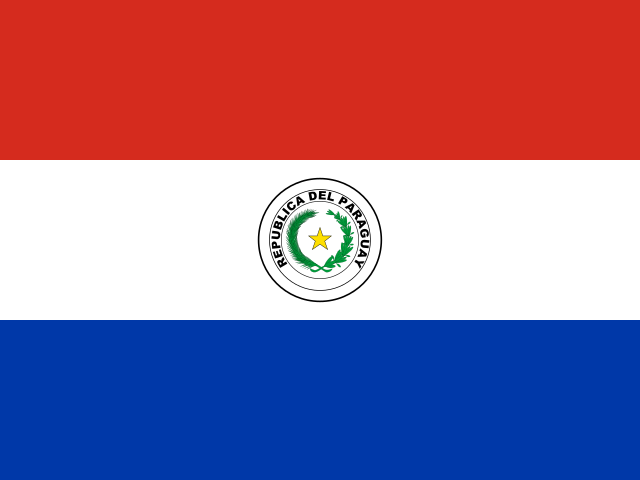 ParaguayAsuncion
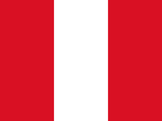 PeruLima
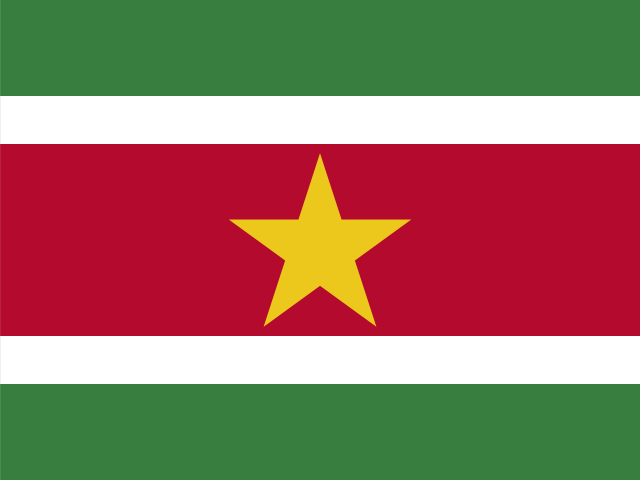 SurinameParamaribo
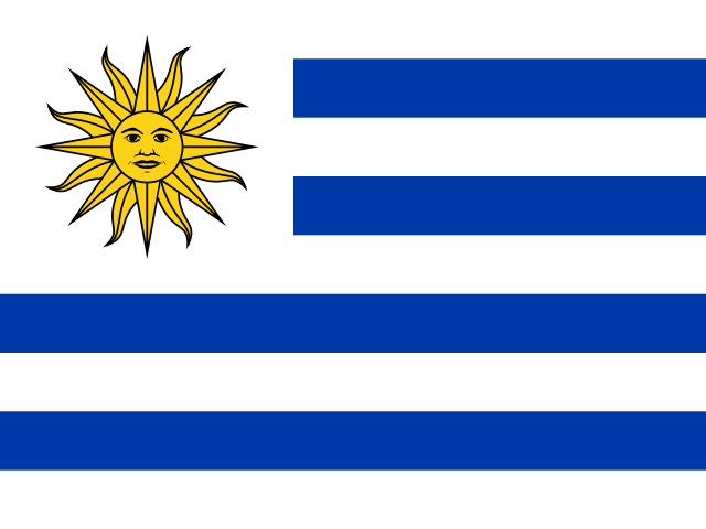 UruguayMontevideo
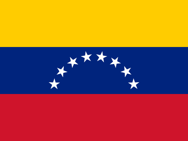 VenezuelaCaracas