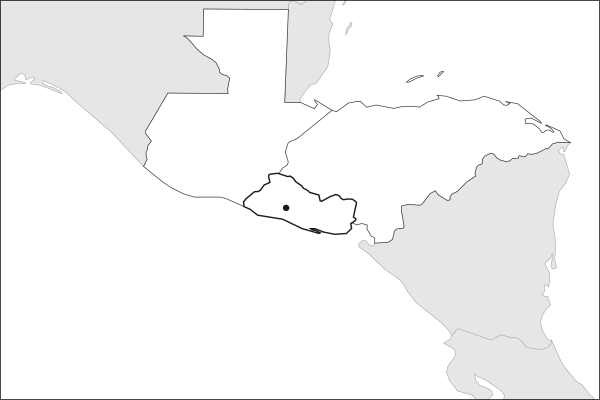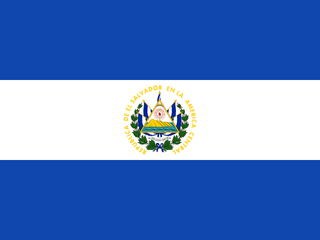
Key facts about El Salvador
| Capital | San Salvador |
|---|---|
| Continent | North America |
| Region | Central America and the Caribbean |
| Population | 6,365,503 2025, World Bank. 111th of 195. |
| Area | 21,040 km² (8,124 sq mi) World Bank, surface area. 149th largest of 195. |
| Population density | 303 people per km² |
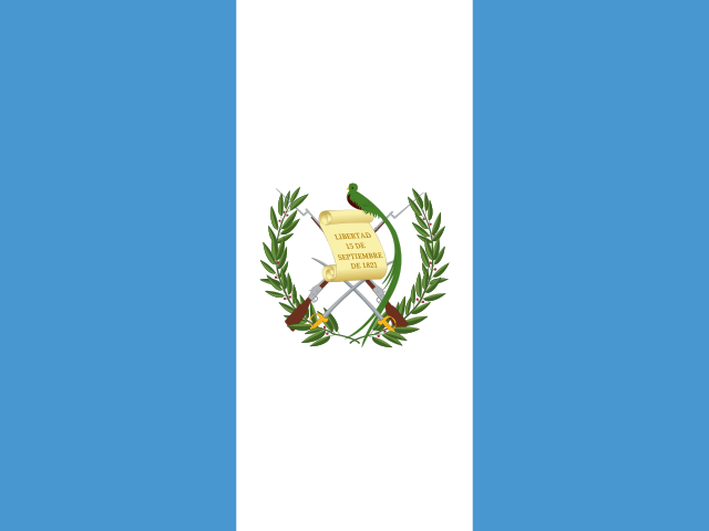
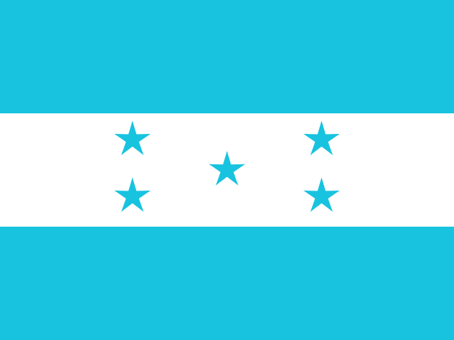
| Land neighbours | 2: Guatemala, Honduras |
| Official name | Republic of El Salvador |
| UN status | Member state |
| Capital coordinates | 13.71° N, 89.20° W San Salvador, Natural Earth. |
Land neighbours
El Salvador borders 2 countries on land. Each links to its own page.
From the Geography app
The app teaches each country through short hand written lenses: PLACE for physical geography, STORY for history and identity, NOW for the news, and THREAD for the ties between countries. Here is one of El Salvador's 5, in full.
The smallest and most densely packed country in Central America
El Salvador covers just 21,041 square kilometers, smaller than New Jersey, yet holds over 6.3 million people, making it the most densely populated country on the mainland Americas. It is the only Central American nation without a Caribbean coast; its entire shoreline faces the Pacific. A chain of more than 20 volcanoes runs parallel to the coast, and the volcanic soil supports intensive coffee cultivation in the highlands.
More on most densely populated
At roughly 300 people per square kilometer, El Salvador's density surpasses every mainland country in the Western Hemisphere. That pressure on land has driven both internal conflict over resources and external migration to the United States.
4 more lenses on El Salvador in the app
Titles only. The app brings each lens back on a spaced repetition schedule set by how well you knew it: New, Hazy or Clear.
Compare El Salvador with another country
Opens the country comparison tool with population, area, income and more side by side, every figure dated.