Honduras is a country in North America, in Central America and the Caribbean, with about 11 million people (2025) and an area of 112,490 square kilometres. Its capital is Tegucigalpa, and it shares land borders with 3 countries.
By Team Geography·Last reviewed
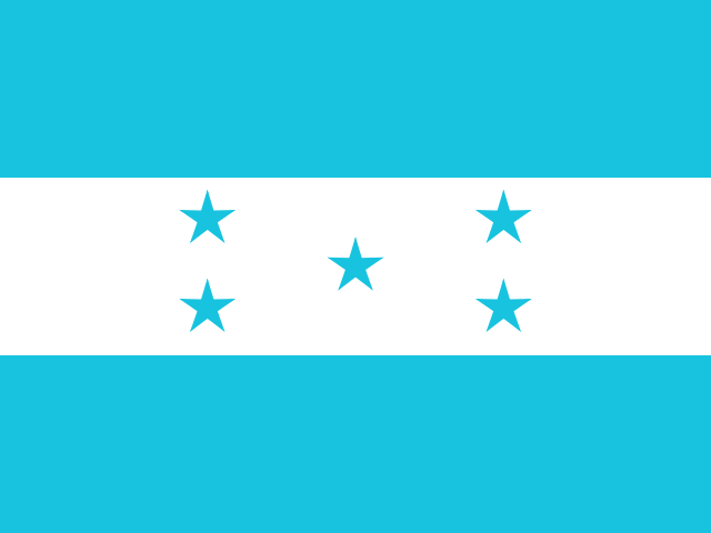
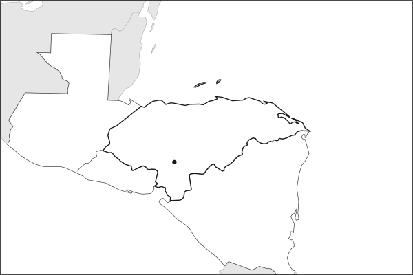
Flag of HondurasHonduras in solid, land neighbours outlined, capital marked.
The app teaches each country through short hand written lenses: PLACE for physical geography, STORY for history and identity, NOW for the news, and THREAD for the ties between countries. Here is one of Honduras's 5, in full.
PLACELens 1 of 5
Mountains, two coastlines, and the original banana republic
Honduras stretches across 112,492 square kilometers of predominantly mountainous terrain, with coastlines on both the Caribbean Sea and the Pacific Ocean via the Gulf of Fonseca. Over 80% of the country is mountainous, leaving flat agricultural land scarce. The fertile northern Caribbean lowlands became the site of massive banana plantations in the early 20th century, giving rise to the term banana republic to describe countries dominated by foreign fruit companies and compliant governments.
More on banana republic
The term was coined by American writer O. Henry in 1904, inspired by Honduras. United Fruit Company and Standard Fruit controlled vast tracts of land, operated their own railroads and ports, and exercised decisive influence over Honduran politics for decades.
4 more lenses on Honduras in the app
STORY Copan and a Maya heritage that predates modern borders
NOW The 2009 coup and its long aftermath
NOW Climate vulnerability in the Dry Corridor
THREAD Caught between American foreign policy and domestic dysfunction
Titles only. The app brings each lens back on a spaced repetition schedule set by how well you knew it: New, Hazy or Clear.
Compare Honduras with another country
Opens the country comparison tool with population, area, income and more side by side, every figure dated.
Common questions
What is the capital of Honduras?
The capital of Honduras is Tegucigalpa. Tegucigalpa lies at about 14.1 degrees north and 87.2 degrees west. Honduras is in North America, in the region often called Central America and the Caribbean. It is home to about 11 million people.
What is the population of Honduras?
About 11 million people live in Honduras, according to the World Bank figures for 2025. That makes it the 86th most populous of the 195 countries. With an area of 112,490 square kilometres, that is about 98 people per square kilometre.
What countries border Honduras?
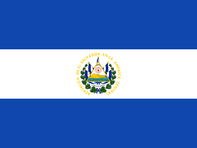
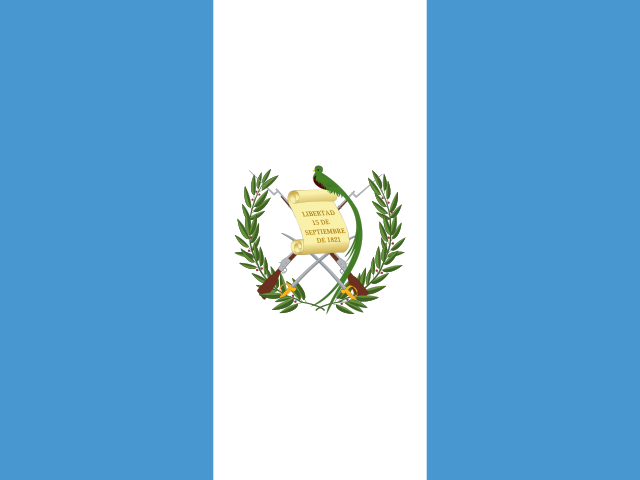
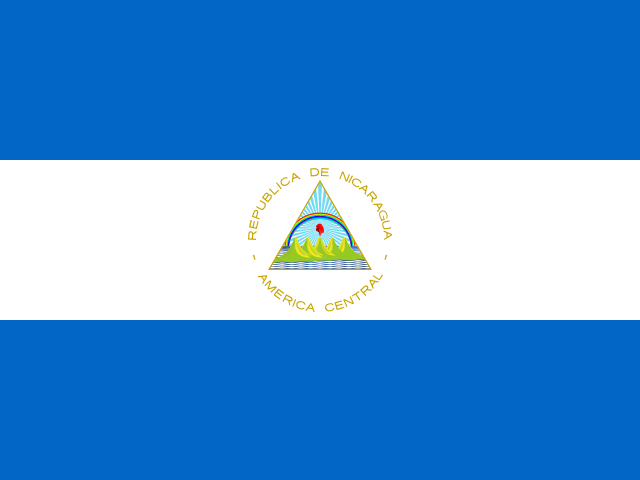
Honduras shares land borders with 3 countries: El Salvador, Guatemala and Nicaragua. The map on this page outlines each of them around Honduras. The count includes only borders on land, not neighbours across a sea or a lake. Borders here follow Natural Earth at the 1:50 million scale, with Crimea shown as part of Ukraine and Western Sahara as a separate territory.
How big is Honduras?
Honduras covers 112,490 square kilometres, or about 43,433 square miles. That makes it the 102nd largest of the 195 countries. The figure is total surface area, which includes inland water such as lakes and rivers. Its population of about 11 million gives a density of 98 people per square kilometre.
Honduras is a country in North America, in Central America and the Caribbean, with about 11 million people (2025) and an area of 112,490 square kilometres. Its capital is Tegucigalpa, and it shares land borders with 3 countries.
Capital
Tegucigalpa
Continent
North America
Region
Central America and the Caribbean
Population
11,005,850 2025, World Bank. 86th of 195.
Area
112,490 km² (43,433 sq mi) World Bank, surface area. 102nd largest of 195.
Population density
98 people per km²
Land neighbours
3: El Salvador, Guatemala, Nicaragua
Official name
Republic of Honduras
UN status
Member state
PLACE · from the Geography app
Mountains, two coastlines, and the original banana republic
Honduras stretches across 112,492 square kilometers of predominantly mountainous terrain, with coastlines on both the Caribbean Sea and the Pacific Ocean via the Gulf of Fonseca. Over 80% of the country is mountainous, leaving flat agricultural land scarce. The fertile northern Caribbean lowlands became the site of massive banana plantations in the early 20th century, giving rise to the term banana republic to describe countries dominated by foreign fruit companies and compliant governments.
Keep going on your iPhone. Scan for Geography: the world, one country at a time, about five minutes a day. No quizzes and no streaks. playgeography.app/countries/honduras/ · Map data: Natural Earth. Figures: World Bank and national sources, as listed on the page.
Geography · Country report
Honduras
NameDate
Draw the flag
Colour Honduras on the map, then fill in what you find.
Capital
Continent
Population
Area
Languages
Currency
Neighbours
Landmarks
Rivers or mountains
Three things I learned
1
2
3
One question I still have
?
Keep going on your iPhone. Scan for Geography: the world, one country at a time, about five minutes a day. No quizzes and no streaks. playgeography.app/countries/honduras/ · Map data: Natural Earth. Figures: World Bank and national sources, as listed on the page.