Indonesia is a country in Asia, in Southeast Asia, with about 285.7 million people (2025) and an area of 1,916,907 square kilometres. Its capital is Jakarta, and it shares land borders with 3 countries.
By Team Geography·Last reviewed
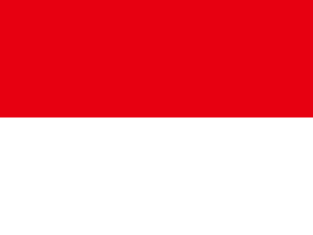
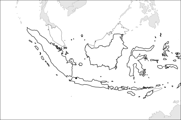
Flag of IndonesiaIndonesia in solid, land neighbours outlined, capital marked.
The app teaches each country through short hand written lenses: PLACE for physical geography, STORY for history and identity, NOW for the news, and THREAD for the ties between countries. Here is one of Indonesia's 10, in full.
PLACELens 1 of 10
The archipelago that once cooled the whole planet
Two great plates grind together beneath the archipelago, lifting roughly 127 active volcanoes, more than any other country. Tambora erupted in 1815 with such force that ash dimmed the sun worldwide and Europe lost its summer the following year; Krakatoa's 1883 detonation was audible 4,800 kilometers away near Mauritius. The same violence rebuilds the land it destroys, since volcanic ash weathers into the mineral-rich soil that lets Java feed a population most islands its size could not.
More on Tambora
Tambora ejected about 160 cubic kilometers of rock and killed more than 71,000 people, the deadliest eruption in recorded history. Its sulfate veil cut global temperatures by roughly half a degree Celsius, wrecking harvests from New England to Yunnan. Mary Shelley drafted Frankenstein indoors during that sunless summer beside Lake Geneva.
9 more lenses on Indonesia in the app
PLACE Indonesia is the geography lesson most maps fail to teach
STORY A giant Muslim-majority democracy
NOW Nickel, batteries, and the energy transition
THREAD Indonesia is ASEAN's indispensable anchor
NOW Palm oil made Indonesia wealthy and controversial
STORY Pancasila is Indonesia's answer to its own diversity
PLACE The island holding more than half a nation
THREAD The country that rewrote the law of the sea
STORY A national language almost nobody spoke at home
Titles only. The app brings each lens back on a spaced repetition schedule set by how well you knew it: New, Hazy or Clear.
Compare Indonesia with another country
Opens the country comparison tool with population, area, income and more side by side, every figure dated.
Common questions
What is the capital of Indonesia?
The capital of Indonesia is Jakarta. Jakarta lies at about 6.2 degrees south and 106.8 degrees east. Indonesia is in Asia, in the region often called Southeast Asia. It is home to about 285.7 million people. The world capitals quiz on this site tests every capital, and the printable capitals sheets cover each continent.
What is the population of Indonesia?
About 285.7 million people live in Indonesia, according to the World Bank figures for 2025. That makes it the 4th most populous of the 195 countries. With an area of 1,916,907 square kilometres, that is about 149 people per square kilometre.
What countries border Indonesia?
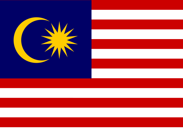
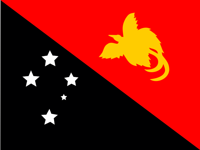
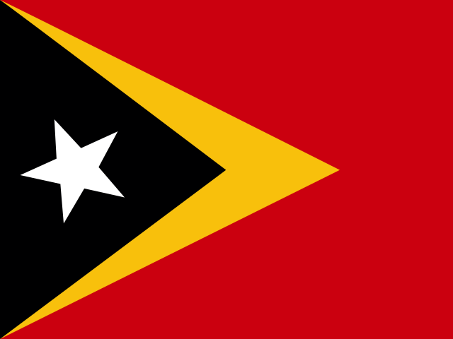
Indonesia shares land borders with 3 countries: Malaysia, Papua New Guinea and Timor-Leste. Papua New Guinea and Timor-Leste touch a part of Indonesia that lies away from its main territory. The map on this page outlines each of them around Indonesia.
How big is Indonesia?
Indonesia covers 1,916,907 square kilometres, or about 740,122 square miles. That makes it the 14th largest of the 195 countries. The figure is total surface area, which includes inland water such as lakes and rivers. Its population of about 285.7 million gives a density of 149 people per square kilometre.
Indonesia is a country in Asia, in Southeast Asia, with about 285.7 million people (2025) and an area of 1,916,907 square kilometres. Its capital is Jakarta, and it shares land borders with 3 countries.
Capital
Jakarta
Continent
Asia
Region
Southeast Asia
Population
285,721,236 2025, World Bank. 4th of 195.
Area
1,916,907 km² (740,122 sq mi) World Bank, surface area. 14th largest of 195.
Population density
149 people per km²
Land neighbours
3: Malaysia, Papua New Guinea, Timor-Leste
Official name
Republic of Indonesia
UN status
Member state
PLACE · from the Geography app
The archipelago that once cooled the whole planet
Two great plates grind together beneath the archipelago, lifting roughly 127 active volcanoes, more than any other country. Tambora erupted in 1815 with such force that ash dimmed the sun worldwide and Europe lost its summer the following year; Krakatoa's 1883 detonation was audible 4,800 kilometers away near Mauritius. The same violence rebuilds the land it destroys, since volcanic ash weathers into the mineral-rich soil that lets Java feed a population most islands its size could not.
Keep going on your iPhone. Scan for Geography: the world, one country at a time, about five minutes a day. No quizzes and no streaks. playgeography.app/countries/indonesia/ · Map data: Natural Earth. Figures: World Bank and national sources, as listed on the page.
Geography · Country report
Indonesia
NameDate
Draw the flag
Colour Indonesia on the map, then fill in what you find.
Capital
Continent
Population
Area
Languages
Currency
Neighbours
Landmarks
Rivers or mountains
Three things I learned
1
2
3
One question I still have
?
Keep going on your iPhone. Scan for Geography: the world, one country at a time, about five minutes a day. No quizzes and no streaks. playgeography.app/countries/indonesia/ · Map data: Natural Earth. Figures: World Bank and national sources, as listed on the page.