India is a country in Asia, with about 1.46 billion people (2025) and an area of 3,287,260 square kilometres. Its capital is New Delhi, and it shares land borders with 6 countries.
By Team Geography·Last reviewed
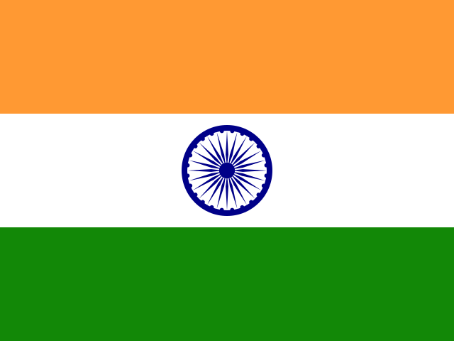
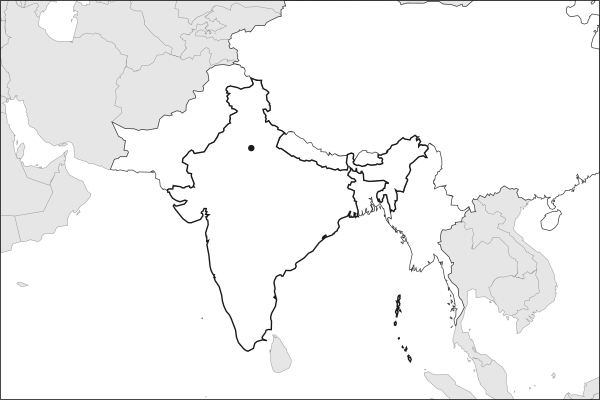
Flag of IndiaIndia in solid, land neighbours outlined, capital marked.
The app teaches each country through short hand written lenses: PLACE for physical geography, STORY for history and identity, NOW for the news, and THREAD for the ties between countries. Here is one of India's 14, in full.
PLACELens 1 of 14
The monsoon is India's real calendar
The southwest monsoon delivers roughly three quarters of India's annual rainfall in four months, breaking over the Kerala coast in early June and retreating by October. Sowing dates, reservoir levels, hydropower output and rural spending all follow it. A season meaningfully below normal raises food prices and slows growth, which is why the India Meteorological Department's seasonal forecast is read like a budget. The mechanism is a seasonal reversal of wind: the heated subcontinent draws saturated air off the Indian Ocean.
More on India Meteorological Department
Founded in 1875, the department has issued seasonal monsoon forecasts since 1884, making them among the oldest operational climate predictions anywhere. It calls a season normal when rainfall lands within four percent either side of the long period average, a band wide enough that two normal years can feel entirely different on a farm in Vidarbha.
13 more lenses on India in the app
PLACE India is an ocean-facing subcontinent
STORY A democracy at continental scale
NOW Why so many global companies now talk about India strategy
THREAD India likes alignment without alliance
PLACE The border that still divides the subcontinent
STORY India speaks more languages than most countries have cities
NOW Digital India is an experiment at population scale
PLACE The plain that one river laid down
STORY Caste did not end with the constitution
NOW The census that will redraw Indian power
THREAD One passport, two very different migrations
NOW The energy transition's hardest arithmetic happens here
NOW The reserves are there, the refineries are not
Titles only. The app brings each lens back on a spaced repetition schedule set by how well you knew it: New, Hazy or Clear.
Compare India with another country
Opens the country comparison tool with population, area, income and more side by side, every figure dated.
Common questions
What is the capital of India?
The capital of India is New Delhi. New Delhi lies at about 28.6 degrees north and 77.2 degrees east. India is in Asia. It is home to about 1.46 billion people. The world capitals quiz on this site tests every capital, and the printable capitals sheets cover each continent.
What is the population of India?
About 1.46 billion people live in India, according to the World Bank figures for 2025. That makes it the 1st most populous of the 195 countries. With an area of 3,287,260 square kilometres, that is about 445 people per square kilometre.
What countries border India?
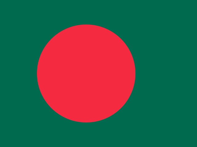
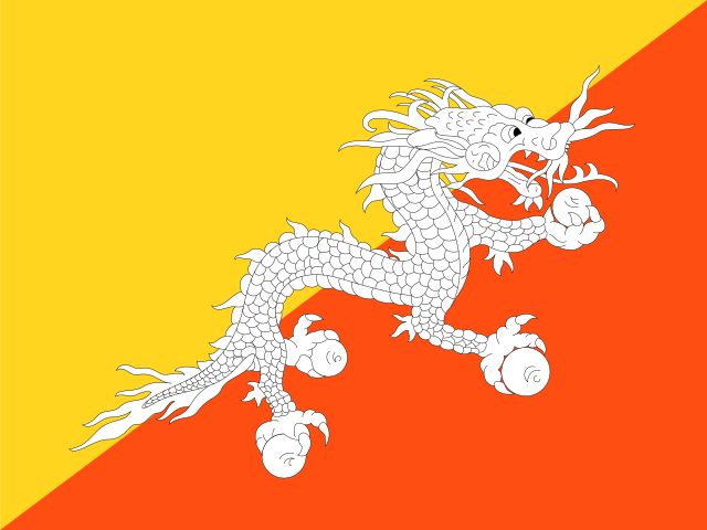
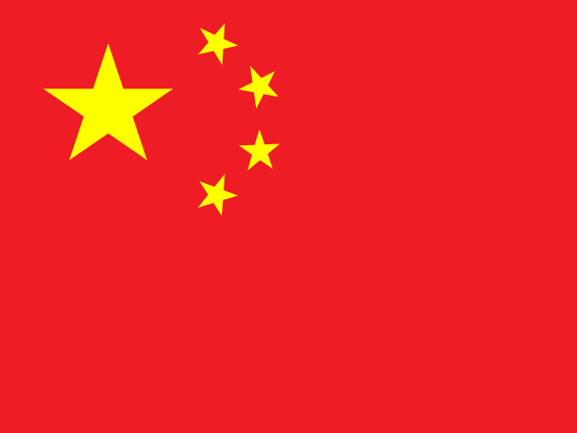
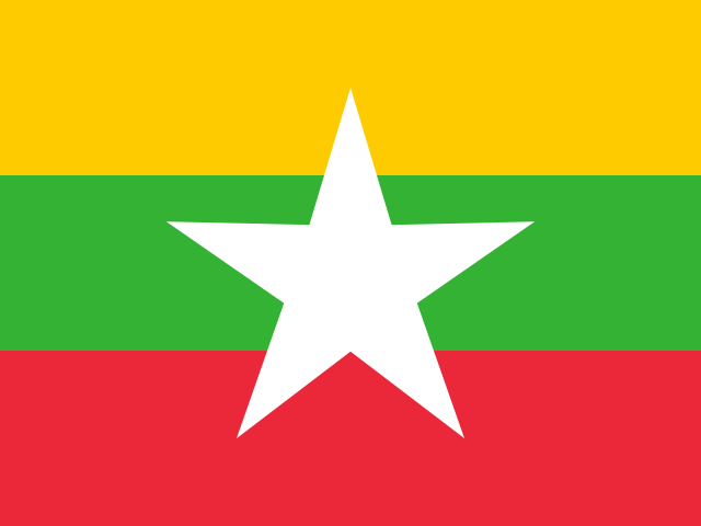
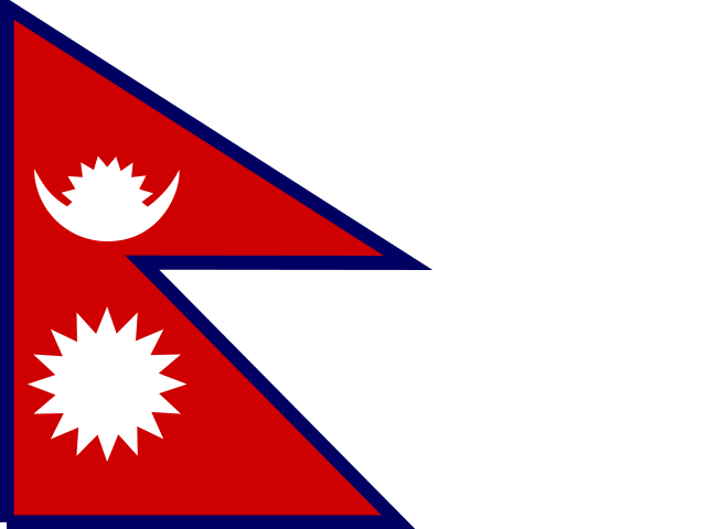
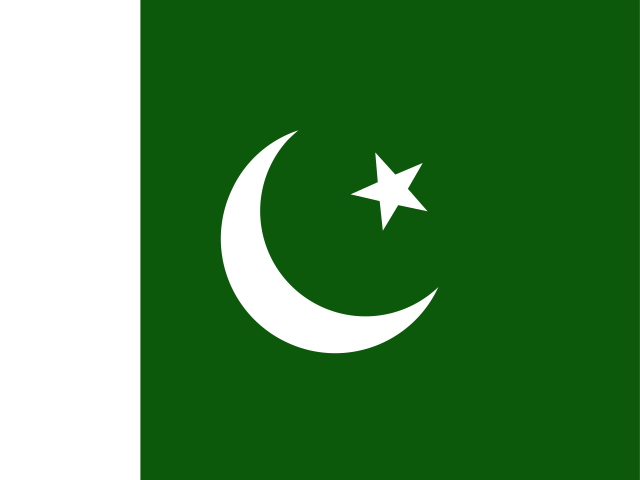
India shares land borders with 6 countries: Bangladesh, Bhutan, China, Myanmar, Nepal and Pakistan. The map on this page outlines each of them around India. The count includes only borders on land, not neighbours across a sea or a lake.
How big is India?
India covers 3,287,260 square kilometres, or about 1,269,218 square miles. That makes it the 7th largest of the 195 countries. The figure is total surface area, which includes inland water such as lakes and rivers. Its population of about 1.46 billion gives a density of 445 people per square kilometre.
India is a country in Asia, with about 1.46 billion people (2025) and an area of 3,287,260 square kilometres. Its capital is New Delhi, and it shares land borders with 6 countries.
Capital
New Delhi
Continent
Asia
Population
1,463,865,525 2025, World Bank. 1st of 195.
Area
3,287,260 km² (1,269,218 sq mi) World Bank, surface area. 7th largest of 195.
The southwest monsoon delivers roughly three quarters of India's annual rainfall in four months, breaking over the Kerala coast in early June and retreating by October. Sowing dates, reservoir levels, hydropower output and rural spending all follow it. A season meaningfully below normal raises food prices and slows growth, which is why the India Meteorological Department's seasonal forecast is read like a budget. The mechanism is a seasonal reversal of wind: the heated subcontinent draws saturated air off the Indian Ocean.
Keep going on your iPhone. Scan for Geography: the world, one country at a time, about five minutes a day. No quizzes and no streaks. playgeography.app/countries/india/ · Map data: Natural Earth. Figures: World Bank and national sources, as listed on the page.
Geography · Country report
India
NameDate
Draw the flag
Colour India on the map, then fill in what you find.
Capital
Continent
Population
Area
Languages
Currency
Neighbours
Landmarks
Rivers or mountains
Three things I learned
1
2
3
One question I still have
?
Keep going on your iPhone. Scan for Geography: the world, one country at a time, about five minutes a day. No quizzes and no streaks. playgeography.app/countries/india/ · Map data: Natural Earth. Figures: World Bank and national sources, as listed on the page.