Myanmar is a country in Asia, in Southeast Asia, with about 54.9 million people (2025) and an area of 676,590 square kilometres. Its capital is Naypyidaw, and it shares land borders with 5 countries.
By Team Geography·Last reviewed
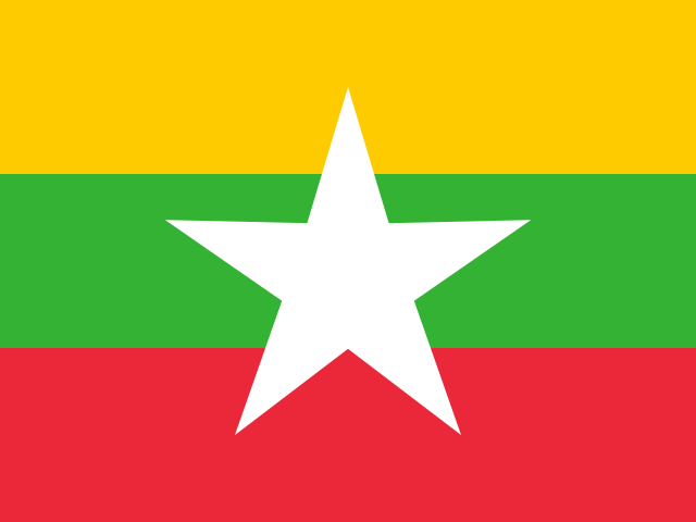
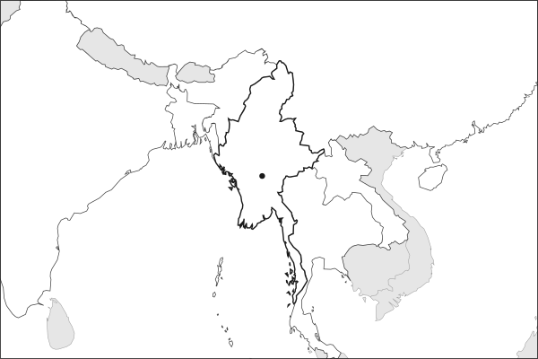
Flag of MyanmarMyanmar in solid, land neighbours outlined, capital marked.
The app teaches each country through short hand written lenses: PLACE for physical geography, STORY for history and identity, NOW for the news, and THREAD for the ties between countries. Here is one of Myanmar's 8, in full.
PLACELens 1 of 8
A central river valley ringed by ethnic highlands
The Irrawaddy valley, flat, fertile, and predominantly Bamar, runs down the center of Myanmar and holds Yangon, Mandalay, and the capital Naypyidaw. Mountainous borderlands wrap around this core on three sides, home to Shan, Kachin, Karen, Chin, and Rakhine populations that have fought for autonomy since independence. The country has never been unified: the center holds the lowlands, the highlands resist, and the borders with China, Thailand, India, and Laos stay permeable, ungoverned zones where armed groups, smuggling, and drug production thrive.
More on Irrawaddy
The Irrawaddy is Myanmar's lifeline, a 2,170-kilometer river flowing from the Himalayan foothills to a vast delta on the Andaman Sea. The delta is Myanmar's rice bowl and was devastated by Cyclone Nargis in 2008, which killed over 138,000 people.
7 more lenses on Myanmar in the app
STORY Myanmar has been at war with itself since the day it became independent
NOW Myanmar's war has hardened into stalemate
THREAD Myanmar's neighbors can't fix it and can't ignore it
NOW The border compounds that industrialized online fraud
THREAD China's overland route around the Malacca Strait
STORY Jade and rare earths pay for the war
NOW A fault line under every major city
Titles only. The app brings each lens back on a spaced repetition schedule set by how well you knew it: New, Hazy or Clear.
Compare Myanmar with another country
Opens the country comparison tool with population, area, income and more side by side, every figure dated.
Common questions
What is the capital of Myanmar?
The capital of Myanmar is Naypyidaw. Renamed from Burma in 1989; both names remain in wide use. Naypyidaw lies at about 19.8 degrees north and 96.1 degrees east. Myanmar is in Asia, in the region often called Southeast Asia. It is home to about 54.9 million people.
What is the population of Myanmar?
About 54.9 million people live in Myanmar, according to the World Bank figures for 2025. That makes it the 27th most populous of the 195 countries. With an area of 676,590 square kilometres, that is about 81 people per square kilometre.
What countries border Myanmar?
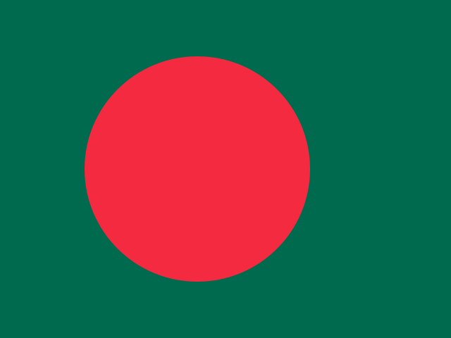
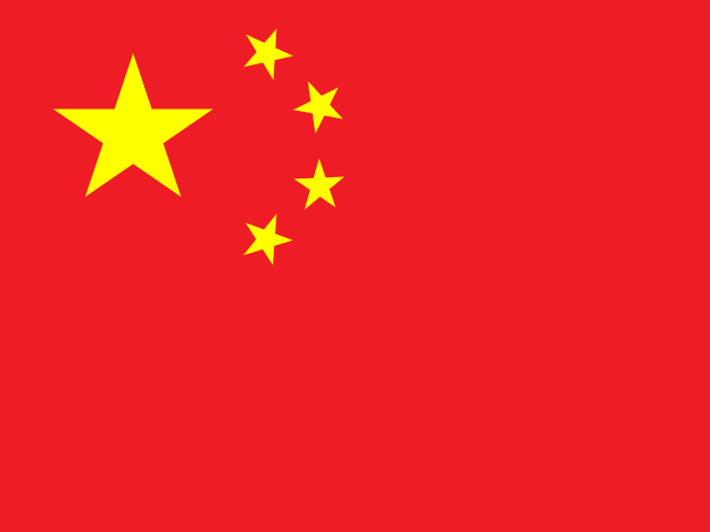
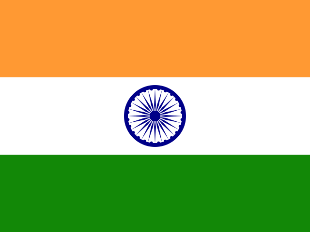
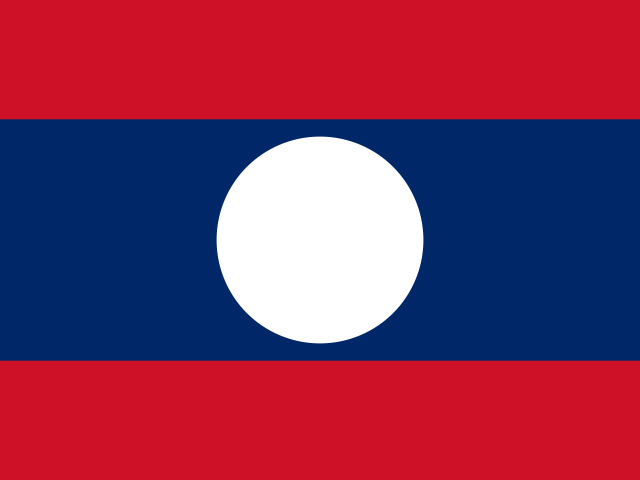
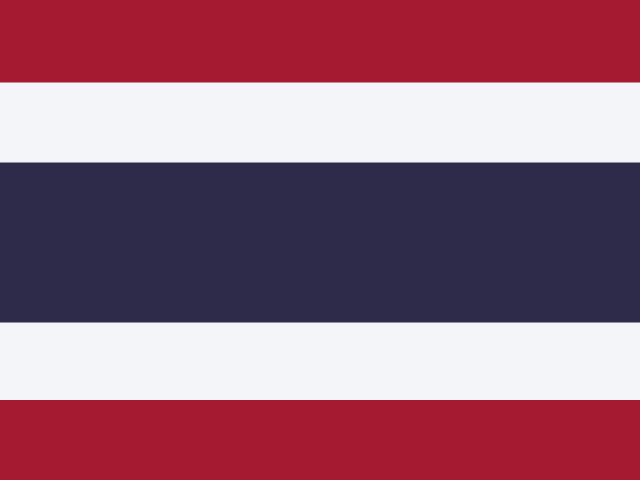
Myanmar shares land borders with 5 countries: Bangladesh, China, India, Laos and Thailand. The map on this page outlines each of them around Myanmar. The count includes only borders on land, not neighbours across a sea or a lake. Borders here follow Natural Earth at the 1:50 million scale, with Crimea shown as part of Ukraine and Western Sahara as a separate territory.
How big is Myanmar?
Myanmar covers 676,590 square kilometres, or about 261,233 square miles. That makes it the 39th largest of the 195 countries. The figure is total surface area, which includes inland water such as lakes and rivers. Its population of about 54.9 million gives a density of 81 people per square kilometre.
Myanmar is a country in Asia, in Southeast Asia, with about 54.9 million people (2025) and an area of 676,590 square kilometres. Its capital is Naypyidaw, and it shares land borders with 5 countries.
Capital
Naypyidaw
Continent
Asia
Region
Southeast Asia
Population
54,850,648 2025, World Bank. 27th of 195.
Area
676,590 km² (261,233 sq mi) World Bank, surface area. 39th largest of 195.
Population density
81 people per km²
Land neighbours
5: Bangladesh, China, India, Laos, Thailand
Official name
Republic of the Union of Myanmar
UN status
Member state
PLACE · from the Geography app
A central river valley ringed by ethnic highlands
The Irrawaddy valley, flat, fertile, and predominantly Bamar, runs down the center of Myanmar and holds Yangon, Mandalay, and the capital Naypyidaw. Mountainous borderlands wrap around this core on three sides, home to Shan, Kachin, Karen, Chin, and Rakhine populations that have fought for autonomy since independence. The country has never been unified: the center holds the lowlands, the highlands resist, and the borders with China, Thailand, India, and Laos stay permeable, ungoverned zones where armed groups, smuggling, and drug production thrive.
Keep going on your iPhone. Scan for Geography: the world, one country at a time, about five minutes a day. No quizzes and no streaks. playgeography.app/countries/myanmar/ · Map data: Natural Earth. Figures: World Bank and national sources, as listed on the page.
Geography · Country report
Myanmar
NameDate
Draw the flag
Colour Myanmar on the map, then fill in what you find.
Capital
Continent
Population
Area
Languages
Currency
Neighbours
Landmarks
Rivers or mountains
Three things I learned
1
2
3
One question I still have
?
Keep going on your iPhone. Scan for Geography: the world, one country at a time, about five minutes a day. No quizzes and no streaks. playgeography.app/countries/myanmar/ · Map data: Natural Earth. Figures: World Bank and national sources, as listed on the page.