Iran is a country in Asia, in Middle East, with about 92.4 million people (2025) and an area of 1,745,150 square kilometres. Its capital is Tehran, and it shares land borders with 7 countries.
By Team Geography·Last reviewed
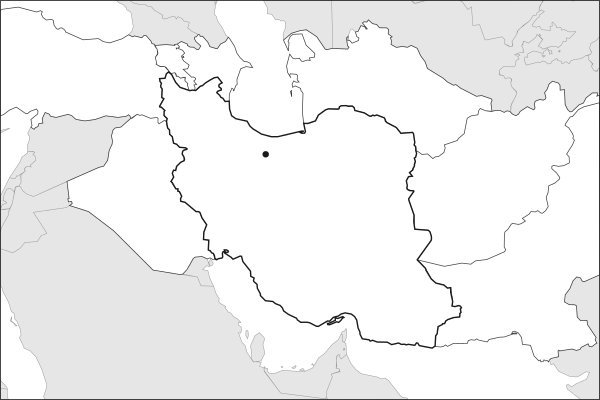
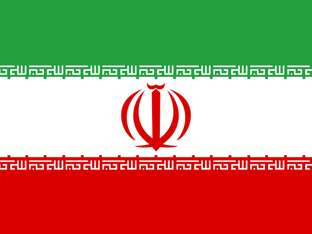
Flag of IranIran in solid, land neighbours outlined, capital marked.
The app teaches each country through short hand written lenses: PLACE for physical geography, STORY for history and identity, NOW for the news, and THREAD for the ties between countries. Here is one of Iran's 17, in full.
PLACELens 1 of 17
The tunnels that made desert cities possible
Iran's interior is too dry for rain-fed farming, so its cities were built on the qanat: a gently sloping tunnel driven from an aquifer at the foot of a mountain, sometimes for tens of kilometers, delivering water by gravity with almost no evaporation. Tens of thousands were dug, and the one at Gonabad has run for roughly 2,500 years. Yazd added windcatchers to cool its houses and mud-brick yakhchals to make ice in the desert.
More on windcatchers
A badgir catches moving air well above the roofline and turns it down into the house, often across a pool or a qanat channel so evaporation chills it on the way. Warm air is drawn out by the pressure difference. The tallest, at the Dowlatabad garden in Yazd, stands about 33 meters. Merchants carried the design across the Gulf, where it shaped old Dubai.
16 more lenses on Iran in the app
PLACE Iran is a plateau state with chokepoint access
THREAD Iran is both regional power and permanent argument
STORY Iran is heir to one of the world's oldest continuous civilizations
NOW Iran's leadership changed for the first time since 1989
PLACE Iran is an ethnic mosaic held together by geography and state power
PLACE Football on a high, mountain-ringed plateau
STORY A record holder and a reckoning
NOW Unbeaten, and out before the knockouts
THREAD Neighbors who decide each other's fate
PLACE Where the deserts meet two seas
STORY The most political match ever played
NOW A team carried by its diaspora
THREAD The old powers of Asian football
STORY A poet spent thirty years saving a language
NOW The gas superpower that cannot heat itself
THREAD One language, three states, three official names
Titles only. The app brings each lens back on a spaced repetition schedule set by how well you knew it: New, Hazy or Clear.
Compare Iran with another country
Opens the country comparison tool with population, area, income and more side by side, every figure dated.
Common questions
What is the capital of Iran?
The capital of Iran is Tehran. Tehran lies at about 35.7 degrees north and 51.4 degrees east. Iran is in Asia, in the region often called Middle East. It is home to about 92.4 million people. The world capitals quiz on this site tests every capital, and the printable capitals sheets cover each continent.
What is the population of Iran?
About 92.4 million people live in Iran, according to the World Bank figures for 2025. That makes it the 17th most populous of the 195 countries. With an area of 1,745,150 square kilometres, that is about 53 people per square kilometre.
What countries border Iran?
Iran shares land borders with 7 countries: Afghanistan, Armenia, Azerbaijan, Iraq, Pakistan, Turkmenistan and Türkiye. The map on this page outlines each of them around Iran. The count includes only borders on land, not neighbours across a sea or a lake.
How big is Iran?
Iran covers 1,745,150 square kilometres, or about 673,806 square miles. That makes it the 17th largest of the 195 countries. The figure is total surface area, which includes inland water such as lakes and rivers. Its population of about 92.4 million gives a density of 53 people per square kilometre.
Iran is a country in Asia, in Middle East, with about 92.4 million people (2025) and an area of 1,745,150 square kilometres. Its capital is Tehran, and it shares land borders with 7 countries.
Capital
Tehran
Continent
Asia
Region
Middle East
Population
92,417,681 2025, World Bank. 17th of 195.
Area
1,745,150 km² (673,806 sq mi) World Bank, surface area. 17th largest of 195.
Population density
53 people per km²
Land neighbours
7: Afghanistan, Armenia, Azerbaijan, Iraq, Pakistan, Turkmenistan, Türkiye
Official name
Islamic Republic of Iran
UN status
Member state
PLACE · from the Geography app
The tunnels that made desert cities possible
Iran's interior is too dry for rain-fed farming, so its cities were built on the qanat: a gently sloping tunnel driven from an aquifer at the foot of a mountain, sometimes for tens of kilometers, delivering water by gravity with almost no evaporation. Tens of thousands were dug, and the one at Gonabad has run for roughly 2,500 years. Yazd added windcatchers to cool its houses and mud-brick yakhchals to make ice in the desert.
Keep going on your iPhone. Scan for Geography: the world, one country at a time, about five minutes a day. No quizzes and no streaks. playgeography.app/countries/iran/ · Map data: Natural Earth. Figures: World Bank and national sources, as listed on the page.
Geography · Country report
Iran
NameDate
Draw the flag
Colour Iran on the map, then fill in what you find.
Capital
Continent
Population
Area
Languages
Currency
Neighbours
Landmarks
Rivers or mountains
Three things I learned
1
2
3
One question I still have
?
Keep going on your iPhone. Scan for Geography: the world, one country at a time, about five minutes a day. No quizzes and no streaks. playgeography.app/countries/iran/ · Map data: Natural Earth. Figures: World Bank and national sources, as listed on the page.
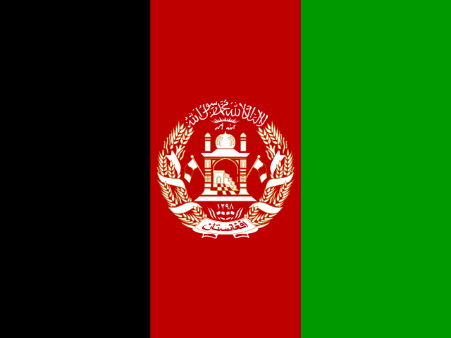 AfghanistanKabul
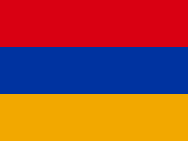 ArmeniaYerevan
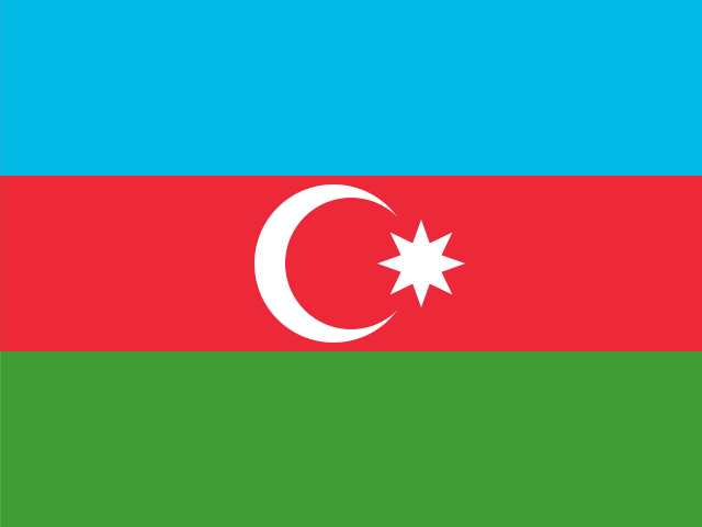 AzerbaijanBaku
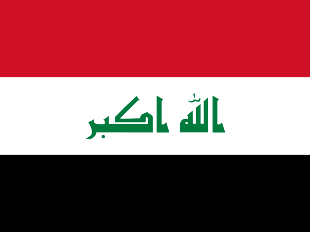 IraqBaghdad
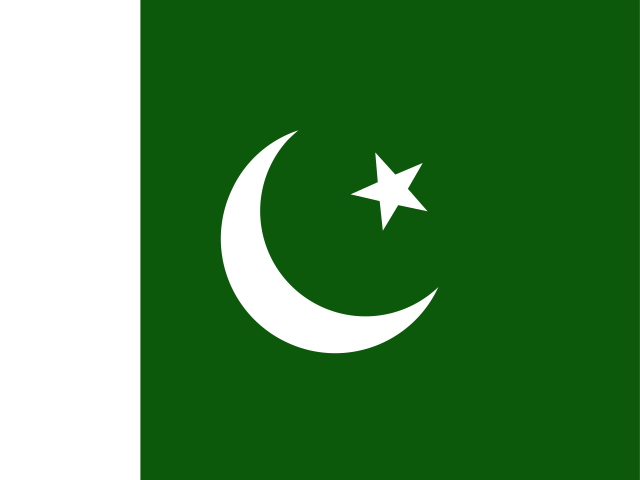 PakistanIslamabad
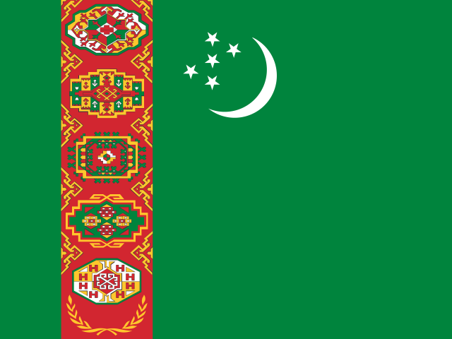 TurkmenistanAshgabat
 TürkiyeAnkara