Azerbaijan is a country in Asia, with about 10.2 million people (2025) and an area of 86,600 square kilometres. Its capital is Baku, and it shares land borders with 5 countries.
By Team Geography·Last reviewed
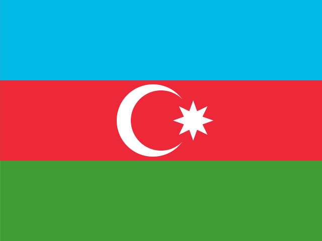
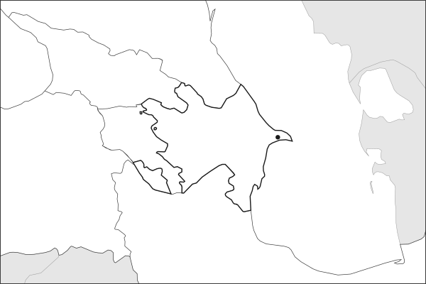
Flag of AzerbaijanAzerbaijan in solid, land neighbours outlined, capital marked.
The app teaches each country through short hand written lenses: PLACE for physical geography, STORY for history and identity, NOW for the news, and THREAD for the ties between countries. Here is one of Azerbaijan's 6, in full.
PLACELens 1 of 6
A capital below the level of the sea
Baku sits 28 meters below sea level on the Absheron Peninsula, the lowest-lying capital of any country. The Caspian is not a sea in the ordinary sense but the world's largest enclosed body of water, its surface well beneath the ocean's. Inland, the Kura and Aras rivers meet in a hot lowland that grows cotton and grain, while the Greater Caucasus shields the north. Around 400 mud volcanoes, more than half the world's total, vent across the terrain.
More on mud volcanoes
Mud volcanoes push up cold slurry and gas rather than lava, driven by the same deep pressure that fills Azerbaijan's oil reservoirs. Some rise over 200 meters. Eruptions occasionally ignite, as one near Baku did in 2001, sending flame into the night sky. Many cluster in the Gobustan reserve, which UNESCO listed in 2007 for its prehistoric rock carvings.
5 more lenses on Azerbaijan in the app
PLACE A province reachable only across another country
STORY The city that once supplied half the world
NOW A state financed by what lies beneath
NOW The Caucasus rearranged around a single victory
THREAD Pipelines drawn to avoid two neighbors
Titles only. The app brings each lens back on a spaced repetition schedule set by how well you knew it: New, Hazy or Clear.
Compare Azerbaijan with another country
Opens the country comparison tool with population, area, income and more side by side, every figure dated.
Common questions
What is the capital of Azerbaijan?
The capital of Azerbaijan is Baku. Placed in Asia here, following the UN geoscheme (Western Asia). A small part north of the Caucasus watershed is often counted as Europe. Baku lies at about 40.4 degrees north and 49.9 degrees east.
What is the population of Azerbaijan?
About 10.2 million people live in Azerbaijan, according to the World Bank figures for 2025. That makes it the 94th most populous of the 195 countries. With an area of 86,600 square kilometres, that is about 118 people per square kilometre.
What countries border Azerbaijan?
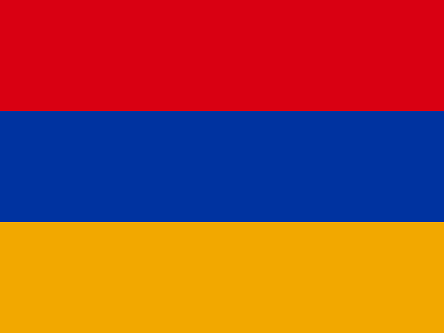
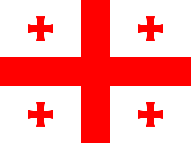
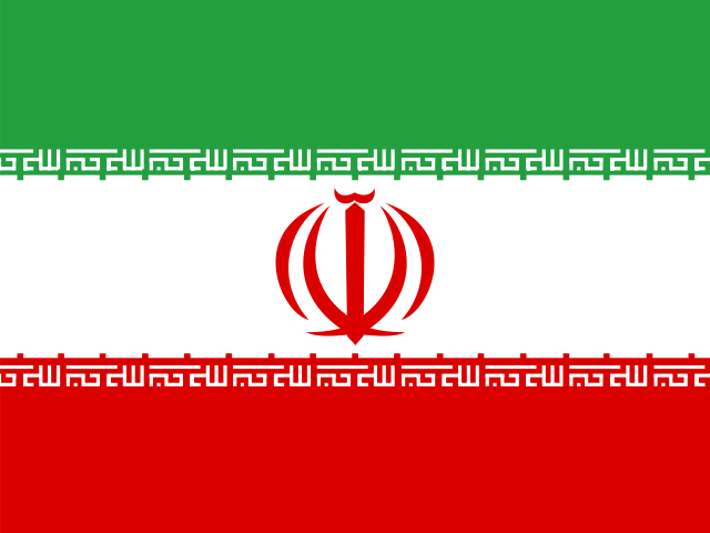
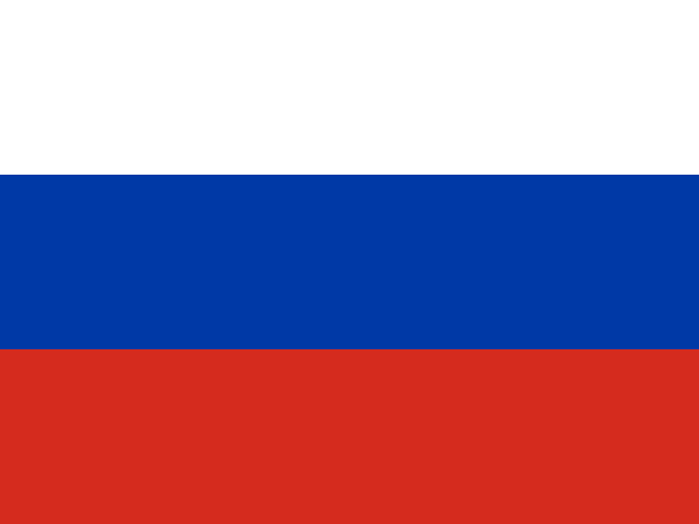
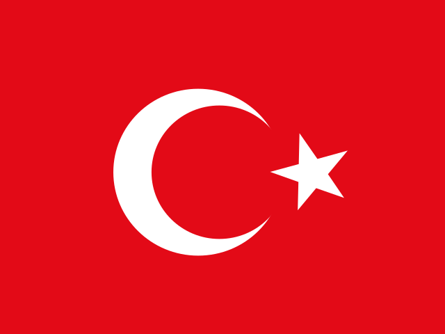
Azerbaijan shares land borders with 5 countries: Armenia, Georgia, Iran, Russia and Türkiye. Türkiye touches a part of Azerbaijan that lies away from its main territory. The map on this page outlines each of them around Azerbaijan. The count includes only borders on land, not neighbours across a sea or a lake.
How big is Azerbaijan?
Azerbaijan covers 86,600 square kilometres, or about 33,436 square miles. That makes it the 114th largest of the 195 countries. The figure is total surface area, which includes inland water such as lakes and rivers. Its population of about 10.2 million gives a density of 118 people per square kilometre.
Azerbaijan is a country in Asia, with about 10.2 million people (2025) and an area of 86,600 square kilometres. Its capital is Baku, and it shares land borders with 5 countries.
Capital
Baku
Continent
Asia
Population
10,246,996 2025, World Bank. 94th of 195.
Area
86,600 km² (33,436 sq mi) World Bank, surface area. 114th largest of 195.
Population density
118 people per km²
Land neighbours
5: Armenia, Georgia, Iran, Russia, Türkiye
Official name
Republic of Azerbaijan
UN status
Member state
PLACE · from the Geography app
A capital below the level of the sea
Baku sits 28 meters below sea level on the Absheron Peninsula, the lowest-lying capital of any country. The Caspian is not a sea in the ordinary sense but the world's largest enclosed body of water, its surface well beneath the ocean's. Inland, the Kura and Aras rivers meet in a hot lowland that grows cotton and grain, while the Greater Caucasus shields the north. Around 400 mud volcanoes, more than half the world's total, vent across the terrain.
Keep going on your iPhone. Scan for Geography: the world, one country at a time, about five minutes a day. No quizzes and no streaks. playgeography.app/countries/azerbaijan/ · Map data: Natural Earth. Figures: World Bank and national sources, as listed on the page.
Geography · Country report
Azerbaijan
NameDate
Draw the flag
Colour Azerbaijan on the map, then fill in what you find.
Capital
Continent
Population
Area
Languages
Currency
Neighbours
Landmarks
Rivers or mountains
Three things I learned
1
2
3
One question I still have
?
Keep going on your iPhone. Scan for Geography: the world, one country at a time, about five minutes a day. No quizzes and no streaks. playgeography.app/countries/azerbaijan/ · Map data: Natural Earth. Figures: World Bank and national sources, as listed on the page.