Turkmenistan is a country in Asia, in Central Asia, with about 7.62 million people (2025) and an area of 491,209 square kilometres. Its capital is Ashgabat, and it shares land borders with 4 countries.
By Team Geography·Last reviewed
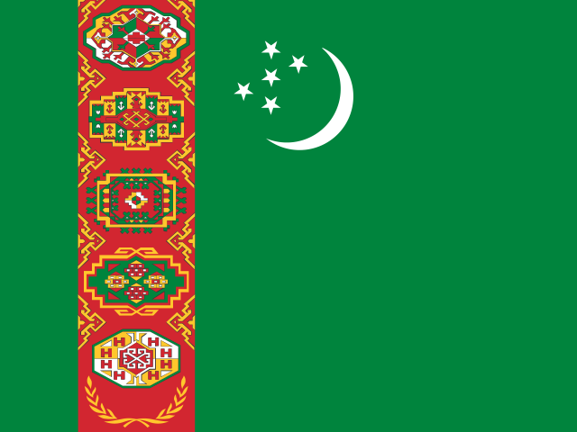
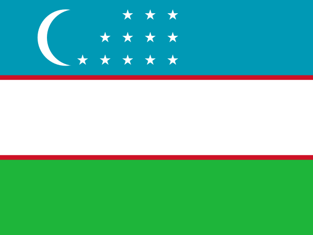
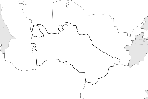
Flag of TurkmenistanTurkmenistan in solid, land neighbours outlined, capital marked.
The app teaches each country through short hand written lenses: PLACE for physical geography, STORY for history and identity, NOW for the news, and THREAD for the ties between countries. Here is one of Turkmenistan's 5, in full.
PLACELens 1 of 5
Turkmenistan is 80% desert, bounded by the Caspian and Afghanistan
The Karakum Desert covers most of Turkmenistan, a vast, sun-baked expanse between the Caspian Sea to the west and Afghanistan to the southeast. The country's population clusters along the southern foothills and the Amu Darya river in the east, where irrigated agriculture is possible. Ashgabat, the capital, sits near the Iranian border in a narrow habitable strip. Turkmenistan's geography is one of extremes: desert, gas, and isolation.
More on Karakum Desert
The Karakum ("Black Sand") covers roughly 350,000 km², one of the largest sand deserts in the world. Beneath it lie enormous natural gas deposits that define Turkmenistan's economy.
4 more lenses on Turkmenistan in the app
STORY Turkmenistan is one of the most closed societies on Earth
NOW Europe's hunger for non-Russian gas has revived Turkmenistan's pipeline dreams
NOW Turkmenistan wastes more gas than most countries produce
THREAD Turkmenistan declared permanent neutrality and means it
Titles only. The app brings each lens back on a spaced repetition schedule set by how well you knew it: New, Hazy or Clear.
Compare Turkmenistan with another country
Opens the country comparison tool with population, area, income and more side by side, every figure dated.
Common questions
What is the capital of Turkmenistan?
The capital of Turkmenistan is Ashgabat. Ashgabat lies at about 38.0 degrees north and 58.4 degrees east. Turkmenistan is in Asia, in the region often called Central Asia. It is home to about 7.62 million people. The world capitals quiz on this site tests every capital, and the printable capitals sheets cover each continent.
What is the population of Turkmenistan?
About 7.62 million people live in Turkmenistan, according to the World Bank figures for 2025. That makes it the 103rd most populous of the 195 countries. With an area of 491,209 square kilometres, that is about 16 people per square kilometre.
What countries border Turkmenistan?
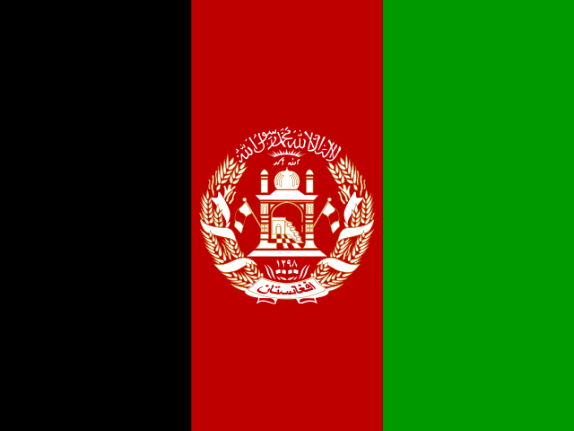
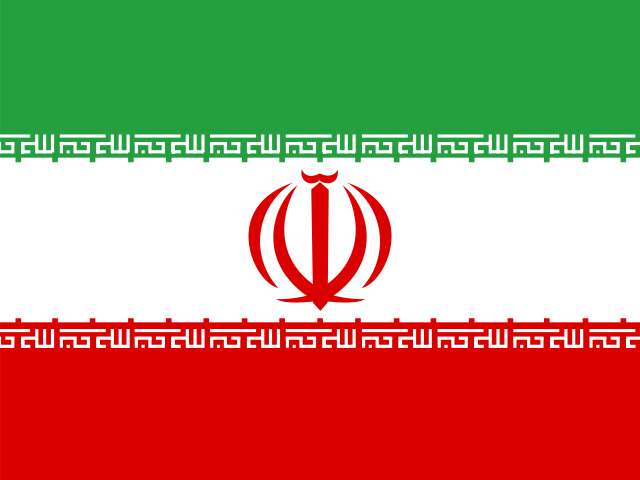
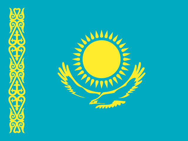
Turkmenistan shares land borders with 4 countries: Afghanistan, Iran, Kazakhstan and Uzbekistan. The map on this page outlines each of them around Turkmenistan. The count includes only borders on land, not neighbours across a sea or a lake. Borders here follow Natural Earth at the 1:50 million scale, with Crimea shown as part of Ukraine and Western Sahara as a separate territory.
How big is Turkmenistan?
Turkmenistan covers 491,209 square kilometres, or about 189,657 square miles. That makes it the 54th largest of the 195 countries. The figure is total surface area, which includes inland water such as lakes and rivers. Its population of about 7.62 million gives a density of 16 people per square kilometre.
Turkmenistan is a country in Asia, in Central Asia, with about 7.62 million people (2025) and an area of 491,209 square kilometres. Its capital is Ashgabat, and it shares land borders with 4 countries.
Capital
Ashgabat
Continent
Asia
Region
Central Asia
Population
7,618,847 2025, World Bank. 103rd of 195.
Area
491,209 km² (189,657 sq mi) World Bank, surface area. 54th largest of 195.
Population density
16 people per km²
Land neighbours
4: Afghanistan, Iran, Kazakhstan, Uzbekistan
UN status
Member state
PLACE · from the Geography app
Turkmenistan is 80% desert, bounded by the Caspian and Afghanistan
The Karakum Desert covers most of Turkmenistan, a vast, sun-baked expanse between the Caspian Sea to the west and Afghanistan to the southeast. The country's population clusters along the southern foothills and the Amu Darya river in the east, where irrigated agriculture is possible. Ashgabat, the capital, sits near the Iranian border in a narrow habitable strip. Turkmenistan's geography is one of extremes: desert, gas, and isolation.
Keep going on your iPhone. Scan for Geography: the world, one country at a time, about five minutes a day. No quizzes and no streaks. playgeography.app/countries/turkmenistan/ · Map data: Natural Earth. Figures: World Bank and national sources, as listed on the page.
Geography · Country report
Turkmenistan
NameDate
Draw the flag
Colour Turkmenistan on the map, then fill in what you find.
Capital
Continent
Population
Area
Languages
Currency
Neighbours
Landmarks
Rivers or mountains
Three things I learned
1
2
3
One question I still have
?
Keep going on your iPhone. Scan for Geography: the world, one country at a time, about five minutes a day. No quizzes and no streaks. playgeography.app/countries/turkmenistan/ · Map data: Natural Earth. Figures: World Bank and national sources, as listed on the page.