Liberia is a country in Africa, in West Africa, with about 5.73 million people (2025) and an area of 111,370 square kilometres. Its capital is Monrovia, and it shares land borders with 3 countries.
By Team Geography·Last reviewed
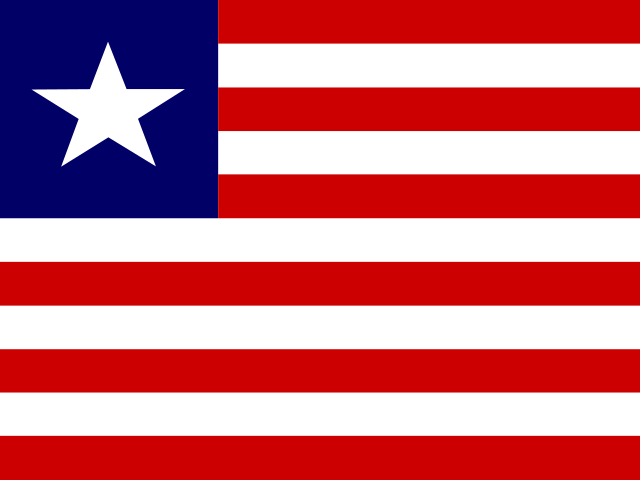
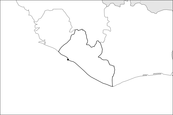
Flag of LiberiaLiberia in solid, land neighbours outlined, capital marked.
The app teaches each country through short hand written lenses: PLACE for physical geography, STORY for history and identity, NOW for the news, and THREAD for the ties between countries. Here is one of Liberia's 6, in full.
PLACELens 1 of 6
A densely forested coast facing the open Atlantic
Liberia holds a stretch of West Africa's Upper Guinea Coast, bordered by Sierra Leone, Guinea, and Cote d'Ivoire. Its coastline runs roughly 580 kilometers along the Atlantic, backed by lowland rain forest rising into a hilly interior and the Nimba Mountains on the Guinean border. It retains one of the largest surviving blocks of Upper Guinean tropical forest, a biodiversity hotspot under pressure from logging, mining, and farming. Monrovia, the capital, sits on a peninsula where the St. Paul River meets the sea.
More on Upper Guinean tropical forest
This forest ecosystem, stretching from Guinea to Ghana, is one of the world's 36 biodiversity hotspots. Liberia contains roughly 43 percent of what remains, including forest elephants, pygmy hippos, and western chimpanzees. Logging concessions and iron ore mining are the ongoing threats.
5 more lenses on Liberia in the app
STORY Founded by freed American slaves, but it is an African country
STORY Two civil wars and the long road back
NOW Liberia's flag flies on more ships than almost any other
THREAD Liberia's wars reshaped the entire West African neighborhood
THREAD Half the world's ships fly three small flags
Titles only. The app brings each lens back on a spaced repetition schedule set by how well you knew it: New, Hazy or Clear.
Compare Liberia with another country
Opens the country comparison tool with population, area, income and more side by side, every figure dated.
Common questions
What is the capital of Liberia?
The capital of Liberia is Monrovia. Monrovia lies at about 6.3 degrees north and 10.8 degrees west. Liberia is in Africa, in the region often called West Africa. It is home to about 5.73 million people. The world capitals quiz on this site tests every capital, and the printable capitals sheets cover each continent.
What is the population of Liberia?
About 5.73 million people live in Liberia, according to the World Bank figures for 2025. That makes it the 115th most populous of the 195 countries. With an area of 111,370 square kilometres, that is about 51 people per square kilometre.
What countries border Liberia?
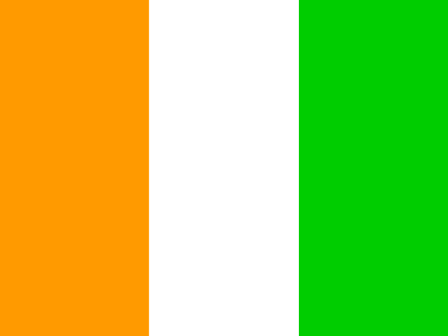
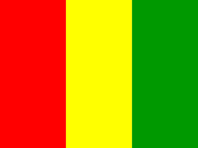
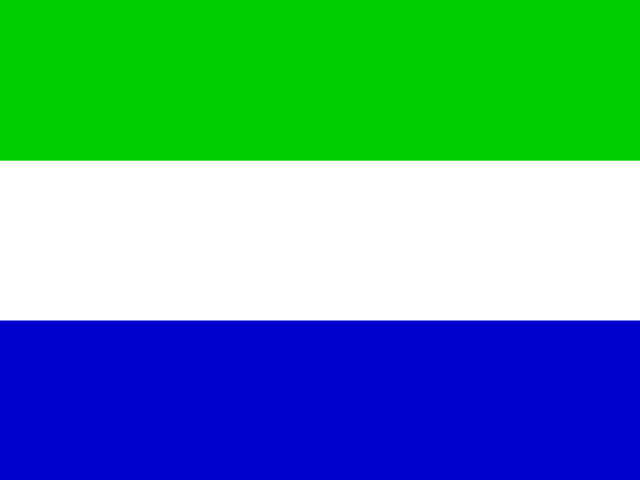
Liberia shares land borders with 3 countries: Côte d'Ivoire, Guinea and Sierra Leone. The map on this page outlines each of them around Liberia. The count includes only borders on land, not neighbours across a sea or a lake. Borders here follow Natural Earth at the 1:50 million scale, with Crimea shown as part of Ukraine and Western Sahara as a separate territory.
How big is Liberia?
Liberia covers 111,370 square kilometres, or about 43,000 square miles. That makes it the 103rd largest of the 195 countries. The figure is total surface area, which includes inland water such as lakes and rivers. Its population of about 5.73 million gives a density of 51 people per square kilometre.
Liberia is a country in Africa, in West Africa, with about 5.73 million people (2025) and an area of 111,370 square kilometres. Its capital is Monrovia, and it shares land borders with 3 countries.
Capital
Monrovia
Continent
Africa
Region
West Africa
Population
5,731,206 2025, World Bank. 115th of 195.
Area
111,370 km² (43,000 sq mi) World Bank, surface area. 103rd largest of 195.
Population density
51 people per km²
Land neighbours
3: Côte d'Ivoire, Guinea, Sierra Leone
Official name
Republic of Liberia
UN status
Member state
PLACE · from the Geography app
A densely forested coast facing the open Atlantic
Liberia holds a stretch of West Africa's Upper Guinea Coast, bordered by Sierra Leone, Guinea, and Cote d'Ivoire. Its coastline runs roughly 580 kilometers along the Atlantic, backed by lowland rain forest rising into a hilly interior and the Nimba Mountains on the Guinean border. It retains one of the largest surviving blocks of Upper Guinean tropical forest, a biodiversity hotspot under pressure from logging, mining, and farming. Monrovia, the capital, sits on a peninsula where the St. Paul River meets the sea.
Keep going on your iPhone. Scan for Geography: the world, one country at a time, about five minutes a day. No quizzes and no streaks. playgeography.app/countries/liberia/ · Map data: Natural Earth. Figures: World Bank and national sources, as listed on the page.
Geography · Country report
Liberia
NameDate
Draw the flag
Colour Liberia on the map, then fill in what you find.
Capital
Continent
Population
Area
Languages
Currency
Neighbours
Landmarks
Rivers or mountains
Three things I learned
1
2
3
One question I still have
?
Keep going on your iPhone. Scan for Geography: the world, one country at a time, about five minutes a day. No quizzes and no streaks. playgeography.app/countries/liberia/ · Map data: Natural Earth. Figures: World Bank and national sources, as listed on the page.