Sierra Leone is a country in Africa, in West Africa, with about 8.82 million people (2025) and an area of 72,300 square kilometres. Its capital is Freetown, and it shares land borders with 2 countries.
By Team Geography·Last reviewed
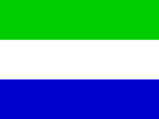
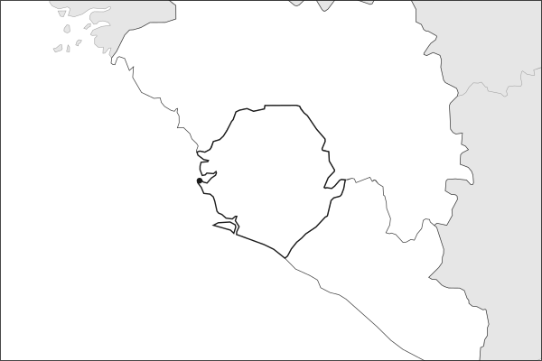
Flag of Sierra LeoneSierra Leone in solid, land neighbours outlined, capital marked.
The app teaches each country through short hand written lenses: PLACE for physical geography, STORY for history and identity, NOW for the news, and THREAD for the ties between countries. Here is one of Sierra Leone's 5, in full.
PLACELens 1 of 5
A mountainous peninsula that gave the country its name
Sierra Leone sits on the West African coast between Guinea and Liberia. Its name, meaning Lion Mountains, came from Portuguese explorers who saw a crouching lion in the mountainous Freetown Peninsula, or perhaps heard it in the roar of storms off the coast. The land rises from mangrove-fringed lowlands through forested hills to the Loma Mountains in the northeast, which reach 1,948 meters. Freetown's natural harbor has shaped the country since it became a settlement for freed slaves in the late 18th century.
More on Freetown's natural harbor
The Sierra Leone River estuary creates one of the world's largest natural deep-water harbors. During World War II, the British used it as a major naval base. Today it remains underutilized relative to its potential, though plans for port expansion and modernization have been recurring topics.
4 more lenses on Sierra Leone in the app
STORY A refuge for the freed that became a nation
NOW Diamonds fueled a war and still shape the economy
STORY Ebola tested a fragile state and reshaped public health
THREAD Sierra Leone's recovery depends on its neighborhood
Titles only. The app brings each lens back on a spaced repetition schedule set by how well you knew it: New, Hazy or Clear.
Compare Sierra Leone with another country
Opens the country comparison tool with population, area, income and more side by side, every figure dated.
Common questions
What is the capital of Sierra Leone?
The capital of Sierra Leone is Freetown. Freetown lies at about 8.5 degrees north and 13.2 degrees west. Sierra Leone is in Africa, in the region often called West Africa. It is home to about 8.82 million people. The world capitals quiz on this site tests every capital, and the printable capitals sheets cover each continent.
What is the population of Sierra Leone?
About 8.82 million people live in Sierra Leone, according to the World Bank figures for 2025. That makes it the 100th most populous of the 195 countries. With an area of 72,300 square kilometres, that is about 122 people per square kilometre.
What countries border Sierra Leone?
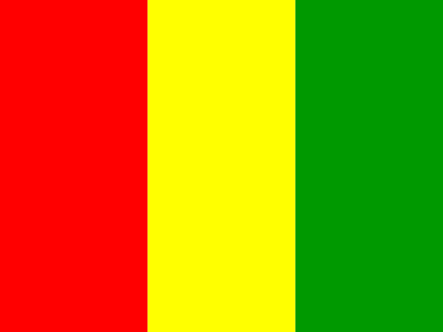
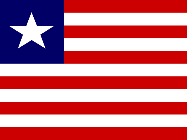
Sierra Leone shares land borders with 2 countries: Guinea and Liberia. The map on this page outlines each of them around Sierra Leone. The count includes only borders on land, not neighbours across a sea or a lake. Borders here follow Natural Earth at the 1:50 million scale, with Crimea shown as part of Ukraine and Western Sahara as a separate territory.
How big is Sierra Leone?
Sierra Leone covers 72,300 square kilometres, or about 27,915 square miles. That makes it the 119th largest of the 195 countries. The figure is total surface area, which includes inland water such as lakes and rivers. Its population of about 8.82 million gives a density of 122 people per square kilometre.
Sierra Leone is a country in Africa, in West Africa, with about 8.82 million people (2025) and an area of 72,300 square kilometres. Its capital is Freetown, and it shares land borders with 2 countries.
Capital
Freetown
Continent
Africa
Region
West Africa
Population
8,819,794 2025, World Bank. 100th of 195.
Area
72,300 km² (27,915 sq mi) World Bank, surface area. 119th largest of 195.
Population density
122 people per km²
Land neighbours
2: Guinea, Liberia
Official name
Republic of Sierra Leone
UN status
Member state
PLACE · from the Geography app
A mountainous peninsula that gave the country its name
Sierra Leone sits on the West African coast between Guinea and Liberia. Its name, meaning Lion Mountains, came from Portuguese explorers who saw a crouching lion in the mountainous Freetown Peninsula, or perhaps heard it in the roar of storms off the coast. The land rises from mangrove-fringed lowlands through forested hills to the Loma Mountains in the northeast, which reach 1,948 meters. Freetown's natural harbor has shaped the country since it became a settlement for freed slaves in the late 18th century.
Keep going on your iPhone. Scan for Geography: the world, one country at a time, about five minutes a day. No quizzes and no streaks. playgeography.app/countries/sierra-leone/ · Map data: Natural Earth. Figures: World Bank and national sources, as listed on the page.
Geography · Country report
Sierra Leone
NameDate
Draw the flag
Colour Sierra Leone on the map, then fill in what you find.
Capital
Continent
Population
Area
Languages
Currency
Neighbours
Landmarks
Rivers or mountains
Three things I learned
1
2
3
One question I still have
?
Keep going on your iPhone. Scan for Geography: the world, one country at a time, about five minutes a day. No quizzes and no streaks. playgeography.app/countries/sierra-leone/ · Map data: Natural Earth. Figures: World Bank and national sources, as listed on the page.