Key facts about Saint Lucia
| Capital | Castries |
|---|---|
| Continent | North America |
| Region | Central America and the Caribbean |
| Population | 180,149 2025, World Bank. 177th of 195. |
| Area | 620 km² (239 sq mi) World Bank, surface area. 178th largest of 195. |
| Population density | 291 people per km² |
| Land neighbours | None. It has no land borders with another country. |
| UN status | Member state |
| Capital coordinates | 14.00° N, 61.00° W Castries, Natural Earth. |
No land borders
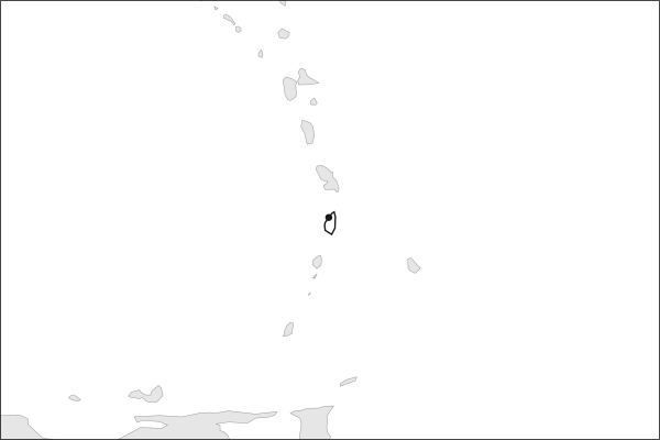
Saint Lucia shares no land border with another country. Its nearest neighbours are across the sea, as the map above shows.
From the Geography app
The app teaches each country through short hand written lenses: PLACE for physical geography, STORY for history and identity, NOW for the news, and THREAD for the ties between countries. Here is one of Saint Lucia's 5, in full.
Two volcanic spires and a drivable crater floor
Saint Lucia covers 617 square kilometers of ridge and rainforest, dropping steeply to a calm Caribbean coast on the west and a rougher Atlantic shore on the east. Its defining landmark is a pair of lava domes rising straight from the water near Soufrière: Gros Piton at 798 meters, Petit Piton at 743, hardened plugs left by eruptions roughly 71,000 and 109,000 years ago. Behind them the collapsed Qualibou crater vents steam at Sulphur Springs, where a road runs onto the crater floor.
More on Qualibou
UNESCO inscribed 2,909 hectares around the peaks as the Pitons Management Area in 2004, listing it under criteria for natural beauty and for geology at once. The property runs from the summits down through the Qualibou geothermal field to a fringing coral reef, so the protected ground includes the vents, the domes and the seabed beneath them.
4 more lenses on Saint Lucia in the app
Titles only. The app brings each lens back on a spaced repetition schedule set by how well you knew it: New, Hazy or Clear.
Compare Saint Lucia with another country
Opens the country comparison tool with population, area, income and more side by side, every figure dated.