Bosnia and Herzegovina: map, flag, capital and key facts
Bosnia and Herzegovina is a country in Europe, in The Balkans, with about 3.14 million people (2025) and an area of 51,210 square kilometres. Its capital is Sarajevo, and it shares land borders with 3 countries.
By Team Geography·Last reviewed
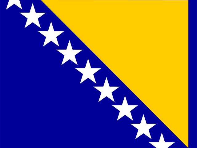
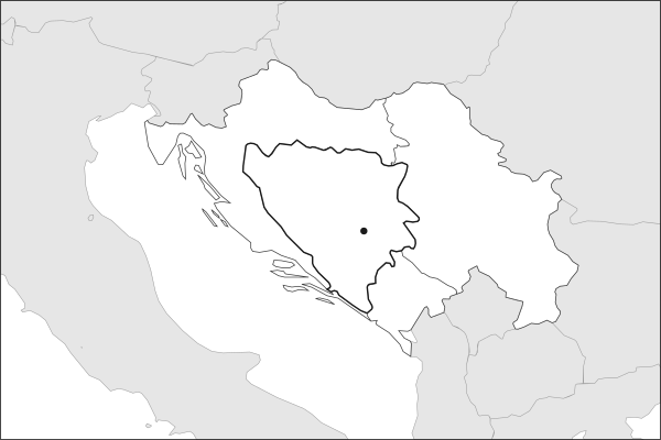
Flag of Bosnia and HerzegovinaBosnia and Herzegovina in solid, land neighbours outlined, capital marked.
The app teaches each country through short hand written lenses: PLACE for physical geography, STORY for history and identity, NOW for the news, and THREAD for the ties between countries. Here is one of Bosnia and Herzegovina's 17, in full.
PLACELens 1 of 17
Where Bosnia and Herzegovina sits on the map
Bosnia and Herzegovina occupies the heart of the western Balkans, a roughly triangular territory wedged between Croatia to the north and west, Serbia to the east, and Montenegro to the southeast. The Dinaric Alps run through the country's interior, creating deep river canyons and forested highlands. A 20-kilometer sliver of coastline at Neum provides the country's only access to the Adriatic Sea, splitting Croatia's Dalmatian coast in two.
More on Neum
This narrow coastal corridor has been Bosnian territory since the 1699 Treaty of Karlowitz. Croatia's Peljesac Bridge, completed in 2022, now bypasses Neum to connect its southern coast without crossing Bosnian territory.
16 more lenses on Bosnia and Herzegovina in the app
STORY The layers of Bosnian identity
NOW The reforms wait while the young people leave
THREAD How Bosnia connects to the wider region
PLACE Bosnia's hidden waterways
PLACE A mountainous heart of the Balkans
STORY One team from a divided peace
NOW Past Italy, and beyond the group stage at last
THREAD A diaspora scattered by war, returning to play
PLACE Sarajevo and Mostar, two football poles
STORY Edin Dzeko, a striker as symbol
NOW A federation shaped by ethnic politics
THREAD The shadow of a shared Yugoslav past
STORY The book Sarajevo has twice hidden from armies
NOW Lignite pays the bills and fouls the air
THREAD The tribunal that rebuilt international criminal law
PLACE A city sinking into the salt beneath it
Titles only. The app brings each lens back on a spaced repetition schedule set by how well you knew it: New, Hazy or Clear.
Compare Bosnia and Herzegovina with another country
Opens the country comparison tool with population, area, income and more side by side, every figure dated.
Common questions
What is the capital of Bosnia and Herzegovina?
The capital of Bosnia and Herzegovina is Sarajevo. Sarajevo lies at about 43.9 degrees north and 18.4 degrees east. Bosnia and Herzegovina is in Europe, in the region often called The Balkans. It is home to about 3.14 million people.
What is the population of Bosnia and Herzegovina?
About 3.14 million people live in Bosnia and Herzegovina, according to the World Bank figures for 2025. That makes it the 133rd most populous of the 195 countries. With an area of 51,210 square kilometres, that is about 61 people per square kilometre.
What countries border Bosnia and Herzegovina?
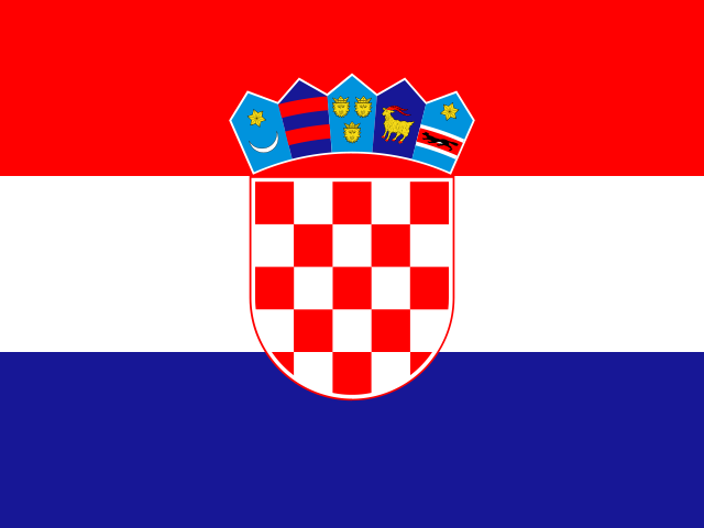
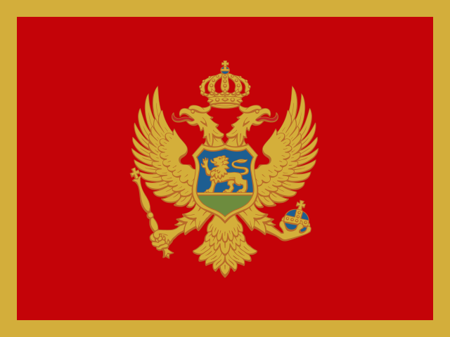
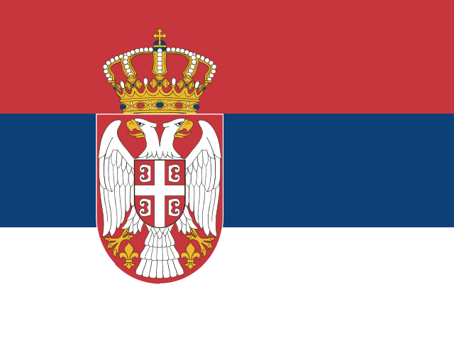
Bosnia and Herzegovina shares land borders with 3 countries: Croatia, Montenegro and Serbia. The map on this page outlines each of them around Bosnia and Herzegovina. The count includes only borders on land, not neighbours across a sea or a lake.
How big is Bosnia and Herzegovina?
Bosnia and Herzegovina covers 51,210 square kilometres, or about 19,772 square miles. That makes it the 126th largest of the 195 countries. The figure is total surface area, which includes inland water such as lakes and rivers. Its population of about 3.14 million gives a density of 61 people per square kilometre.
Bosnia and Herzegovina is a country in Europe, in The Balkans, with about 3.14 million people (2025) and an area of 51,210 square kilometres. Its capital is Sarajevo, and it shares land borders with 3 countries.
Capital
Sarajevo
Continent
Europe
Region
The Balkans
Population
3,140,095 2025, World Bank. 133rd of 195.
Area
51,210 km² (19,772 sq mi) World Bank, surface area. 126th largest of 195.
Population density
61 people per km²
Land neighbours
3: Croatia, Montenegro, Serbia
UN status
Member state
PLACE · from the Geography app
Where Bosnia and Herzegovina sits on the map
Bosnia and Herzegovina occupies the heart of the western Balkans, a roughly triangular territory wedged between Croatia to the north and west, Serbia to the east, and Montenegro to the southeast. The Dinaric Alps run through the country's interior, creating deep river canyons and forested highlands. A 20-kilometer sliver of coastline at Neum provides the country's only access to the Adriatic Sea, splitting Croatia's Dalmatian coast in two.
Keep going on your iPhone. Scan for Geography: the world, one country at a time, about five minutes a day. No quizzes and no streaks. playgeography.app/countries/bosnia-and-herzegovina/ · Map data: Natural Earth. Figures: World Bank and national sources, as listed on the page.
Geography · Country report
Bosnia and Herzegovina
NameDate
Draw the flag
Colour Bosnia and Herzegovina on the map, then fill in what you find.
Capital
Continent
Population
Area
Languages
Currency
Neighbours
Landmarks
Rivers or mountains
Three things I learned
1
2
3
One question I still have
?
Keep going on your iPhone. Scan for Geography: the world, one country at a time, about five minutes a day. No quizzes and no streaks. playgeography.app/countries/bosnia-and-herzegovina/ · Map data: Natural Earth. Figures: World Bank and national sources, as listed on the page.