Croatia is a country in Europe, in The Balkans, with about 3.88 million people (2025) and an area of 88,070 square kilometres. Its capital is Zagreb, and it shares land borders with 5 countries.
By Team Geography·Last reviewed
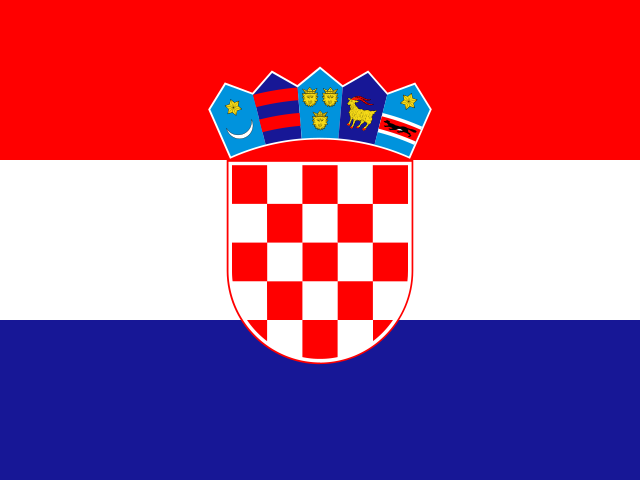
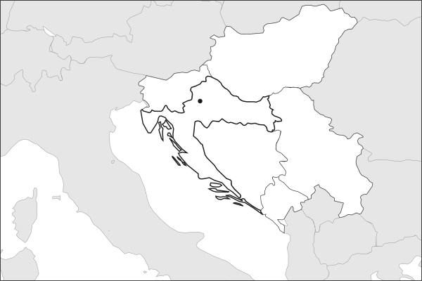
Flag of CroatiaCroatia in solid, land neighbours outlined, capital marked.
The app teaches each country through short hand written lenses: PLACE for physical geography, STORY for history and identity, NOW for the news, and THREAD for the ties between countries. Here is one of Croatia's 17, in full.
PLACELens 1 of 17
Where Croatia sits on the map
Croatia curves in a distinctive boomerang shape from the Pannonian Plain in the northeast down through the Dinaric Alps to a long Adriatic coastline in the west and south. The coast stretches over 1,700 kilometers and includes more than 1,200 islands, of which roughly 50 are permanently inhabited. The capital Zagreb sits inland on the Sava River, while the historic cities of Split and Dubrovnik anchor the Dalmatian coast. Istria, the triangular peninsula in the northwest, looks more toward Italy than the Balkans.
More on Dalmatian coast
Running from Zadar to Dubrovnik, the Dalmatian coast was shaped by Venetian rule lasting from the 15th to 18th centuries. The coastal towns retain Venetian architecture, stone-walled old quarters, and a culinary tradition distinct from the continental interior.
16 more lenses on Croatia in the app
STORY The making of Croatian identity
NOW Fully inside Europe, and fully booked
THREAD Croatia's links across the region
PLACE Croatia's island geography
PLACE A crescent of coast and capital
STORY A nation that found itself through football
NOW Modric at forty, and an early exit
THREAD A 2018 final and a Balkan brotherhood
PLACE Zagreb and Split, inland against the sea
STORY From war to the world stage
NOW A small nation that keeps producing
THREAD Heirs of the Yugoslav school of midfield play
STORY The republic that invented waiting out a plague
NOW A country that emptied, then began refilling
THREAD A bridge built to skip a neighbor
PLACE Rivers that vanish into the limestone
Titles only. The app brings each lens back on a spaced repetition schedule set by how well you knew it: New, Hazy or Clear.
Compare Croatia with another country
Opens the country comparison tool with population, area, income and more side by side, every figure dated.
Common questions
What is the capital of Croatia?
The capital of Croatia is Zagreb. Zagreb lies at about 45.8 degrees north and 16.0 degrees east. Croatia is in Europe, in the region often called The Balkans. It is home to about 3.88 million people. The world capitals quiz on this site tests every capital, and the printable capitals sheets cover each continent.
What is the population of Croatia?
About 3.88 million people live in Croatia, according to the World Bank figures for 2025. That makes it the 129th most populous of the 195 countries. With an area of 88,070 square kilometres, that is about 44 people per square kilometre.
What countries border Croatia?
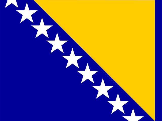
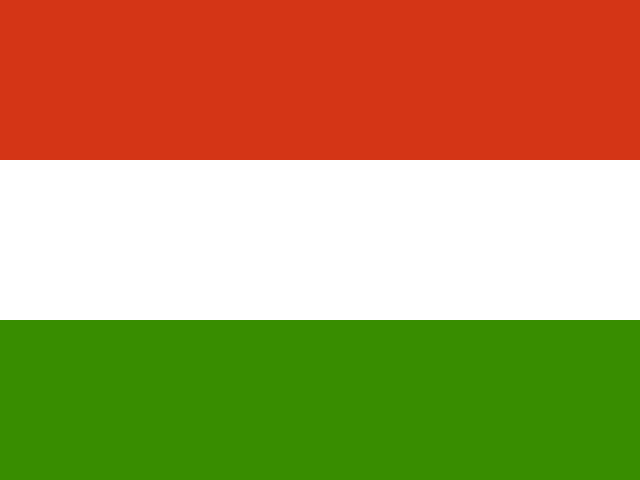
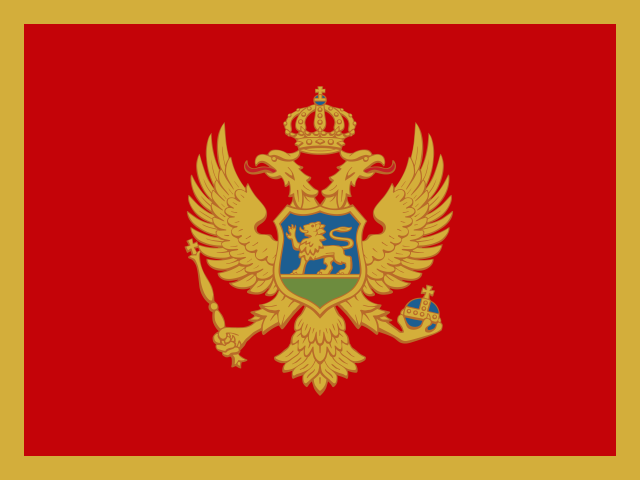
Croatia shares land borders with 5 countries: Bosnia and Herzegovina, Hungary, Montenegro, Serbia and Slovenia. Montenegro touches a part of Croatia that lies away from its main territory. The map on this page outlines each of them around Croatia. The count includes only borders on land, not neighbours across a sea or a lake.
How big is Croatia?
Croatia covers 88,070 square kilometres, or about 34,004 square miles. That makes it the 113th largest of the 195 countries. The figure is total surface area, which includes inland water such as lakes and rivers. Its population of about 3.88 million gives a density of 44 people per square kilometre.
Croatia is a country in Europe, in The Balkans, with about 3.88 million people (2025) and an area of 88,070 square kilometres. Its capital is Zagreb, and it shares land borders with 5 countries.
Capital
Zagreb
Continent
Europe
Region
The Balkans
Population
3,876,200 2025, World Bank. 129th of 195.
Area
88,070 km² (34,004 sq mi) World Bank, surface area. 113th largest of 195.
Population density
44 people per km²
Land neighbours
5: Bosnia and Herzegovina, Hungary, Montenegro, Serbia, Slovenia
Official name
Republic of Croatia
UN status
Member state
PLACE · from the Geography app
Where Croatia sits on the map
Croatia curves in a distinctive boomerang shape from the Pannonian Plain in the northeast down through the Dinaric Alps to a long Adriatic coastline in the west and south. The coast stretches over 1,700 kilometers and includes more than 1,200 islands, of which roughly 50 are permanently inhabited. The capital Zagreb sits inland on the Sava River, while the historic cities of Split and Dubrovnik anchor the Dalmatian coast. Istria, the triangular peninsula in the northwest, looks more toward Italy than the Balkans.
Keep going on your iPhone. Scan for Geography: the world, one country at a time, about five minutes a day. No quizzes and no streaks. playgeography.app/countries/croatia/ · Map data: Natural Earth. Figures: World Bank and national sources, as listed on the page.
Geography · Country report
Croatia
NameDate
Draw the flag
Colour Croatia on the map, then fill in what you find.
Capital
Continent
Population
Area
Languages
Currency
Neighbours
Landmarks
Rivers or mountains
Three things I learned
1
2
3
One question I still have
?
Keep going on your iPhone. Scan for Geography: the world, one country at a time, about five minutes a day. No quizzes and no streaks. playgeography.app/countries/croatia/ · Map data: Natural Earth. Figures: World Bank and national sources, as listed on the page.