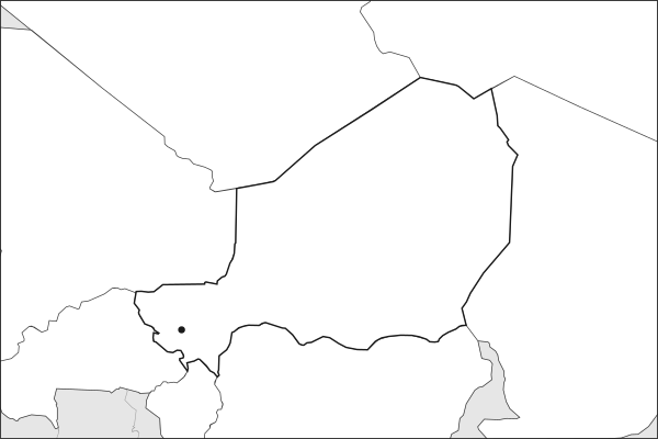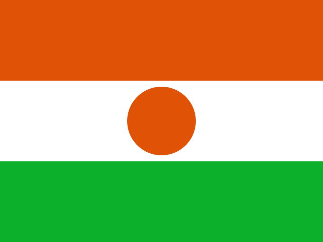
Key facts about Niger
| Capital | Niamey |
|---|---|
| Continent | Africa |
| Region | West Africa |
| Population | 27,917,831 2025, World Bank. 54th of 195. |
| Area | 1,267,000 km² (489,191 sq mi) World Bank, surface area. 21st largest of 195. |
| Population density | 22 people per km² |
| Land neighbours | 7: Algeria, Benin, Burkina Faso, Chad, Libya, Mali, Nigeria |
| Official name | Republic of the Niger |
| UN status | Member state |
| Capital coordinates | 13.52° N, 2.11° E Niamey, Natural Earth. |
Land neighbours
Niger borders 7 countries on land. Each links to its own page.
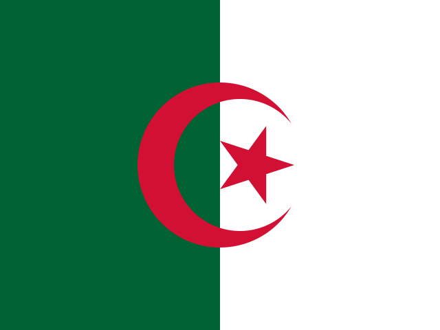 AlgeriaAlgiers
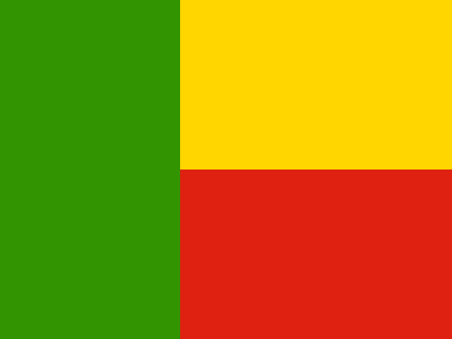 BeninPorto-Novo and Cotonou
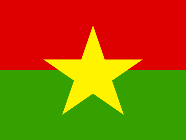 Burkina FasoOuagadougou
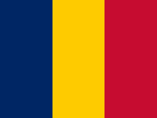 ChadN'Djamena
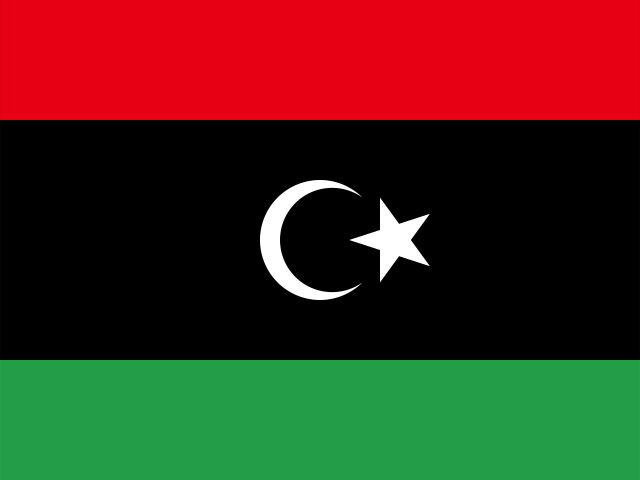 LibyaTripoli
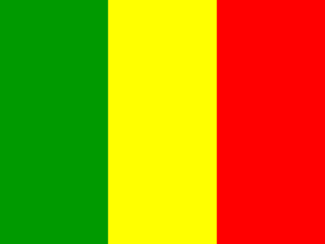 MaliBamako
 NigeriaAbuja
From the Geography app
The app teaches each country through short hand written lenses: PLACE for physical geography, STORY for history and identity, NOW for the news, and THREAD for the ties between countries. Here is one of Niger's 5, in full.
A Saharan giant with most of its people in a narrow southern strip
Roughly 80 percent of Niger, among Africa's largest countries, is Saharan desert. Nearly all of its 26 million people live in a semi-arid Sahel band along the southern border, near the Niger River and the Nigerian frontier. The capital, Niamey, sits on the river in the southwest. In the north the Air Mountains rise from the sand, and the Tenere, one of the Sahara's emptiest stretches, runs toward Libya. The habitable strip is crowded; the north is nearly empty and hard to govern.
More on Tenere
A hyper-arid sand sea in northeastern Niger, sometimes called "the desert within a desert." Tuareg caravan routes have crossed it for centuries, linking the Sahel to Libya and Algeria.
4 more lenses on Niger in the app
Titles only. The app brings each lens back on a spaced repetition schedule set by how well you knew it: New, Hazy or Clear.
Compare Niger with another country
Opens the country comparison tool with population, area, income and more side by side, every figure dated.