Belgium is a country in Europe, with about 11.9 million people (2025) and an area of 30,689 square kilometres. Its capital is Brussels, and it shares land borders with 4 countries.
By Team Geography·Last reviewed
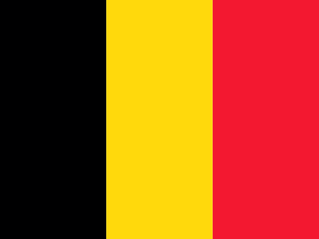
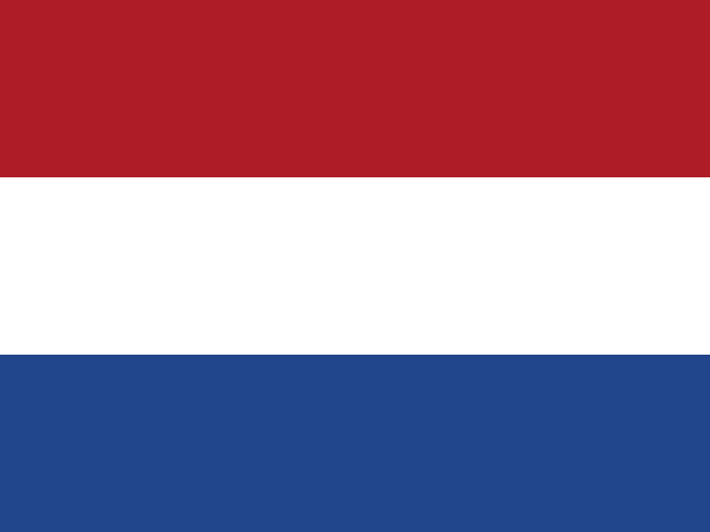
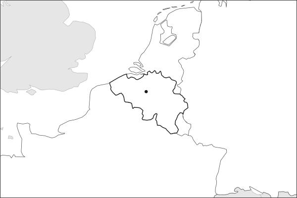
Flag of BelgiumBelgium in solid, land neighbours outlined, capital marked.
The app teaches each country through short hand written lenses: PLACE for physical geography, STORY for history and identity, NOW for the news, and THREAD for the ties between countries. Here is one of Belgium's 17, in full.
PLACELens 1 of 17
A small country at a continental hinge
Belgium occupies just 30,689 square kilometers of northwestern Europe, bordered by France, Luxembourg, Germany, and the Netherlands, with a 67-kilometer coastline on the North Sea. The terrain tilts from the flat Flemish plain in the north, barely above sea level, to the forested Ardennes plateau in the southeast, which rises to 694 meters at Signal de Botrange. The Scheldt River system drains the western half of the country and feeds the Port of Antwerp, Europe's second-largest seaport by cargo tonnage.
More on Scheldt River
The Scheldt rises in northern France and flows 350 kilometers through Belgium before emptying into the North Sea via Dutch territory. Control of its estuary has been a source of diplomatic tension between Belgium and the Netherlands since Belgian independence in 1830, because Antwerp's access to the sea depends on navigating Dutch waters.
16 more lenses on Belgium in the app
STORY A country divided by language
NOW The capital of European institutions
THREAD Where trade routes converge
STORY The complicated legacy of Congo
PLACE A divided land, mapped by its clubs
STORY A golden generation and a unifying flag
NOW A quarter-final, and a generation handing over
THREAD Brussels, a capital of many origins
PLACE Bruges, Genk and the Flemish football belt
STORY Anderlecht and the weight of expectation
NOW A small market that exports talent
THREAD The Low Countries and a shared football world
PLACE A seam of coal ran through Wallonia
NOW A country reverses its own nuclear exit
THREAD A single Antwerp street sorts the world's diamonds
PLACE The inlet that silted and moved a city
Titles only. The app brings each lens back on a spaced repetition schedule set by how well you knew it: New, Hazy or Clear.
Compare Belgium with another country
Opens the country comparison tool with population, area, income and more side by side, every figure dated.
Common questions
What is the capital of Belgium?
The capital of Belgium is Brussels. Brussels lies at about 50.8 degrees north and 4.3 degrees east. Belgium is in Europe. It is home to about 11.9 million people. The world capitals quiz on this site tests every capital, and the printable capitals sheets cover each continent.
What is the population of Belgium?
About 11.9 million people live in Belgium, according to the World Bank figures for 2025. That makes it the 81st most populous of the 195 countries. With an area of 30,689 square kilometres, that is about 389 people per square kilometre.
What countries border Belgium?
Belgium shares land borders with 4 countries: France, Germany, Luxembourg and Netherlands. The map on this page outlines each of them around Belgium. The count includes only borders on land, not neighbours across a sea or a lake. Borders here follow Natural Earth at the 1:50 million scale, with Crimea shown as part of Ukraine and Western Sahara as a separate territory.
How big is Belgium?
Belgium covers 30,689 square kilometres, or about 11,849 square miles. That makes it the 136th largest of the 195 countries. The figure is total surface area, which includes inland water such as lakes and rivers. Its population of about 11.9 million gives a density of 389 people per square kilometre.
Belgium is a country in Europe, with about 11.9 million people (2025) and an area of 30,689 square kilometres. Its capital is Brussels, and it shares land borders with 4 countries.
Capital
Brussels
Continent
Europe
Population
11,941,781 2025, World Bank. 81st of 195.
Area
30,689 km² (11,849 sq mi) World Bank, surface area. 136th largest of 195.
Population density
389 people per km²
Land neighbours
4: France, Germany, Luxembourg, Netherlands
Official name
Kingdom of Belgium
UN status
Member state
PLACE · from the Geography app
A small country at a continental hinge
Belgium occupies just 30,689 square kilometers of northwestern Europe, bordered by France, Luxembourg, Germany, and the Netherlands, with a 67-kilometer coastline on the North Sea. The terrain tilts from the flat Flemish plain in the north, barely above sea level, to the forested Ardennes plateau in the southeast, which rises to 694 meters at Signal de Botrange. The Scheldt River system drains the western half of the country and feeds the Port of Antwerp, Europe's second-largest seaport by cargo tonnage.
Keep going on your iPhone. Scan for Geography: the world, one country at a time, about five minutes a day. No quizzes and no streaks. playgeography.app/countries/belgium/ · Map data: Natural Earth. Figures: World Bank and national sources, as listed on the page.
Geography · Country report
Belgium
NameDate
Draw the flag
Colour Belgium on the map, then fill in what you find.
Capital
Continent
Population
Area
Languages
Currency
Neighbours
Landmarks
Rivers or mountains
Three things I learned
1
2
3
One question I still have
?
Keep going on your iPhone. Scan for Geography: the world, one country at a time, about five minutes a day. No quizzes and no streaks. playgeography.app/countries/belgium/ · Map data: Natural Earth. Figures: World Bank and national sources, as listed on the page.